The 15 Best UK Cycling Routes: Long-Distance to Traffic-Free
The 15 best UK cycling routes compared by distance, days, traffic-free share and highest point, from the North Coast 500 to the Camel Trail, with stations.
Quick links
Don't want to read all this?
We've planned 800+ cycling trips. Send your dates, fitness and group size — we'll map the route and book every night.


Britain fits a lot of different riding into a small island. In one summer you can climb the hairpins of the Bealach na Bà, 626 m above Applecross, and follow Hadrian's Wall for 174 miles from the Irish Sea to the North Sea. On a rest day, an old railway line takes you beside the Camel estuary to Padstow.
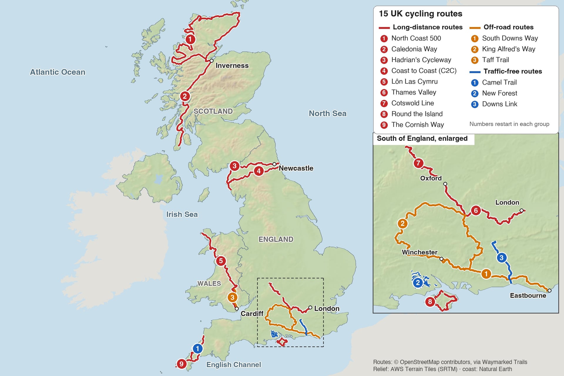
The best UK cycle routes are grouped here by the kind of riding: nine long-distance routes from the North Coast 500 to the Cornish Way, three off-road routes on chalk and gravel, and three traffic-free trails. They are numbered for navigation, not ranked.
Twelve of the 15 start or finish at a railway station, and you rarely need a car to reach them.
UK Cycling Routes at a Glance
The routes run from the 18-mile Camel Trail to the 516-mile loop of the North Coast 500, and from sea-level rail trails to a 626 m mountain pass.
Route | Type | Distance | Days | Traffic-free | Highest point |
North Coast 500 | Long-distance | 516 mi (830 km) | 7 to 10 | None | 626 m |
Caledonia Way | Long-distance | 234 mi (377 km) | 5 to 7 | 26.7% | about 390 m |
Hadrian's Cycleway | Long-distance | 174 mi (280 km) | 3 to 5 | 32.2% | 255 m |
Coast to Coast (C2C) | Long-distance | 137.5 mi (221 km) | 3 to 5 | 44.6% | 609 m |
Lôn Las Cymru | Long-distance | 250 mi (402 km) | 4 to 7 | 28.2% | about 510 m |
Thames Valley | Long-distance | 99 mi (159 km) | 2 to 3 | 48.1% | about 195 m |
Cotswold Line | Long-distance | 43 mi (69 km) | 1 to 2 | 10% | about 200 m |
Round the Island | Long-distance | 64.5 mi (104 km) | 1 to 2 | 3.1% | about 170 m |
The Cornish Way | Long-distance | 195 mi (314 km) | 3 to 5 | 24% | about 300 m |
South Downs Way | Off-road | 100 mi (160 km) | 2 to 4 | Almost all | about 245 m |
King Alfred's Way | Off-road | 217 mi (350 km) | 3 to 5 | Mostly | about 275 m |
Taff Trail | Off-road | 55 mi (88 km) | 1 to 2 | Mostly | about 445 m |
Camel Trail | Traffic-free | 18 mi (29 km) | Half a day | Almost all | under 80 m |
New Forest | Traffic-free | 100+ mi network | Day rides | Mostly | about 125 m |
Downs Link | Traffic-free | 37 mi (59 km) | 1 | Almost all | about 130 m |
Most hills: the North Coast 500, the C2C and Lôn Las Cymru, which all top 500 m.
Fewest hills: the Camel Trail, the New Forest and the Downs Link, all under 135 m at their highest point.
Most traffic-free of the long routes: the Thames Valley (48.1%) and the C2C (44.6%).
First off-road trip: the South Downs Way, 100 miles of bridleway with a station at each end.
Long-Distance Cycle Routes
These nine long-distance cycle routes take from a weekend to two weeks, and most of them cross a whole region from coast to coast or end to end.
1. North Coast 500, Scottish Highlands
Distance: 516 miles (830 km), a loop from Inverness
Typical days: 7 to 10
Traffic-free: none; public roads, single-track with passing places in the west and north
Highest point: 626 m on the Bealach na Bà, above Applecross
Start and finish: Inverness station; the Far North Line stops at Brora, Wick and Thurso
Bike: road or touring bike with very low gears
Best for: fit riders who want mountain passes and empty coast roads
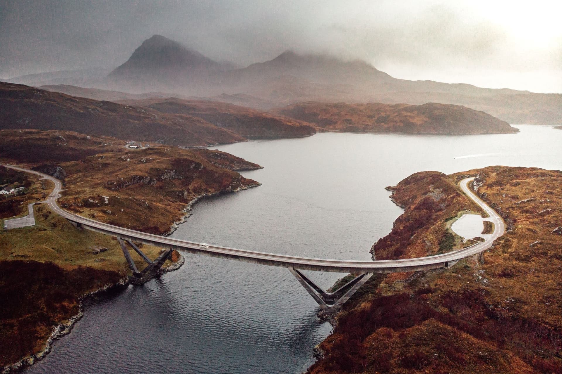
Ridden clockwise from Inverness, the loop puts the hardest climbing first, on the west coast. The Bealach na Bà climbs from sea level at Tornapress to 626 m in about 9 km, with gradients of up to 20%, then drops in hairpins to Applecross. Beyond it come Torridon, Ullapool and the mountains of Assynt.
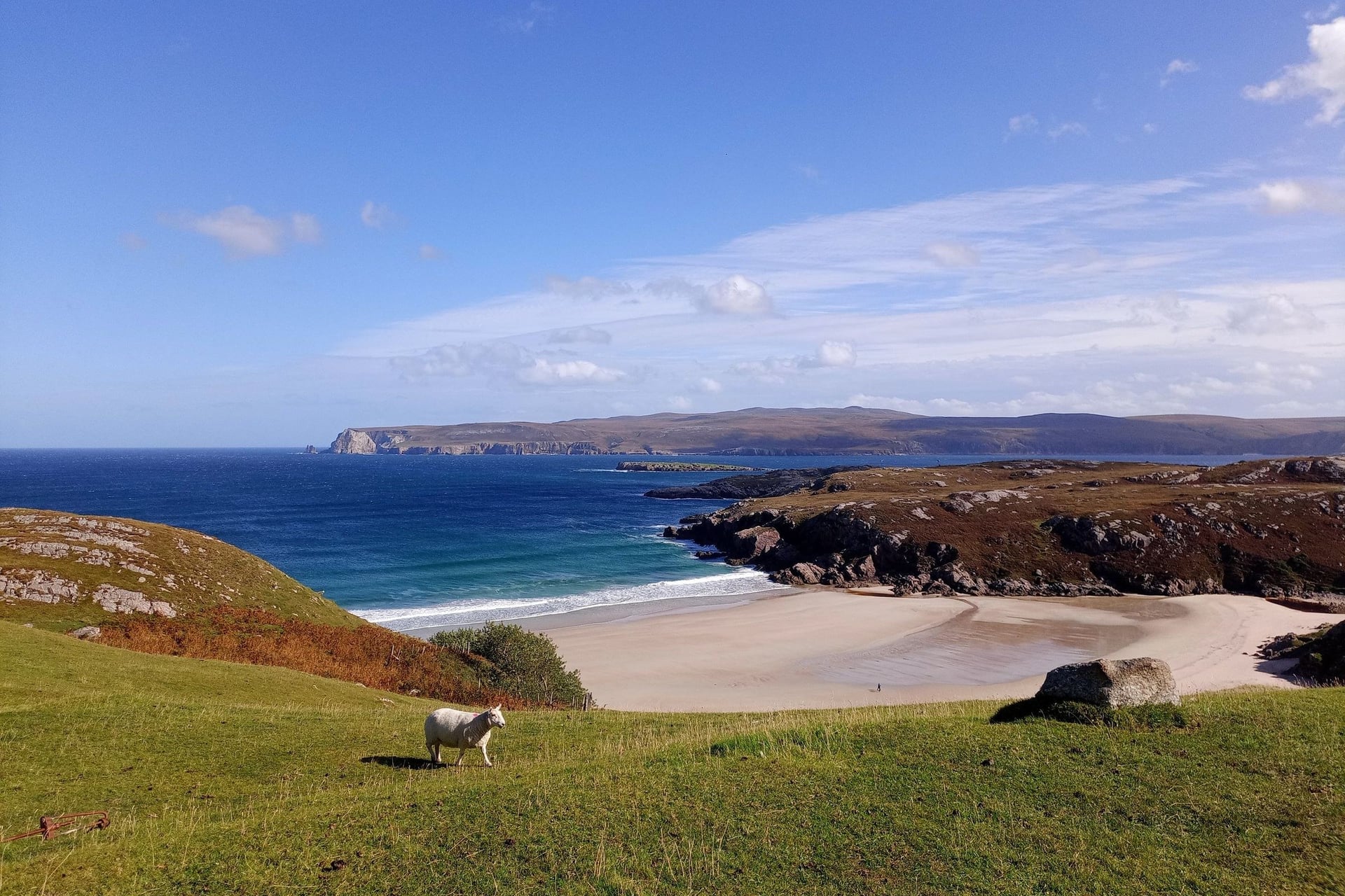
On the north coast the road drops to every beach and sea loch between Durness and Bettyhill. The east coast back to Inverness is the fastest stretch, on wider roads past Dunrobin Castle.
Full guide: North Coast 500 cycle route, on our Scottish site
2. Caledonia Way, Kintyre to Inverness
Distance: 234 miles (377 km), National Cycle Route 78
Typical days: 5 to 7
Traffic-free: 26.7%, mostly old railway path and canal towpath
Highest point: about 390 m, on the B862 east of Loch Ness
Start and finish: Campbeltown (no railway; bus or flight from Glasgow) to Inverness station; stations at Oban and Fort William on the way
Bike: touring, hybrid or gravel bike
Best for: Highland lochs and mountains on a signed route
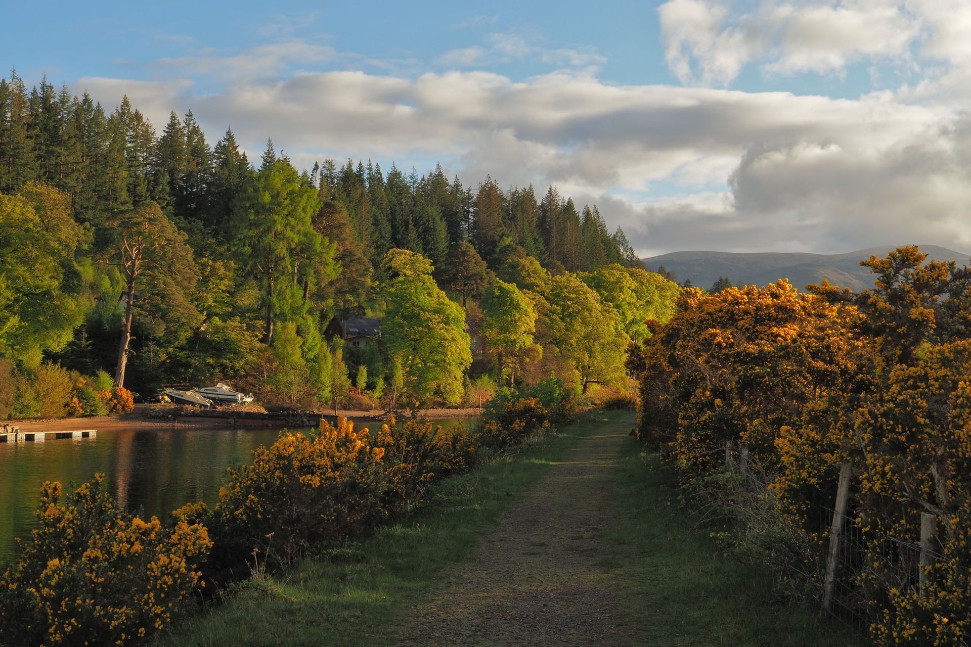
From the tip of the Kintyre peninsula, the route heads north past the Crinan Canal and the standing stones of Kilmartin Glen to Oban. North of Oban, the old railway path along Loch Linnhe is the best traffic-free stretch, passing Castle Stalker on its islet.
Two short ferries, at Corran and Camusnagaul, take you to Fort William, and the Camusnagaul boat does not sail on Sundays. The route then follows the Caledonian Canal and quiet roads east of Loch Ness, with a signed diversion at Loch Lochy until June 2029.
Full guide: Caledonia Way cycle route, on our Scottish site
3. Hadrian's Cycleway, Cumbria to Tyneside
Distance: 174 miles (280 km), National Cycle Route 72
Typical days: 3 to 5
Traffic-free: 32.2%; 97.7% of the route is asphalt
Highest point: 255 m, near Vindolanda
Start and finish: Ravenglass (Cumbrian Coast line) to South Shields (Tyne and Wear Metro); stations at Carlisle, Haltwhistle and Hexham
Bike: touring, hybrid or gravel bike with tyres of 28 mm or wider
Best for: Roman history and a first coast-to-coast ride
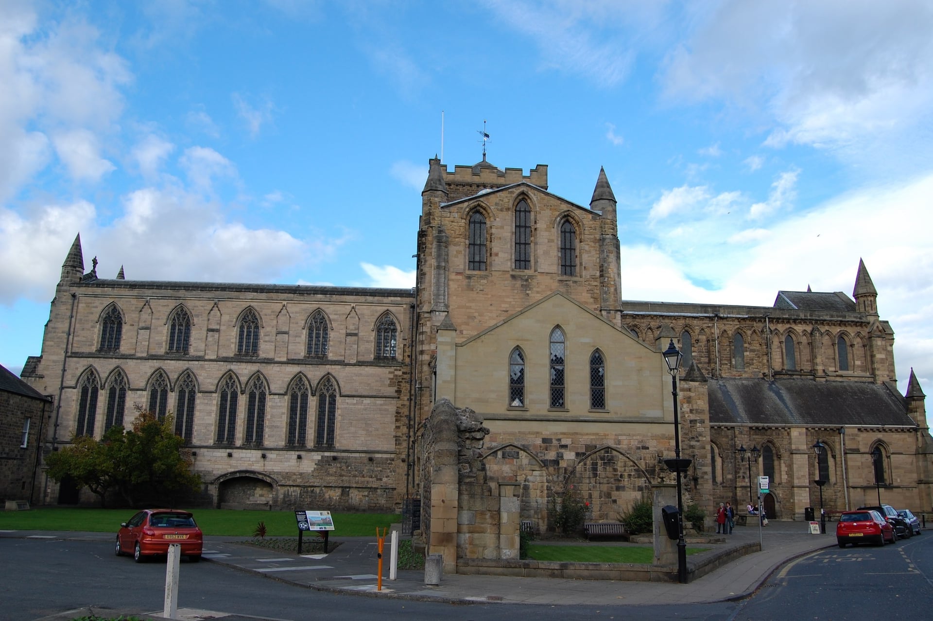
Hadrian's Cycleway follows Rome's northern frontier from the Irish Sea to the North Sea. The coasts at both ends are flat, and the hills sit in the middle, between Carlisle and Hexham, where Birdoswald, Vindolanda and Housesteads stand on the route or about a mile from it.
The coast south of Sellafield is closed to bikes because of erosion, so take the train from Seascale to Sellafield or start at Whitehaven. At the far end, the Shields Ferry carries bikes free across the Tyne.
Full guide: Hadrian's Wall cycle route, stage by stage
4. Coast to Coast (C2C), Lake District and North Pennines
Distance: 137.5 miles (221 km), Whitehaven to Sunderland
Typical days: 3 to 5
Traffic-free: 44.6%, including old railway paths from Consett to the sea
Highest point: 609 m on Black Hill, in the North Pennines
Start and finish: Whitehaven (Cumbrian Coast line) to Sunderland, or Tynemouth on the Metro; Penrith station on the way
Bike: road, hybrid or gravel bike with low gears
Best for: riders who want big climbs on a well-signed route
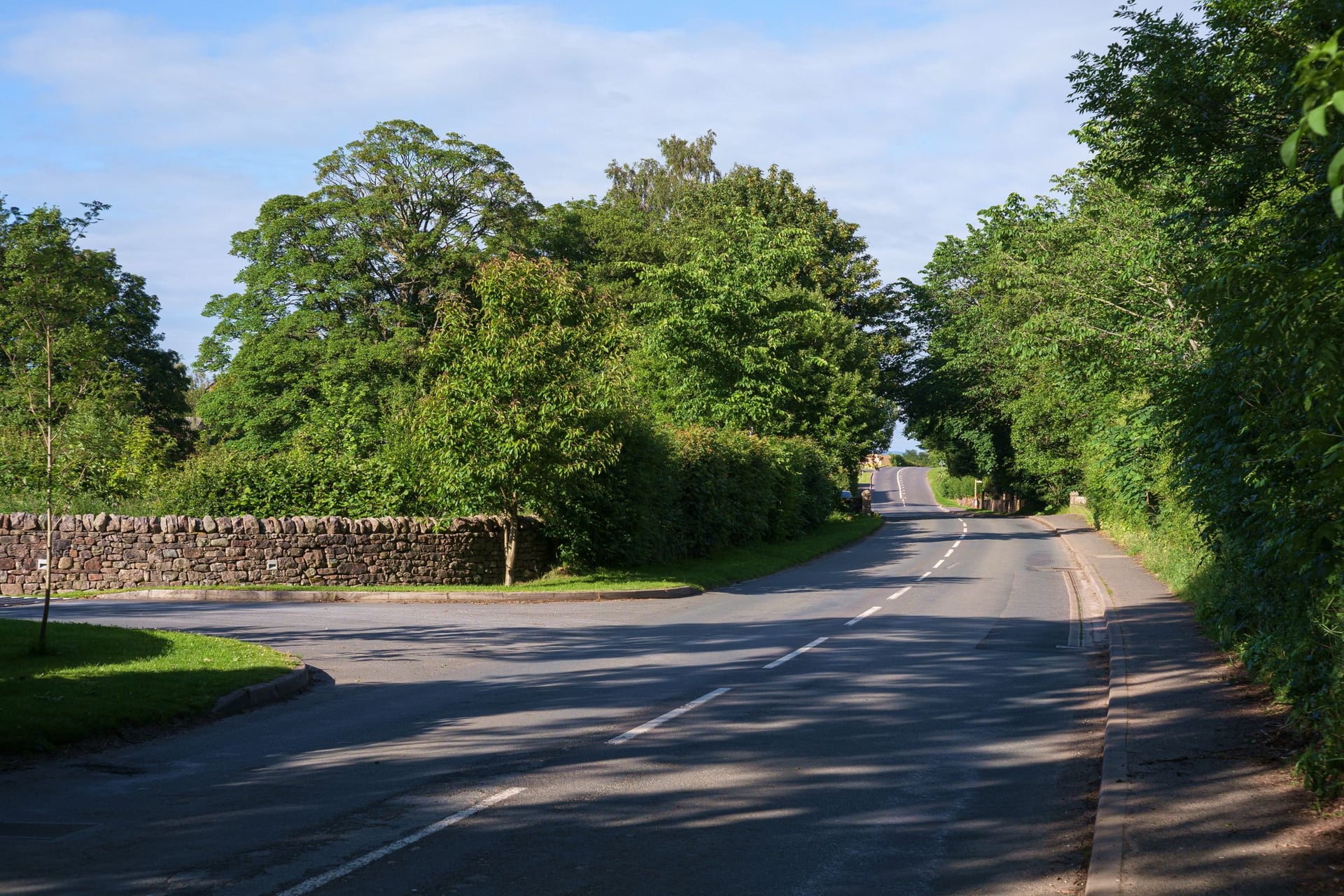
Both coast-to-coast routes cross the same narrow neck of England, but the C2C goes over the hills. From Whitehaven it climbs through Whinlatter Forest to Keswick, then follows quiet lanes through Greystoke to Penrith.
Beyond Penrith it climbs Hartside (580 m) into the North Pennines, where Black Hill reaches 609 m, more than twice the height of Hadrian's Cycleway. After Consett, the last 24 miles run downhill on old railway paths to the sea at Sunderland, past sculptures beside the track.
Full guide: Coast to Coast cycle route
5. Lôn Las Cymru, Holyhead to Cardiff
Distance: 250 miles (402 km), National Cycle Route 8; a branch ends at Chepstow
Typical days: 4 to 7
Traffic-free: 28.2%
Highest point: about 510 m, on the mountain road past Dylife
Start and finish: Holyhead station (ferries from Dublin) to Cardiff; Porthmadog and Machynlleth stations on the way
Bike: touring or gravel bike with low gears
Best for: the whole length of Wales in one trip
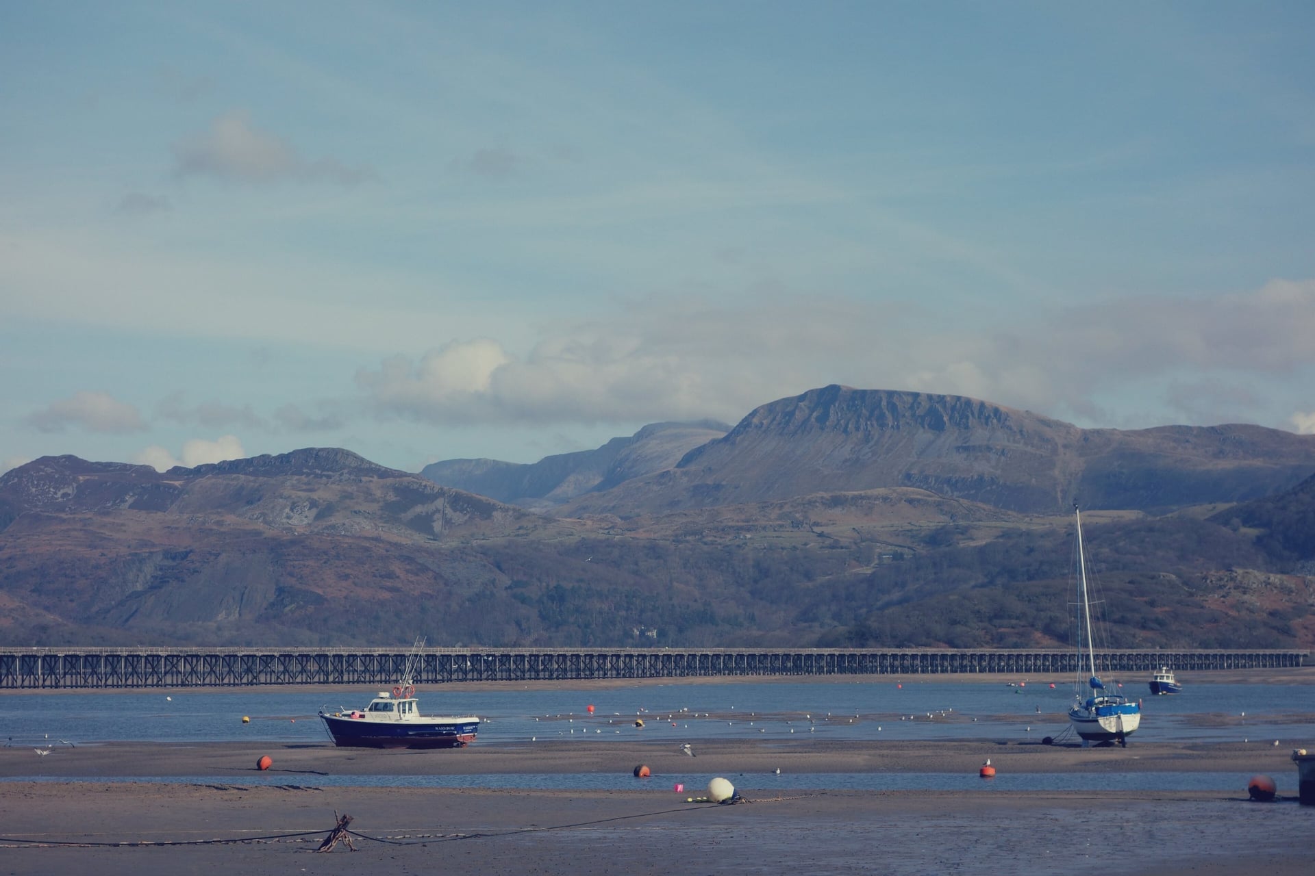
Lôn Las Cymru crosses three mountain ranges and two national parks, Eryri (Snowdonia) and Bannau Brycheiniog (the Brecon Beacons). From Anglesey it reaches Caernarfon and Porthmadog, crosses Barmouth Bridge and follows the Mawddach Trail beside the estuary into Dolgellau.
The hardest climbing comes in mid-Wales, on the mountain road from Machynlleth to Llanidloes. The route then follows the Wye valley through Builth Wells and shares the Taff Trail from Brecon to Cardiff.
6. Thames Valley Cycle Route, Oxford to London
Distance: 99 miles (159 km), National Cycle Routes 4 and 5
Typical days: 2 to 3
Traffic-free: 48.1%
Highest point: about 195 m, in the Chiltern Hills
Start and finish: Oxford station to central London; stations at Reading, Maidenhead and Windsor
Bike: hybrid, touring or gravel bike
Best for: towns, palaces and parks with few hills
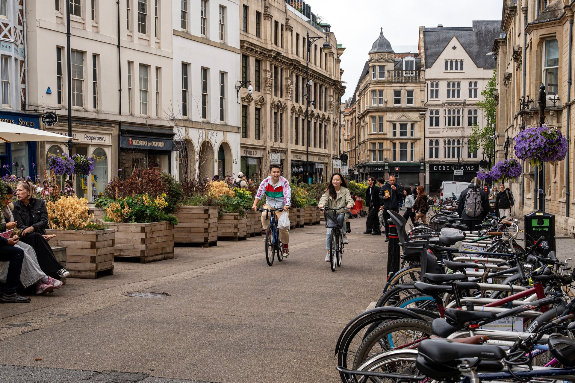
Much of the Thames Path National Trail is a footpath, so riders follow the signed Thames Valley route instead. The Thames Valley route leaves Oxford through Abingdon and Didcot, crosses the Chiltern Hills to Reading, then runs on traffic-free paths through Maidenhead and Dorney to Windsor and Eton.
Past Runnymede, where Magna Carta was sealed in 1215, the route reaches Hampton Court. It crosses Richmond Park, 2,500 acres of parkland with herds of deer, before the last miles into central London.
7. Cotswold Line Cycle Route, Cotswolds
Distance: 43 miles (69 km), National Cycle Route 442
Typical days: 1 to 2
Traffic-free: 10%; mostly quiet lanes
Highest point: about 200 m, between Kingham and Charlbury
Start and finish: Honeybourne to Hanborough, both on the Cotswold Line railway, with Moreton-in-Marsh, Kingham and Charlbury stations between
Bike: road, hybrid or e-bike
Best for: honey-stone villages within reach of a train
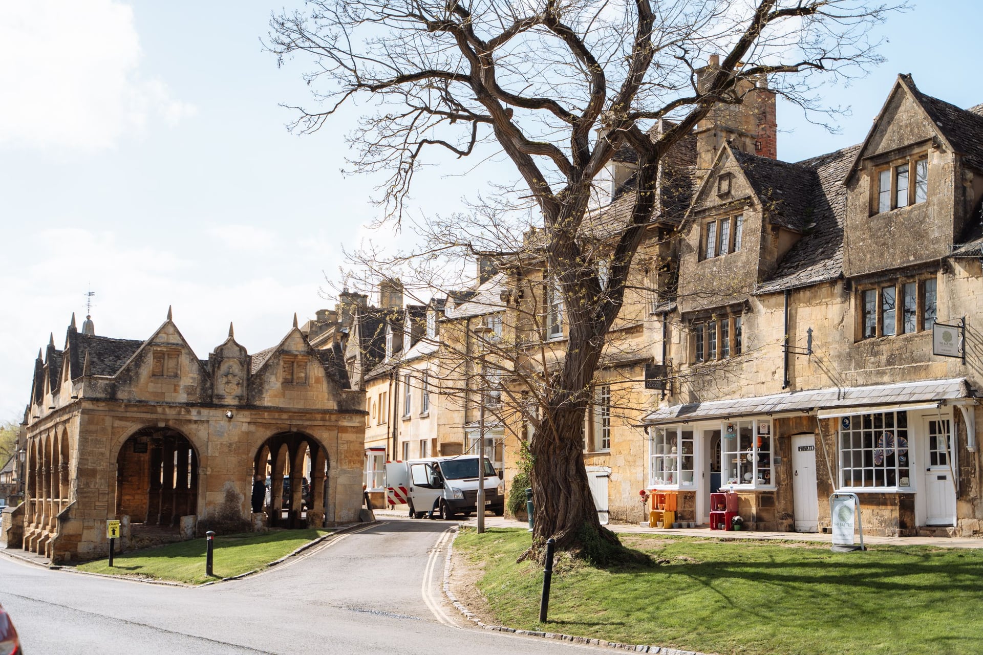
The Cotswolds are rolling limestone hills with villages built of honey-coloured stone, and the Cotswold Line route follows the Oxford to Worcester railway through the north of them. The steepest climb is the mile out of Mickleton, and then the route runs down Chipping Campden's High Street, past the Market Hall of 1627.
Beyond Moreton-in-Marsh, quiet lanes lead through Kingham and Charlbury to Hanborough. The path through Cornbury Park closes to bikes in winter, when riders use the B-road instead.
8. Round the Island, Isle of Wight
Distance: 64.5 miles (104 km), a signed loop
Typical days: 1 long day, or 2
Traffic-free: 3.1%; almost all quiet roads
Highest point: about 170 m, on the climb from Chale to Niton
Start and finish: any ferry port on the loop; mainland stations at Lymington Pier, Southampton and Portsmouth Harbour
Bike: road or hybrid bike
Best for: a short break with a ferry crossing
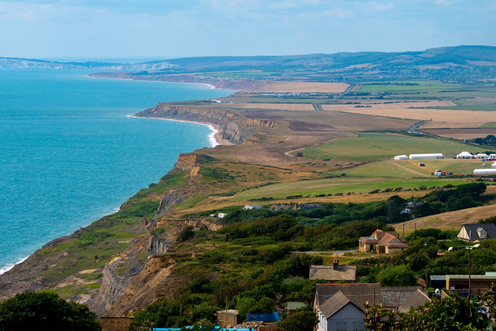
With no through traffic, the Isle of Wight suits a loop that links its ferry ports on quiet roads. The south-west side is the most scenic: the Military Road runs along the cliffs above Compton Bay and Brook, and the Needles are a detour west of Freshwater Bay.
Wightlink carries bikes free with a foot-passenger ticket but asks you to tell it in advance, because space on board is limited. If you want time for Osborne House or Ventnor, split the loop over two days.
Full guide: Isle of Wight cycle routes
9. The Cornish Way, Land's End to Bude
Distance: 195 miles (314 km) of signed route with both branches; about 130 miles from Land's End to Bude on one branch
Typical days: 3 to 5
Traffic-free: 24%
Highest point: about 300 m, on the edge of Bodmin Moor near Camelford
Start and finish: Land's End (Penzance station is about 10 miles away) to Bude (no station)
Bike: hybrid, touring or gravel bike
Best for: harbours, surf beaches and the Eden Project
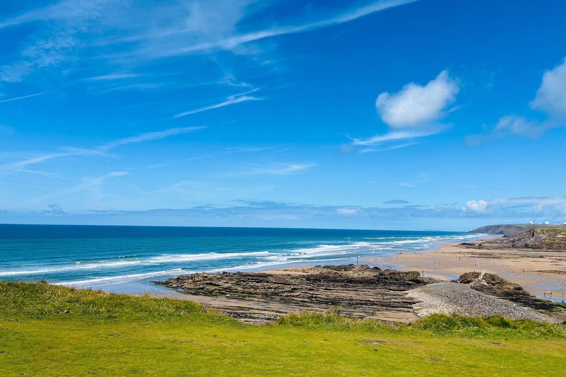
Land's End is the start of the route, which runs through Mousehole and Penzance and along the seafront to Marazion, opposite St Michael's Mount. At Truro the Cornish Way splits into two branches: Route 3 goes south via Mevagissey and the Eden Project, and Route 32 goes north via Newquay to Padstow.
The branches meet again at Bodmin. From there the route crosses the edge of Bodmin Moor to Bude, with a choice at the end between the coast road past Widemouth Bay and the lanes through Marhamchurch.
Full guide: Cycling in Cornwall
Off-Road and Gravel Cycle Routes
These three off-road cycle routes run mostly on unsurfaced bridleway, byway and old tramroad, so they need a gravel or mountain bike and are best in dry weather.
1. South Downs Way, Winchester to Eastbourne
Distance: 100 miles (160 km)
Typical days: 2 to 4
Traffic-free: almost all; chalk and flint bridleway with short road links
Highest point: about 245 m, on the slopes of Butser Hill
Start and finish: Winchester and Eastbourne stations; Amberley and Southease stations are right on the trail
Bike: mountain bike, or a gravel bike with wide tyres
Best for: a first multi-day off-road ride
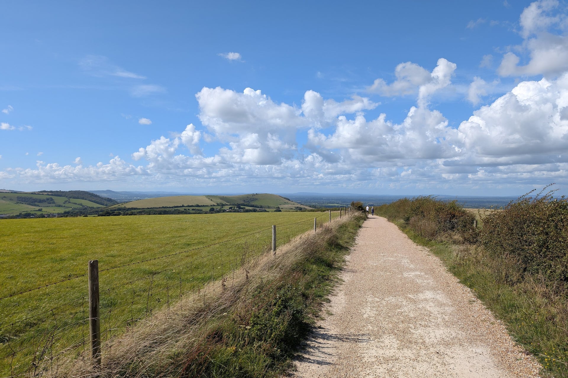
Most of the South Downs Way is bridleway along the chalk ridge of the South Downs National Park, with the Weald to the north and the sea to the south. Riders can follow it the whole way, with short alternatives where the walkers' line uses footpath.
The biggest of those is at the eastern end. From Alfriston, riders leave the walkers' cliff path over the Seven Sisters and take the bridleway past the Long Man of Wilmington and through Jevington into Eastbourne.
2. King Alfred's Way, Wessex Loop
Distance: 217 miles (350 km), a loop from Winchester
Typical days: 3 to 5
Traffic-free: mostly byway, bridleway and gravel track, with lane links
Highest point: about 275 m, on the Ridgeway
Start and finish: Winchester station; the loop also passes Goring and Streatley, and Farnham stations
Bike: gravel bike, or a mountain bike in wet months
Best for: bikepacking past stone circles and hill forts
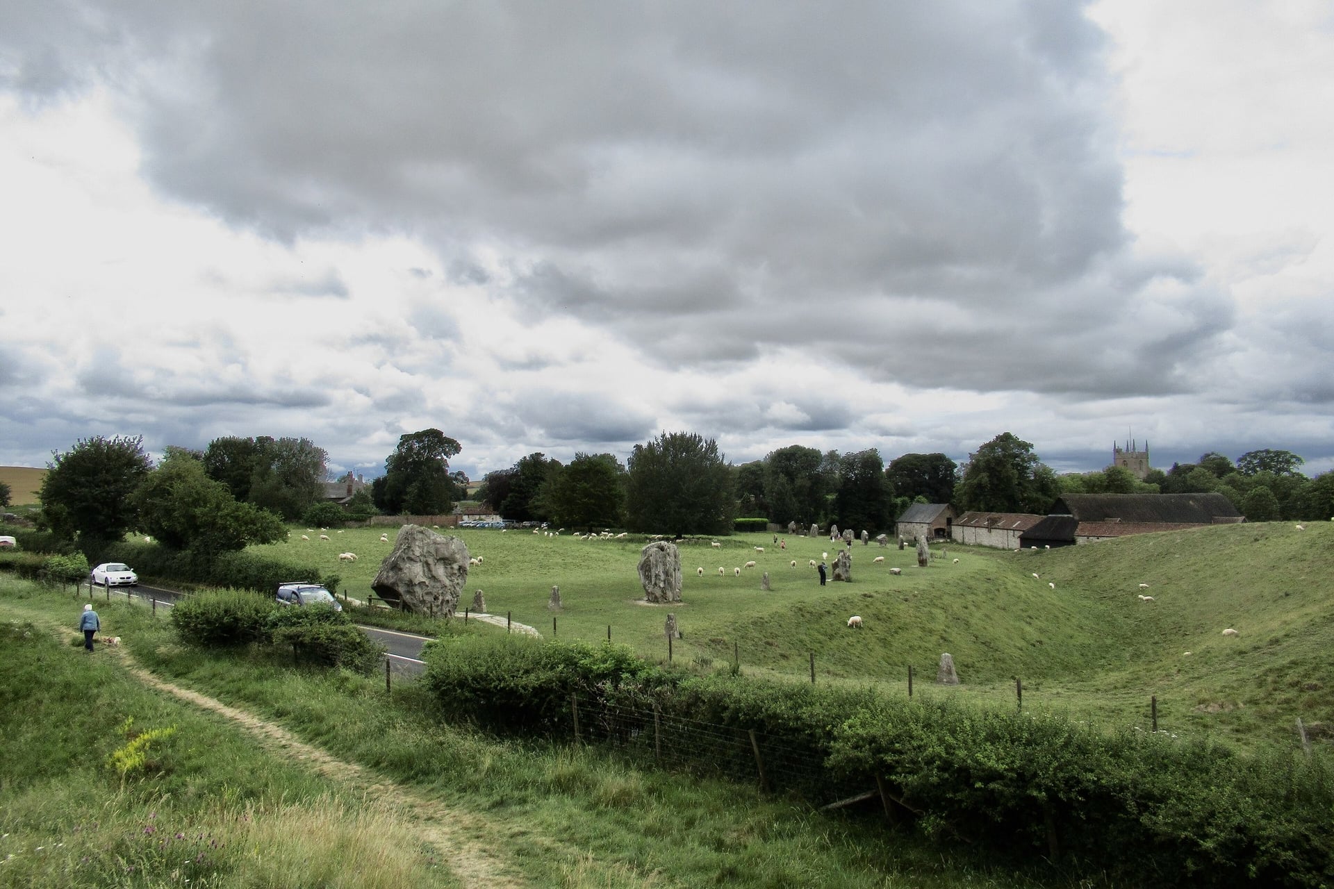
Cycling UK created King Alfred's Way as a loop around Wessex, the Anglo-Saxon kingdom of Alfred the Great, who is buried in Winchester. It passes Old Sarum, runs on byways near Stonehenge and goes through the stone circle at Avebury.
From Avebury it follows the Ridgeway past the Uffington White Horse to the Thames at Goring, then turns south through Farnham and the Devil's Punch Bowl at Hindhead. The final stretch back to Winchester uses the South Downs Way, so the two routes link easily.
3. Taff Trail, Cardiff to Brecon
Distance: 55 miles (88 km)
Typical days: 1 to 2
Traffic-free: mostly, on old tramroads, railway lines and canal towpaths
Highest point: about 445 m, at Torpantau
Start and finish: Cardiff Bay to Brecon (no station); Pontypridd and Merthyr Tydfil stations on the way
Bike: hybrid, gravel or mountain bike
Best for: a ride from the city into the mountains
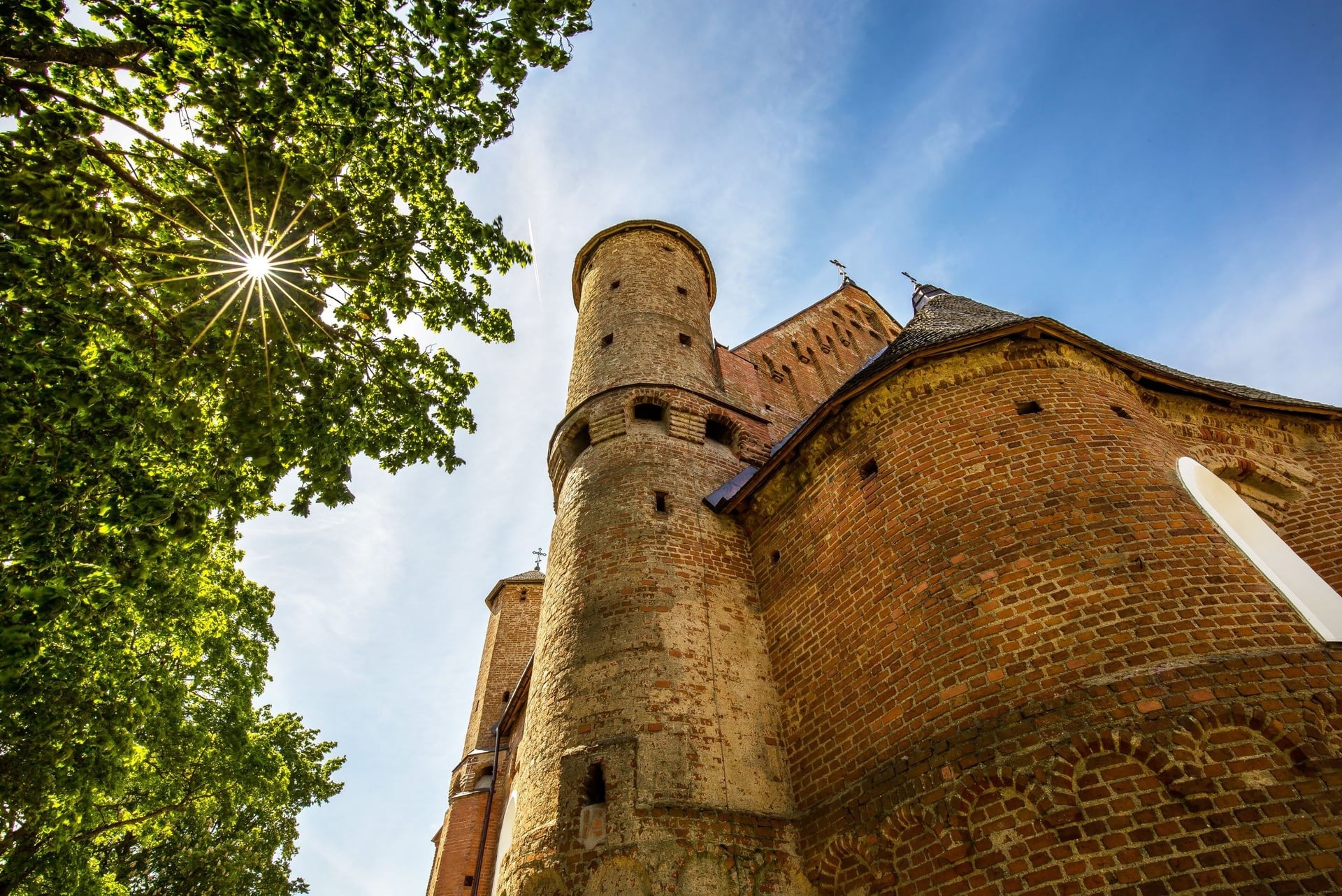
From Cardiff Bay the Taff Trail follows the Taff valley north, past the turrets of Castell Coch, to Pontypridd and Merthyr Tydfil. Much of it follows the old tramroads, railways and canals of the South Wales valleys, so you share very little of it with cars.
North of Merthyr it crosses the Cefn Coed viaduct and climbs past Pontsticill reservoir to Torpantau on gravel forest track. The rest is a long descent past Talybont reservoir and along the canal towpath into Brecon.
Traffic-Free Cycle Routes
These three traffic-free cycle routes keep you away from cars almost the whole way, which makes them good for families, hire bikes and a rest day between longer rides.
1. Camel Trail, Cornwall
Distance: 18 miles (29 km), Padstow to Wenfordbridge via Wadebridge and Bodmin
Typical days: half a day to a day
Traffic-free: almost all; a surfaced old railway line
Highest point: under 80 m; the only rise is a gentle climb towards Wenfordbridge
Start and finish: Padstow (no station) to Wenfordbridge; National Route 3 links Bodmin Parkway station to the trail through Lanhydrock
Bike: any bike; licensed hire at Padstow, Wadebridge, Bodmin and Wenfordbridge
Best for: families and young children
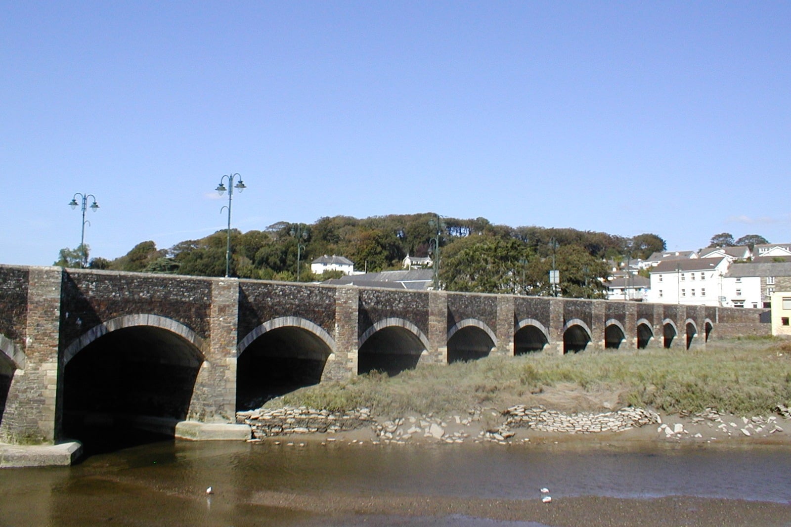
An old railway line beside the Camel estuary takes the trail from Padstow up the wooded valley towards Bodmin Moor. It has three sections: Padstow to Wadebridge (5.5 miles), Wadebridge to Bodmin (5.75 miles) and Bodmin to Wenfordbridge (6.25 miles).
Cycling UK puts the trail's use at about 350,000 cyclists a year, so summer weekends are busy. For a short ride with children, Wadebridge to Padstow and back is about 11 miles on the flat.
Full guide: Cycling in Cornwall
2. New Forest, Hampshire
Distance: more than 100 miles of waymarked cycle routes, a network
Typical days: day rides
Traffic-free: mostly, on gravel forest tracks, with some quiet lanes
Highest point: about 125 m
Start and finish: Brockenhurst, Ashurst New Forest and Sway stations on the network
Bike: hybrid or gravel bike; e-bikes must meet the UK's legal e-bike (EAPC) rules
Best for: flexible day rides among free-roaming ponies
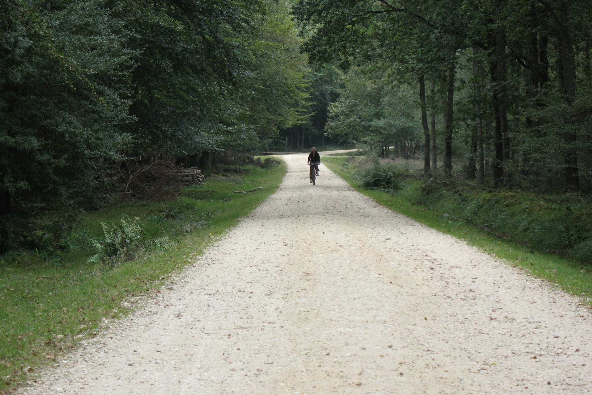
In the New Forest, you may only ride off-road on the waymarked routes, which are marked with numbered wooden posts. Ponies, cattle and other animals roam freely across the tracks and most of the roads.
The cycle network starts close to the stations at Brockenhurst, Ashurst and Sway, so you can arrive by train with your own bike. Forestry England asks riders to be ready to stop quickly for animals, walkers and horse riders.
3. Downs Link, Surrey and Sussex
Distance: 37 miles (59 km), St Martha's Hill near Guildford to Shoreham-by-Sea
Typical days: 1
Traffic-free: almost all, on two old railway lines
Highest point: about 130 m, at the northern end below St Martha's Hill
Start and finish: Chilworth station, about a mile from the start, to Shoreham-by-Sea station; Christ's Hospital station on the way
Bike: hybrid or gravel bike
Best for: linking the North Downs and the South Downs on a flat day
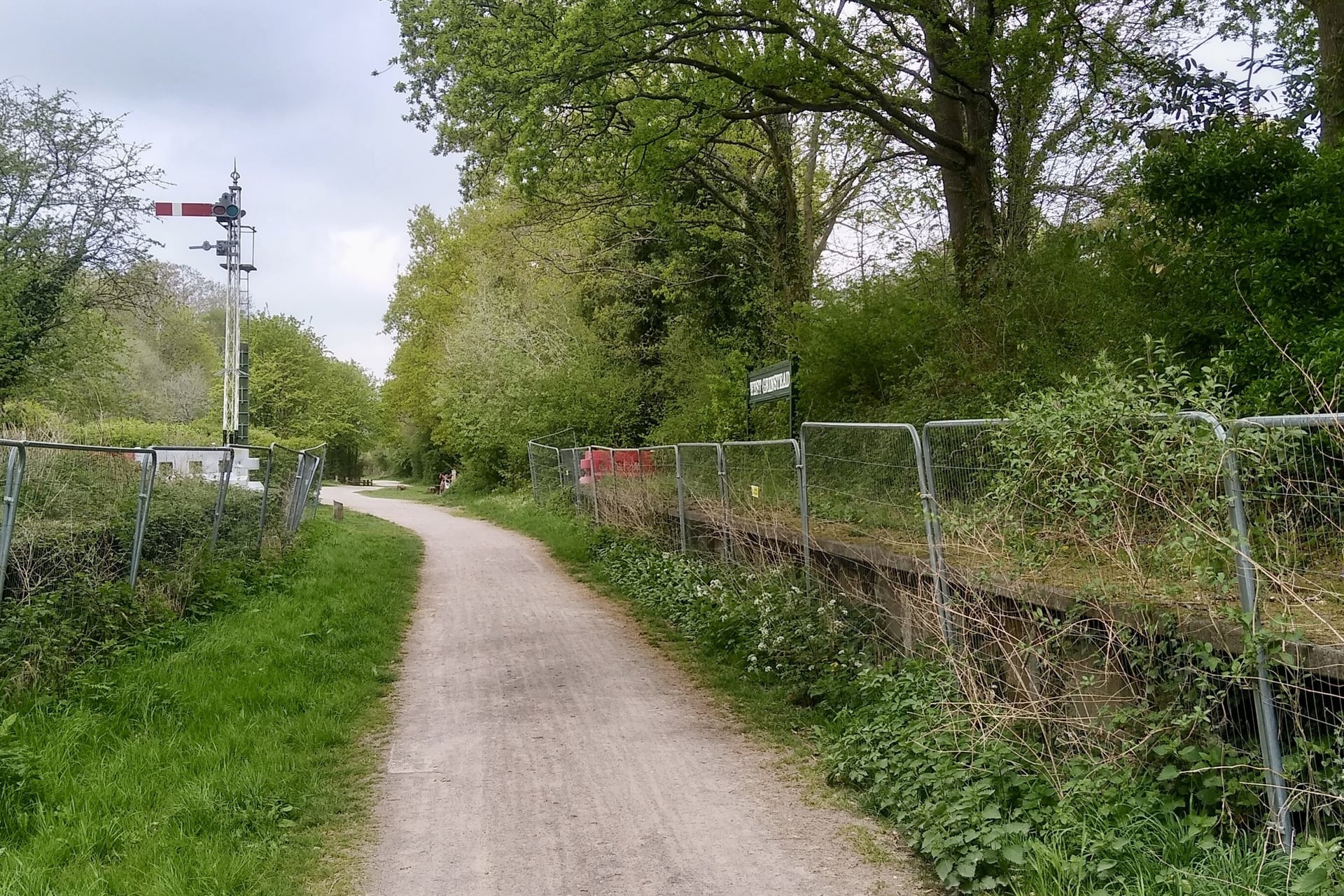
Two railway lines that closed in the 1960s carry the Downs Link from the North Downs Way in Surrey across the Low Weald to the coast. Since the trains went, the cuttings and embankments have become a green corridor, almost level and away from traffic.
Near the southern end the trail passes Bramber Castle, where one 14-metre wall of the Norman tower still stands. It then meets the South Downs Way, so you can link the two Downs trails into a longer trip, and ends beside the River Adur at Shoreham-by-Sea.
How Hard Are UK Cycling Routes?
Effort on UK routes comes from short, steep hills and from the weather more than from altitude: none of these routes goes above 626 m.
Hills and Gradients
The steepest roads are in the Highlands, the Pennines and mid-Wales. The Bealach na Bà reaches gradients of 20%, and the C2C has four big climbs in 20 miles between Langwathby and Allenheads.
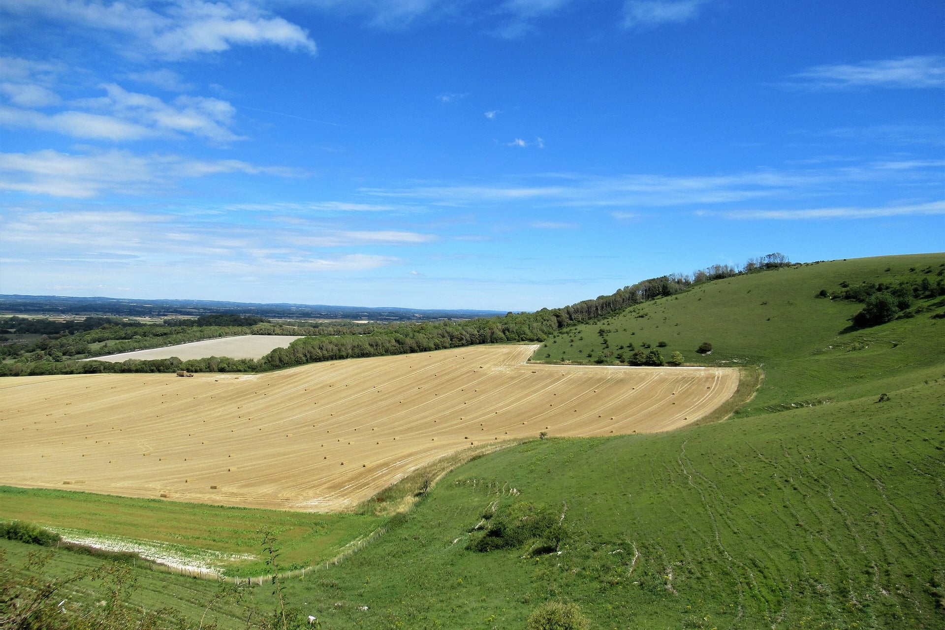
The south has no long climbs, but the chalk downs, the Cotswold edge and Cornwall's river valleys have many short, steep ones. On a loaded bike, low gears matter more than fitness. The three traffic-free trails above are almost level.
Traffic and the Highway Code
Most of these routes use quiet lanes, and the Highway Code gives cyclists clear protection on them. Since 2022 its hierarchy of road users puts more responsibility on drivers, who can do the most harm.
Passing distance: drivers should leave at least 1.5 m when overtaking a cyclist at up to 30 mph, and more at higher speeds (Rule 163)
Lights: white front and red rear lights and a red rear reflector are required at night (Rule 60)
Riding side by side: two abreast is allowed; move into single file to let traffic pass when it is safe (Rule 66)
Helmets: recommended, not required by law (Rule 59)
Single-track roads: pull into a passing place on your left, or wait opposite one on your right, to let cars by
Waymarking and Navigation
National Cycle Network routes carry blue signs with the route number, and National Trails such as the South Downs Way are marked with an acorn. Bridleways are marked with blue arrows, and footpaths, where you may not ride, with yellow ones.
Signs go missing in towns and on moorland, so carry the route's GPX file and an offline map. Walk Wheel Cycle Trust publishes free GPX files for its routes, and phone signal is patchy in the north-west Highlands and mid-Wales.
Best Time to Cycle in the UK
The riding season runs from April to October, and the further north you go, the longer the summer days and the shorter the season.

April and May: quiet roads and fresh green lanes; by mid-May Inverness has about 16.5 hours of daylight and Penzance 15.5
June: the longest days, about 18 hours of daylight in Inverness and 16.5 in Penzance at midsummer; Highland midges bite on still evenings from June to August
July and August: the warmest and busiest months, when beds on the North Coast 500 and Isle of Wight ferries need booking early
September: quieter roads and settled weather, with about 13 hours of daylight in mid-September
October to March: short, wet days, with under 7 hours of daylight in Inverness in December; chalk and forest tracks turn to mud
For most riders, May, June and September are the best months, with long days and fewer people than in the school holidays.
Know Before You Arrive
Most UK cycling trips start and end with a train ride, and the rest of the planning is about beds, costs and rain gear.
Taking a Bike on UK Trains
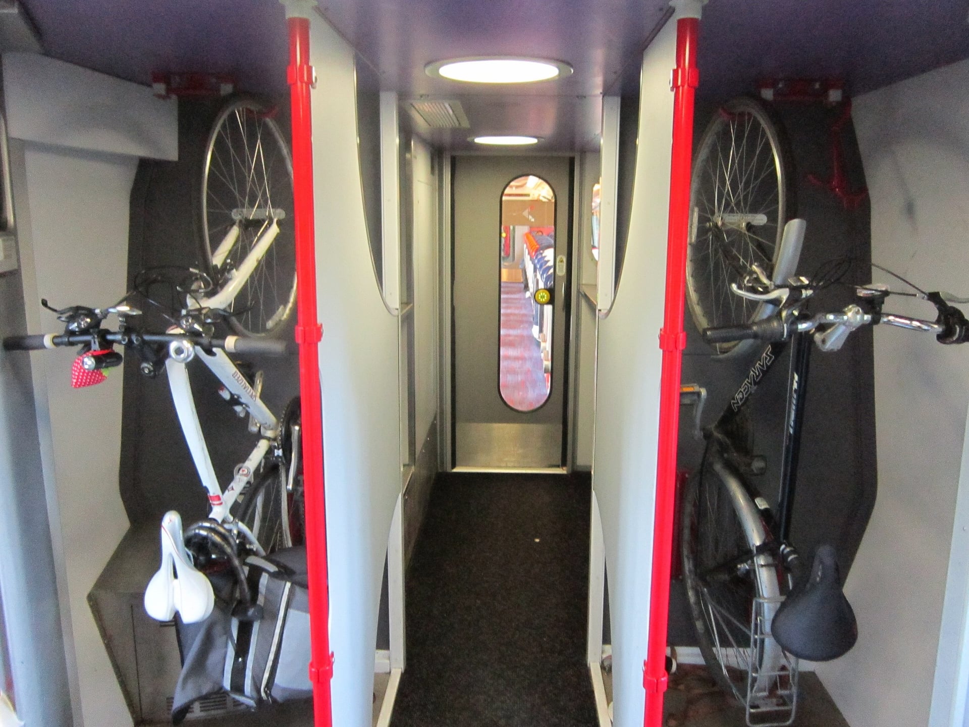
Bikes travel free on almost all UK trains, but space is tight: many regional trains carry only two to six bikes. Long-distance trains need a free reservation, so book the bike when you book your seat.
Train company | Main stations for these routes | Bikes |
ScotRail | Inverness, Oban, Fort William | Free; reservation needed on Highland routes |
Northern | Whitehaven, Ravenglass, Carlisle, Hexham | Free, no booking, first come, first served |
Avanti West Coast | Penrith, Carlisle | Free; reservation required |
LNER | Newcastle, Edinburgh, London | Free; reservation required |
Transport for Wales | Holyhead, Machynlleth, Cardiff | Free, first come, first served; no tandems |
GWR | Oxford, Reading, Penzance, Bodmin Parkway | Free; reserve whenever you can |
Folding bikes travel free on every operator as luggage. E-bikes with a motor of up to 250 watts that stops assisting above 15.5 mph are allowed on most trains, but you may not charge them on board.
Where to Sleep
The routes pass B&Bs, inns, hotels and youth hostels, and the beds are thinnest in the Highlands, the North Pennines and mid-Wales. Book the remote nights first, months ahead for July and August.
Hostels: YHA The Sill at Once Brewed, half a mile from Hadrian's Cycleway, has 86 beds, a cycle store and evening meals. Achmelvich Beach Youth Hostel, just off the North Coast 500 near Lochinver, opens from April to September
B&Bs and inns: the usual choice in small villages, often with a shed or garage for bikes
Wild camping: legal in Scotland under the Scottish Outdoor Access Code, for small groups and two or three nights in one place; in England and Wales you need the landowner's permission
How Much Does It Cost?
Riding the routes is free: there are no tolls on the National Cycle Network and no entry fees for national parks. Your money goes on beds, meals, ferries and the sights along the way.
Trains: bikes travel free, and reservations cost nothing
Isle of Wight ferry: Wightlink foot-passenger day returns start at £28.20, with the bike free
Housesteads Roman Fort: £11.90 for an adult booked online, on Hadrian's Cycleway
Eden Project: £35.50 for an adult booked online, on the Cornish Way
What to Pack
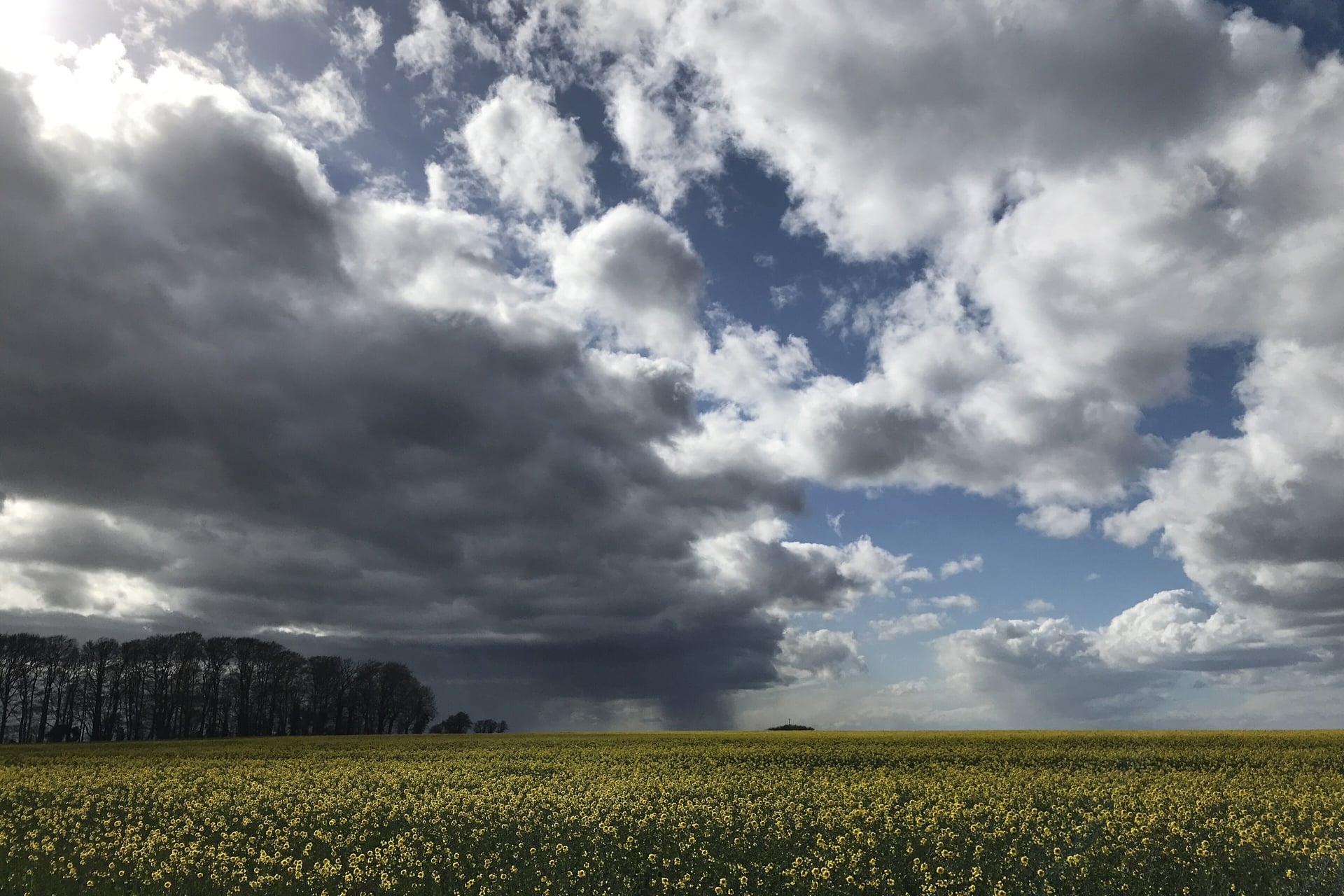
British weather can turn wet and windy within an hour, especially on the moors, so pack for rain in every month.
For any multi-day ride:
Waterproof jacket, a warm layer and full-finger gloves
Front and rear lights and a red rear reflector, which the law requires after dark
Two spare tubes, a pump and a multi-tool, because bike shops are far apart in the hills
Phone with the GPX file, a power bank and two water bottles
For these routes:
Low gears for the North Coast 500, the C2C and Lôn Las Cymru
Tyres of 32 mm or wider for towpaths and old railway paths, and wider gravel tyres for the South Downs Way and King Alfred's Way
Midge repellent for the Scottish routes from June to August
A lock for the forts, castles and cafés along the way
Can You Ride These Routes Without Carrying Your Bags?
Yes, and it makes the most difference on the long routes. On the C2C, Hadrian's Cycleway and the North Coast 500, the beds in the hill villages fill early in summer. On climbs such as Hartside or the Bealach na Bà, a loaded bike is hard work.
A self-guided tour deals with both: the nights are booked before you leave, and a van moves your bags while you ride. Our self-guided tours on three of these routes work that way:
C2C: The Cyclist's Coast to Coast (C2C), 6 days / 4 riding days, Whitehaven to Tynemouth, April to October
Hadrian's Cycleway: Hadrian's Cycleway Bike Tour, 7 days / 5 riding days, Whitehaven to Tynemouth, April to September
North Coast 500: North Coast 500 Road Cycling, 10 days / 8 riding days, a loop from Inverness, May to September
Each tour includes the nights in 3-star hotels with breakfast, daily luggage transfers, a GPS app, a digital guidebook and support while you ride. Ask us about dates for next season. The full list of our UK tours has more routes in England and Scotland.
The C2C crosses England from coast to coast in four riding days, which makes it the easiest of these routes to fit into a single week away.
Frequently Asked Questions



Plan with a cycling expert
Free advice from a team that knows these routes inside out - real people, not a bot

Hassle-Free
We take care of route planning, accommodations, luggage transfers, and all logistics, so you can focus purely on enjoying your ride.

Tried & Tested Adventures
Our cycling routes are hand-picked & tested, to ensure breathtaking landscapes, smooth roads, and maximum safety - giving you the perfect ride every day.

Unbeatable Support
Our 24/7 customer support is where we show our passion, ensuring your cycling holiday runs smoothly and your well-being is always our top priority.

Book with Confidence
We are a financially protected company, fully bonded and insured, keeping your money safe and allowing you to travel with confidence.