Isle of Wight Cycle Routes: The 5 Best Loops and Trails
Five Isle of Wight cycle routes, from the 64.5-mile Round the Island loop to the traffic-free Red Squirrel Trail, with the hills and every ferry's bike rules.
Quick links
Don't want to read all this?
We've planned 800+ cycling trips. Send your dates, fitness and group size — we'll map the route and book every night.


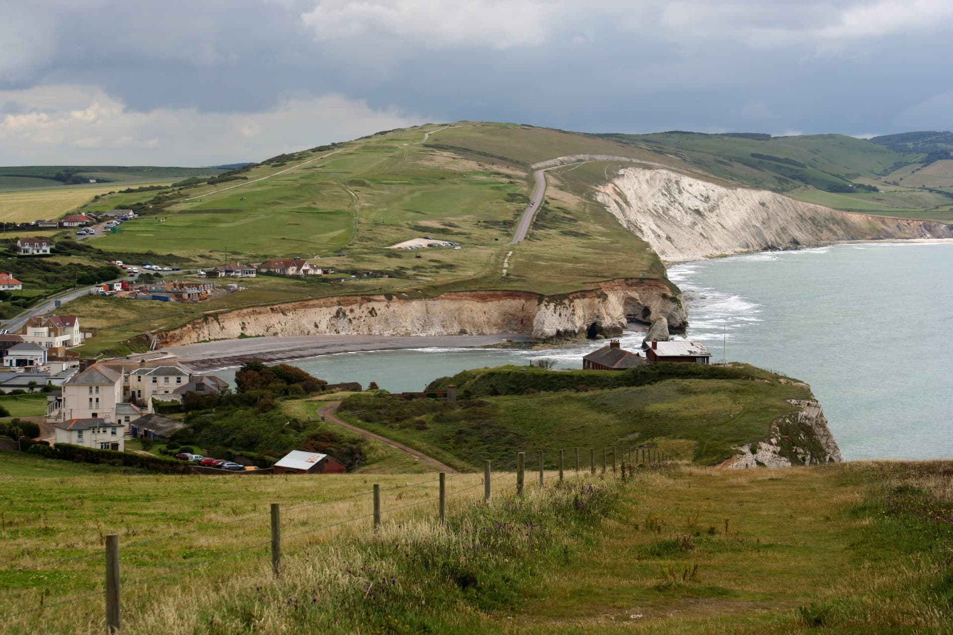
On the Isle of Wight you can ride from the chalk stacks of the Needles to Queen Victoria's seaside home at Osborne in a day, with the sea in sight for much of the way. Nobody drives across the island to get somewhere else, so the lanes stay quiet.
The island has around 200 miles of cycle tracks, byways and bridleways. Nearly half of it is protected landscape, and since 2019 the whole island has been a UNESCO Biosphere Reserve.
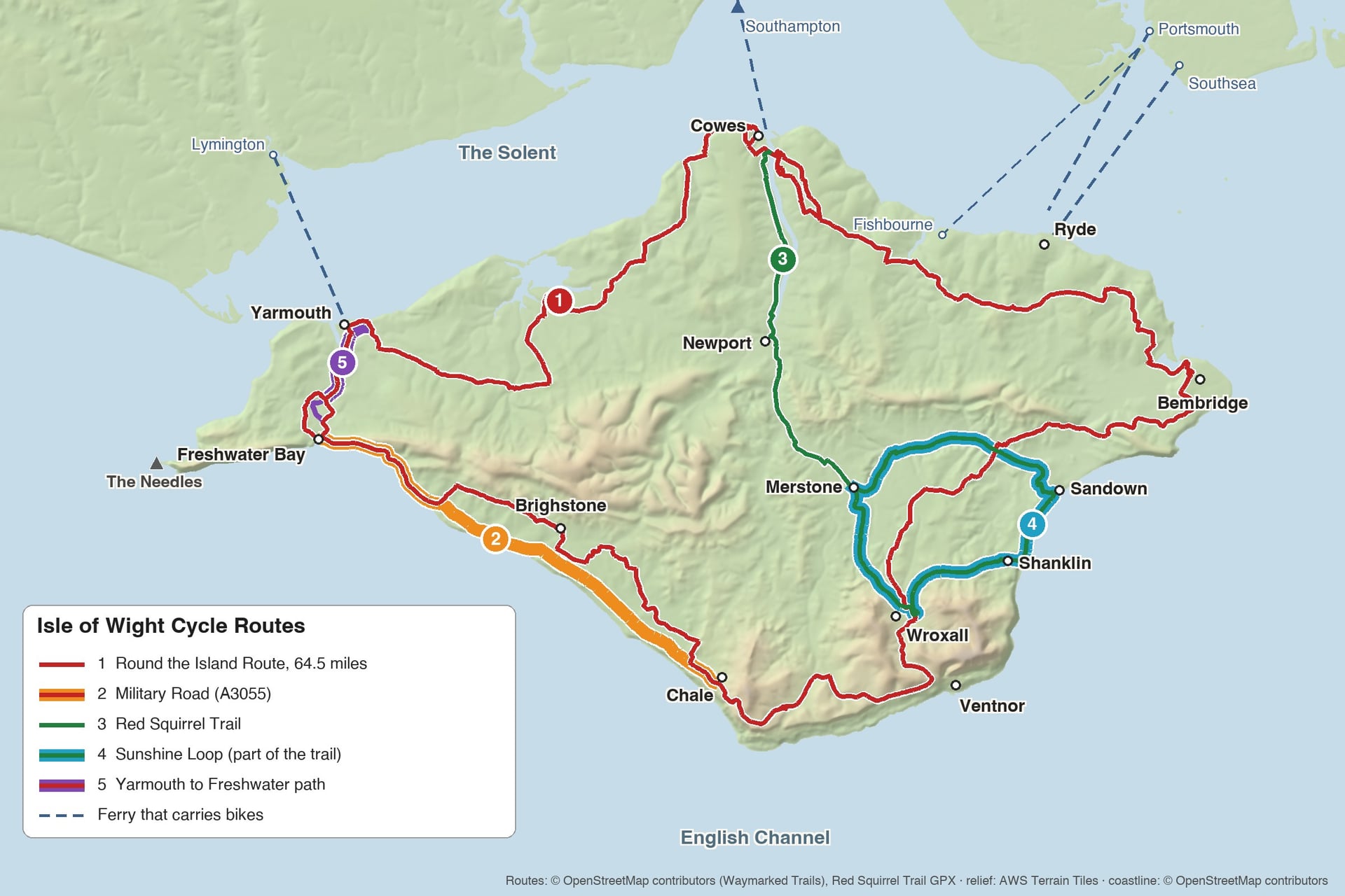
The five routes follow the numbers on the map. A fit rider can finish the signed loop in one long day, while the two railway trails suit a family afternoon. For longer rides on the mainland, see our UK cycling routes.
The Best Isle of Wight Cycle Routes
The island's lanes climb over chalk downs and drop to harbours, while its old railway lines give the flattest riding. Routes 1 and 2 use roads, and routes 3 to 5 are mostly traffic-free paths.
1. Round the Island Route
Distance: 64.5 miles (103.8 km), a loop
Elevation gain: about 1,380 m
Surface and traffic: 93% asphalt, mostly quiet lanes; 3% traffic-free path
Start and finish: anywhere on the loop; Cowes and Yarmouth are the closest ferry ports
Best bike: road bike with wider tyres, hybrid or e-bike
Best for: fit riders with a full day, or an easy two or three days
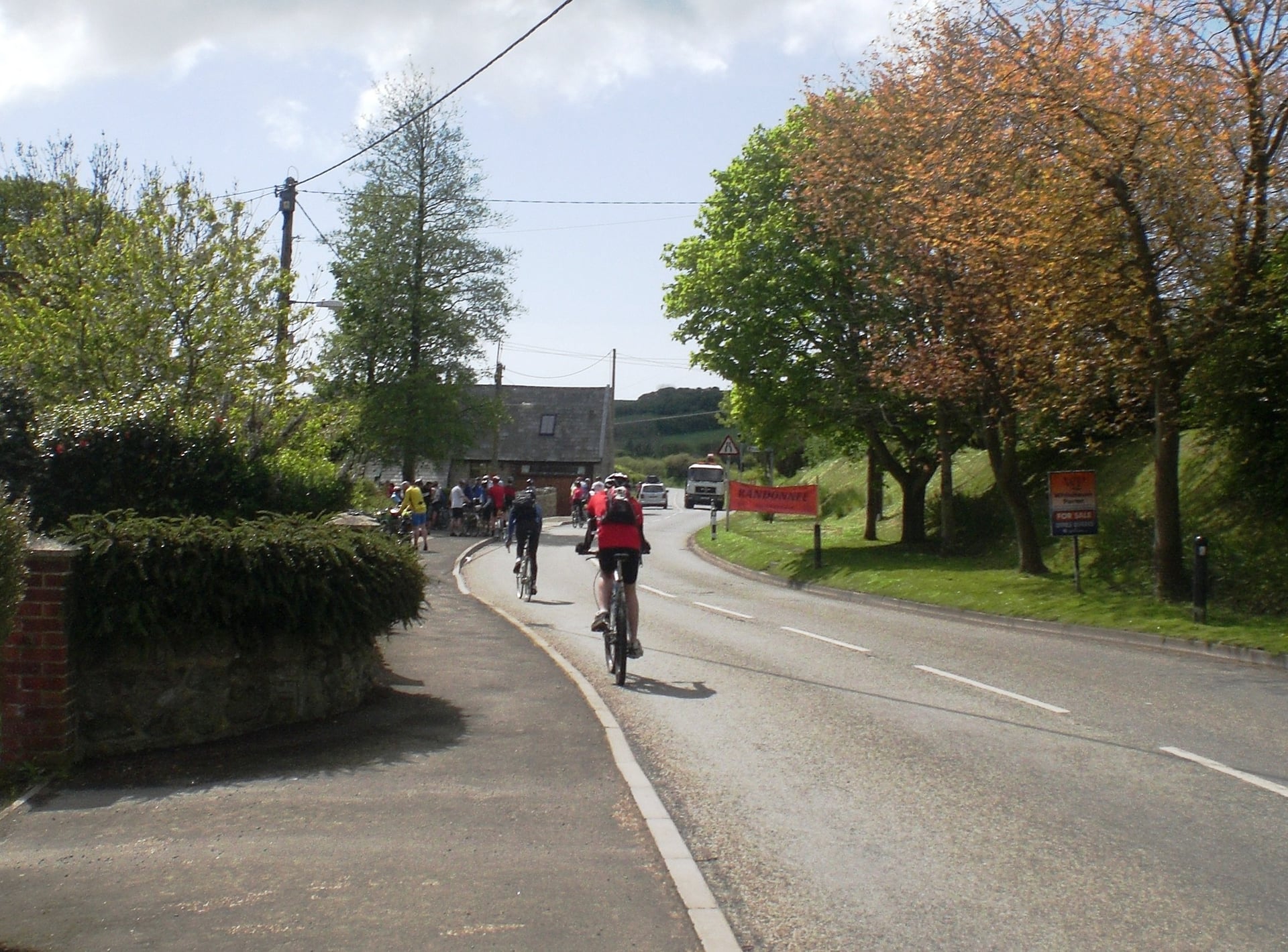
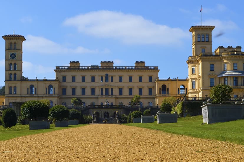
Along the way the loop passes the gates of Osborne House, the creek at Newtown and the harbours of Yarmouth and Bembridge, but the signed line stays further inland than its name suggests. It passes 2 to 3 km from Sandown and Shanklin, runs along the hillside above Ventnor and crosses the farmland around Brighstone.
From Ryde, you join the loop 2 to 3 miles away at Nettlestone or Wootton. Blue-and-white signs mark it in both directions: blue signs with a white island shape lead anticlockwise, and white signs with a blue island shape lead clockwise.
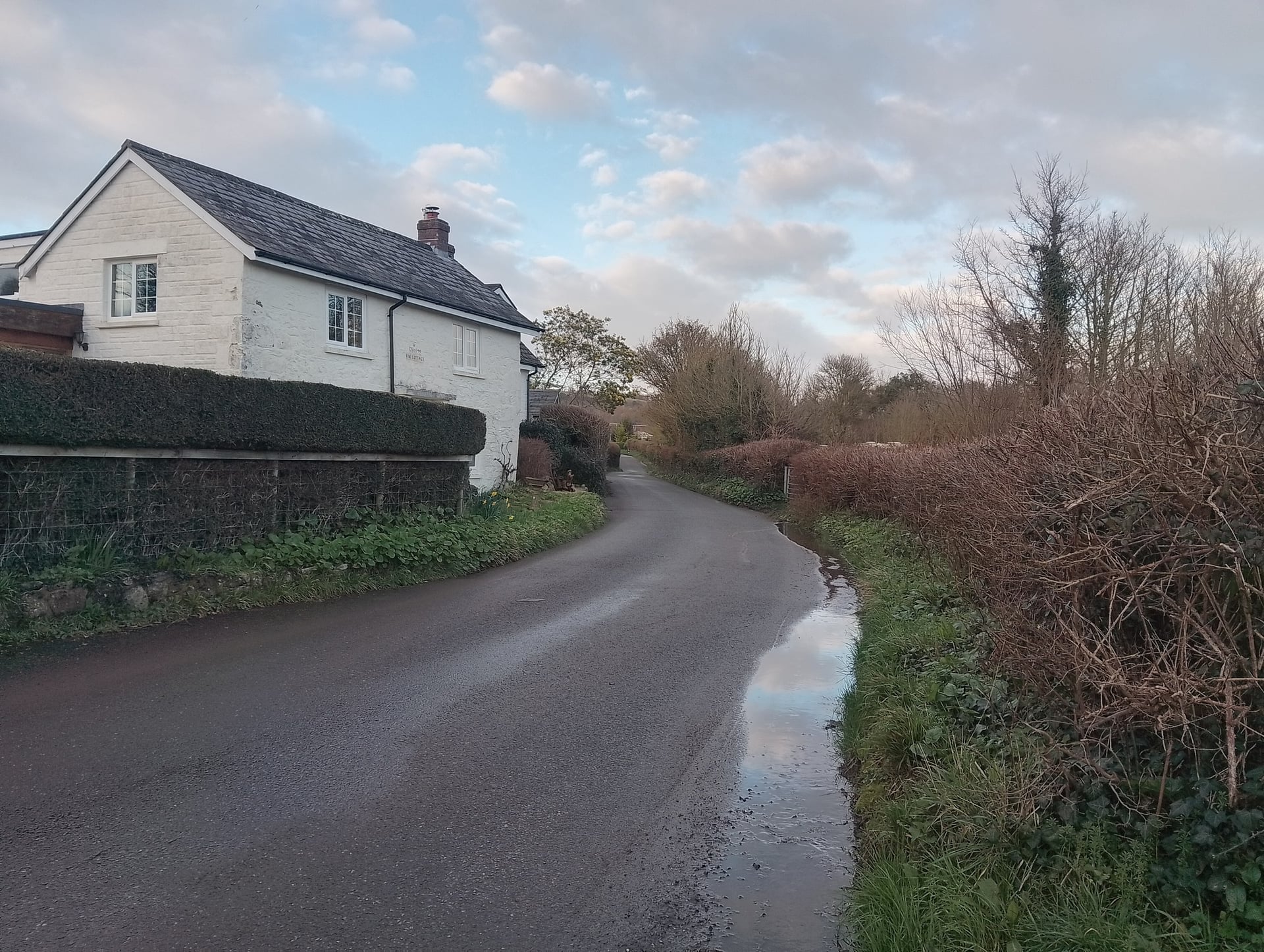
The Isle of Wight Randonnée, a mass ride held since 1985, has followed the loop clockwise since 2013. Anticlockwise, you climb about 100 m out of Chale in under 2 km, and about 70 m up Afton Down from Freshwater Bay. Clockwise, the high point comes after a 75 m climb from Niton.
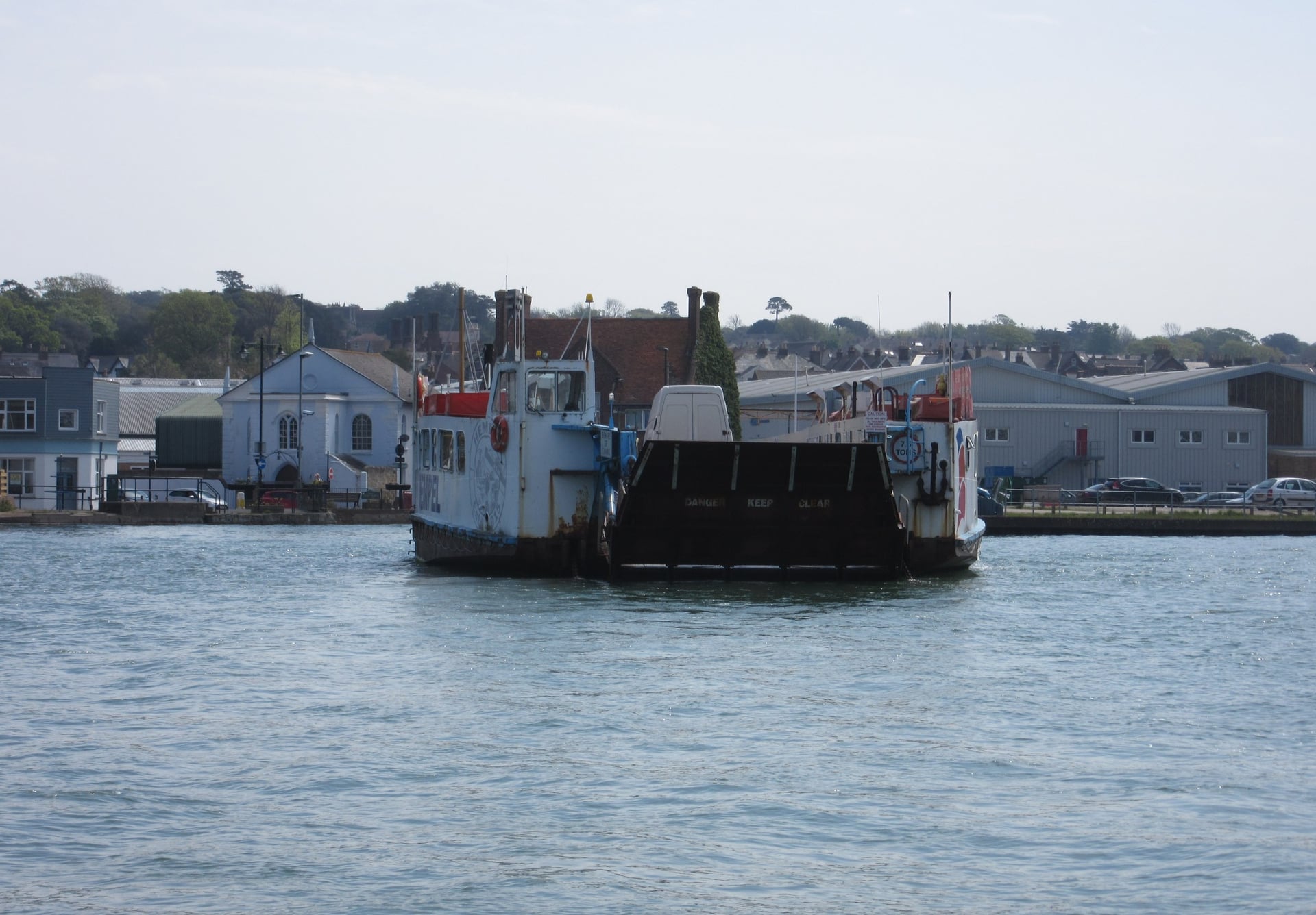
In Cowes the loop crosses the River Medina on the Floating Bridge, a chain ferry that saves an 11-mile detour through Newport. It runs from 5am (6:30am on Sundays) until after midnight. Walk your bike through Cowes High Street, which is pedestrianised.
Walk Wheel Cycle Trust, the charity behind the National Cycle Network, puts the riding time at 5 hours 25 minutes. With stops, most riders need a full day of daylight.
Over three days, ridden clockwise from Cowes, the loop splits into 27, 22 and 15 miles, with nights in Ventnor and Yarmouth. Starting at Cowes or Yarmouth also saves the ride from the ferry to the loop, and both towns have bike hire.
2. The Military Road
Distance: about 10 miles (16.5 km) one way, Freshwater Bay to Chale
Elevation gain: about 230 m west to east, 150 m the other way
Surface and traffic: asphalt; the A3055 is a main road with no cycle lane
Start and finish: Freshwater Bay or Chale
Best bike: road bike or e-bike
Best for: sea views on a calm day
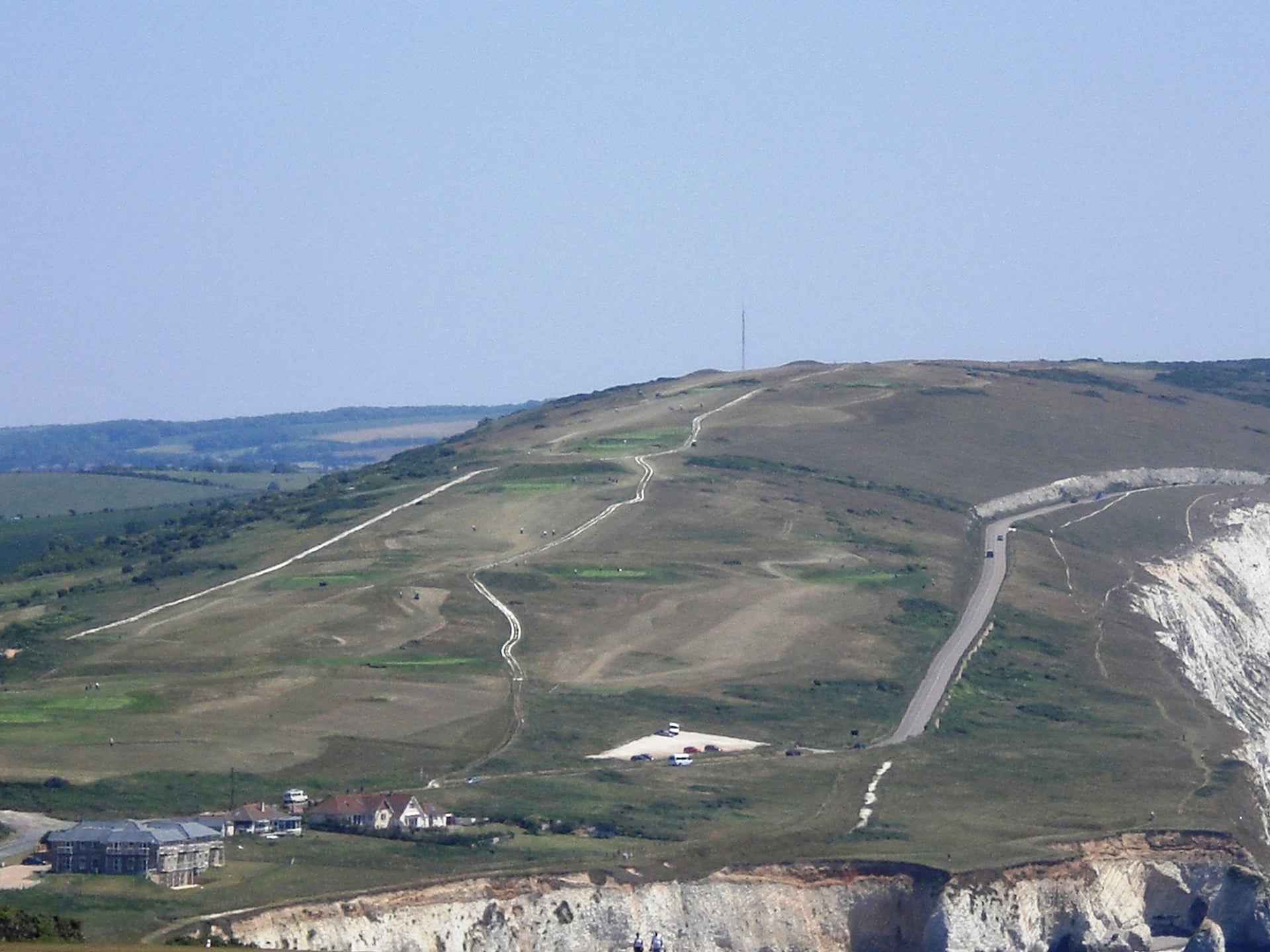
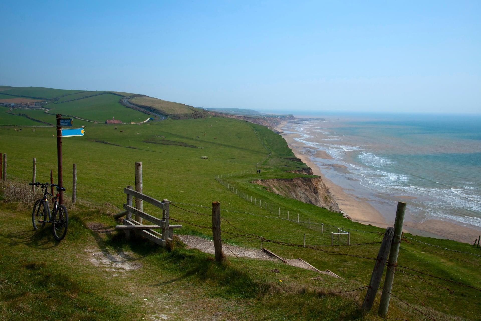
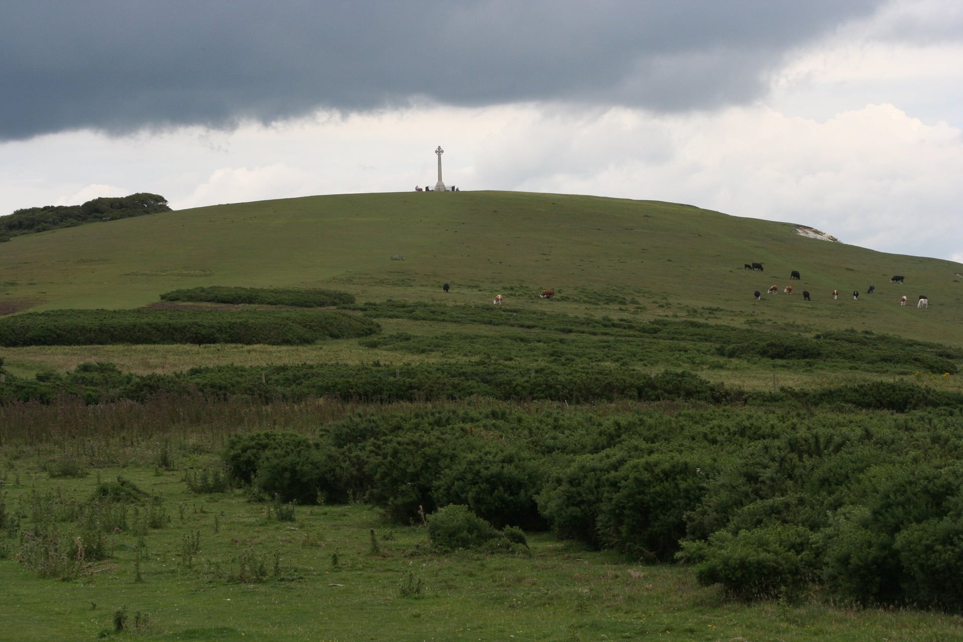
Running along the cliff tops from Freshwater Bay to Chale, the A3055 has the sea beside it the whole way. From Afton Down you look back over Freshwater Bay to the white cliffs of Tennyson Down, and ahead the coast curves away for 10 miles towards Chale.
Fill your bottles before you start, because the road passes no village: Brook, Brighstone and Atherfield lie a short way inland.
The signed loop uses only the western end, 3 miles over Afton Down and Compton Down to Brook, before it turns inland. Staying on the A3055 from Brook to Chale is about 3 miles shorter than the signed line, and it keeps the sea in view.
Erosion is cutting into the cliffs below the road, and some sections are now less than 5 metres from the edge. The council closed the road on weekdays from 2 March to 17 April 2026 for improvement works, so check for closures before you set off on the Island Roads site.
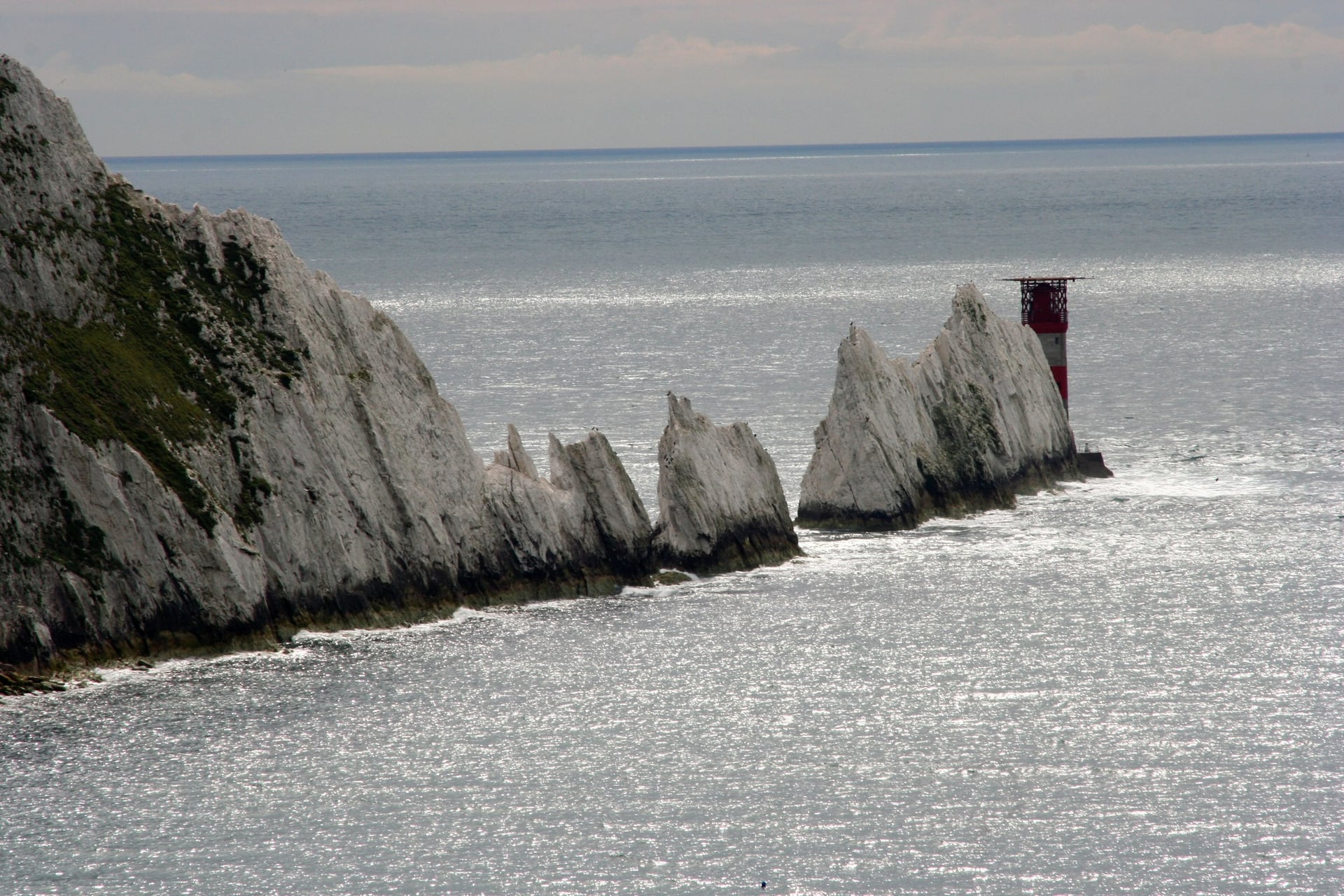
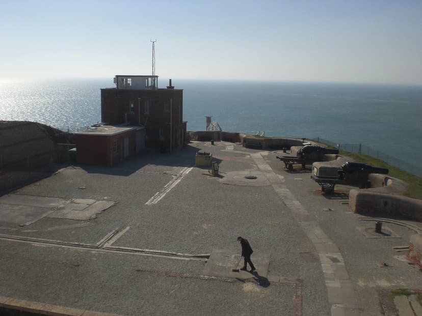
The Needles are a detour from the western end. From Freshwater Bay it is 3.6 miles by road to Alum Bay, where a ¾-mile tarmac road closed to private cars climbs to the Old Battery above the chalk stacks. You can ride it, walk it or take the bus.
3. The Red Squirrel Trail
Distance: 32 miles from Cowes and back, including the southern loop (route 4)
Elevation gain: about 60 m from Cowes to Merstone
Surface and traffic: mostly old railway path, tarmac or fine gravel; short road sections in Newport, Sandown and Shanklin
Start and finish: East Cowes or Cowes; join anywhere
Best bike: hybrid or gravel bike
Best for: families and riders who want to avoid traffic
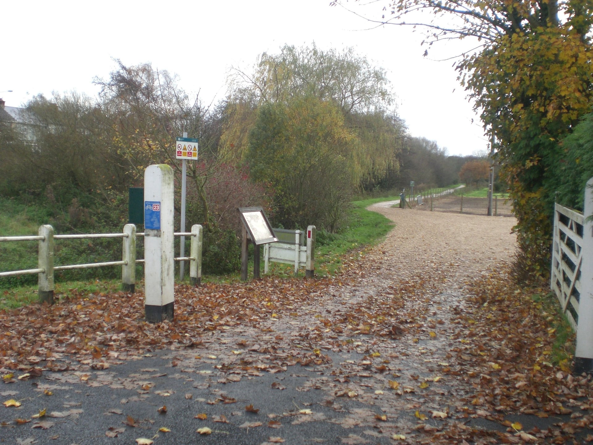
Named after the red squirrels that still live on the island, the Red Squirrel Trail links old railway lines into one ride from the north coast to Sandown Bay.
From East Cowes it crosses the Medina on the Floating Bridge, then follows the old Cowes to Newport railway for 4.5 miles beside the estuary. A former railway bridge carries it over Dodnor Creek, where oystercatchers and curlews feed on the mud.
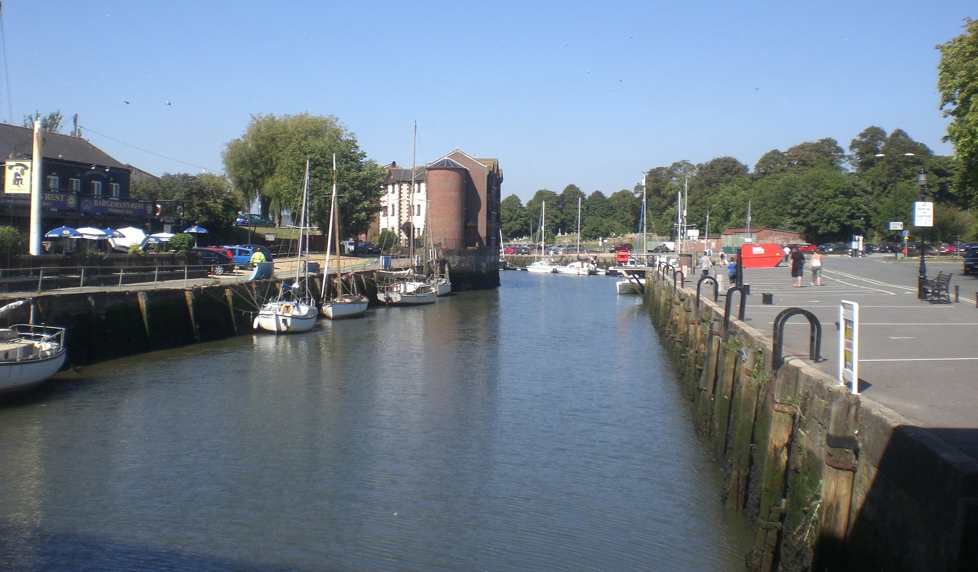
South of Newport, the old Newport to Sandown line gives 4 level miles to Merstone, where the island platform of the old station is now a wildflower meadow. The next 5.5 miles follow the East Yar river through the Arreton Valley and the wetlands to Sandown, where the trail meets the sea.
With about 60 m of climbing in the 8.5 miles from Cowes to Merstone, this is the easiest riding on the island. Pedallers Café at Newchurch, beside the trail, has a tool station and an e-bike charger, and Wight Cycle Hire in Newport delivers bikes anywhere on the island.
4. The Sunshine Loop
Distance: 14 miles as a loop from Shanklin or Sandown
Elevation gain: about 185 m
Surface and traffic: seafront promenade, railway path and a cross-field bridleway; short road sections in Shanklin and Wroxall
Start and finish: Shanklin or Sandown, both on the Island Line railway
Best bike: hybrid or gravel bike; mountain bike after rain
Best for: a family day with a beach at the end
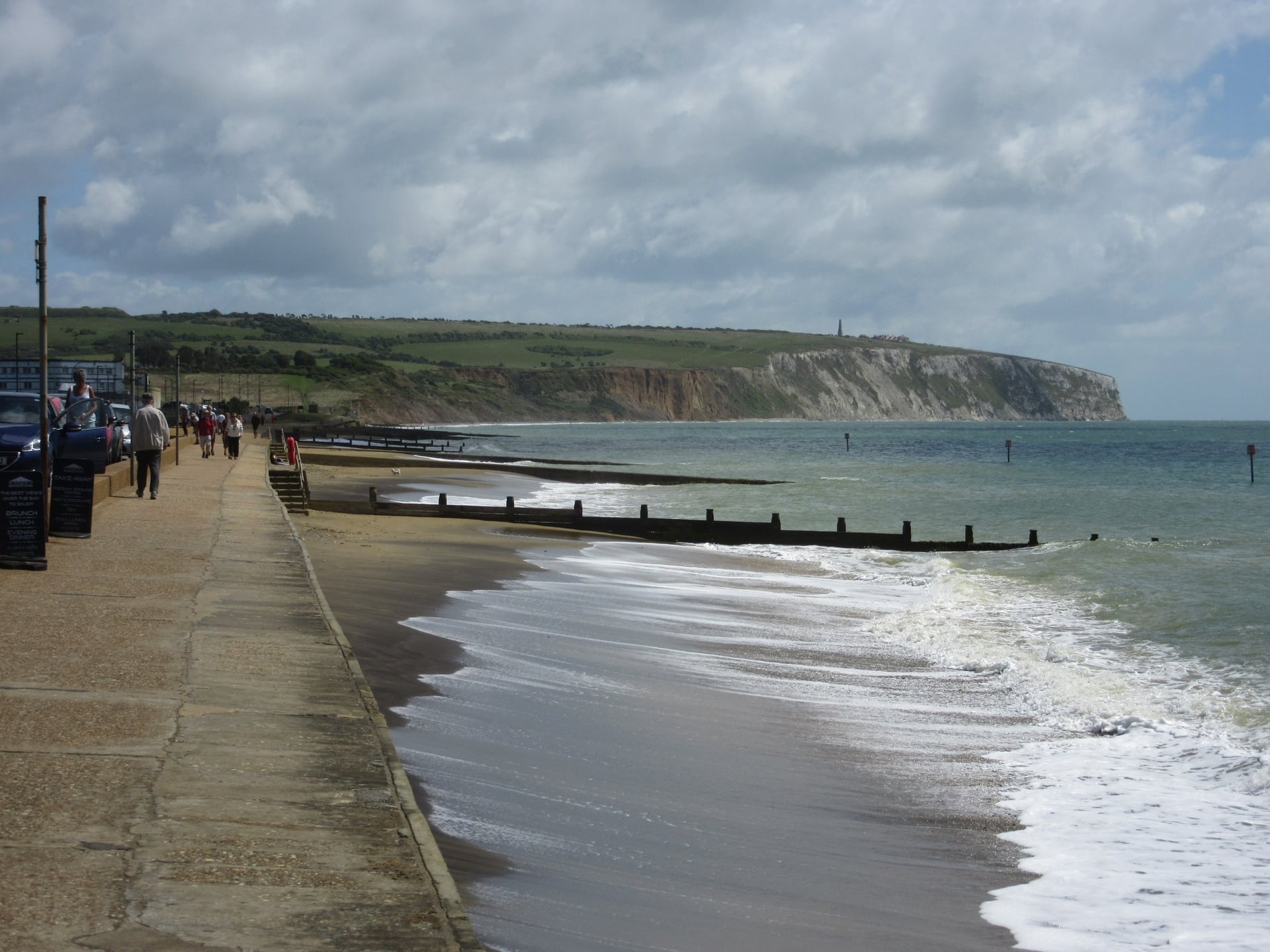
Once signed as the Sunshine Trail, this loop is now the southern end of the Red Squirrel Trail. The name fits: Shanklin averages 1,976 hours of sunshine a year. It suits children who are confident on a bike, since a few sections are steep or muddy.
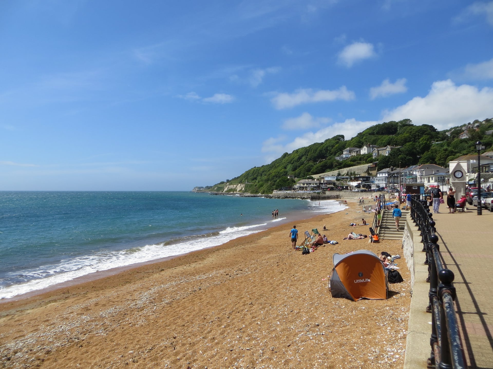
From Sandown the loop follows the traffic-free esplanade for just under 2 miles to Shanklin, below sandstone cliffs. A railway path, upgraded in 2014, then runs 2.3 miles from Shanklin to Wroxall. Route Fifty7 hires bikes in Shanklin, 300 yards from the station.
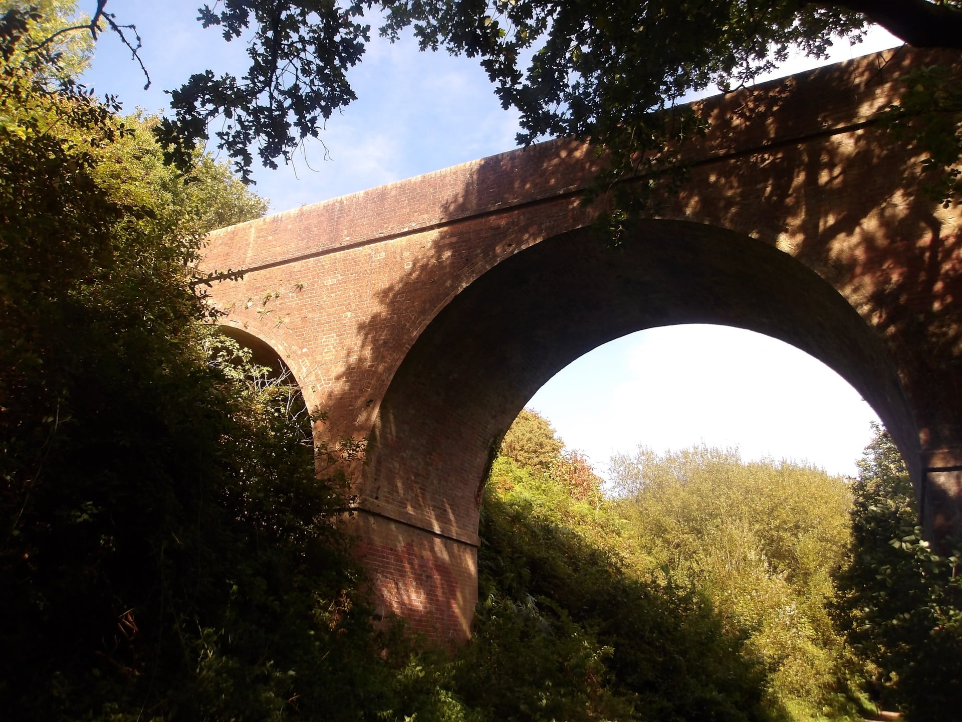
After Wroxall the loop gets hillier, and the bridleway across the Appuldurcombe estate turns muddy after rain. In wet weather, walk the gravel path past Appuldurcombe House or take Redhill Lane.
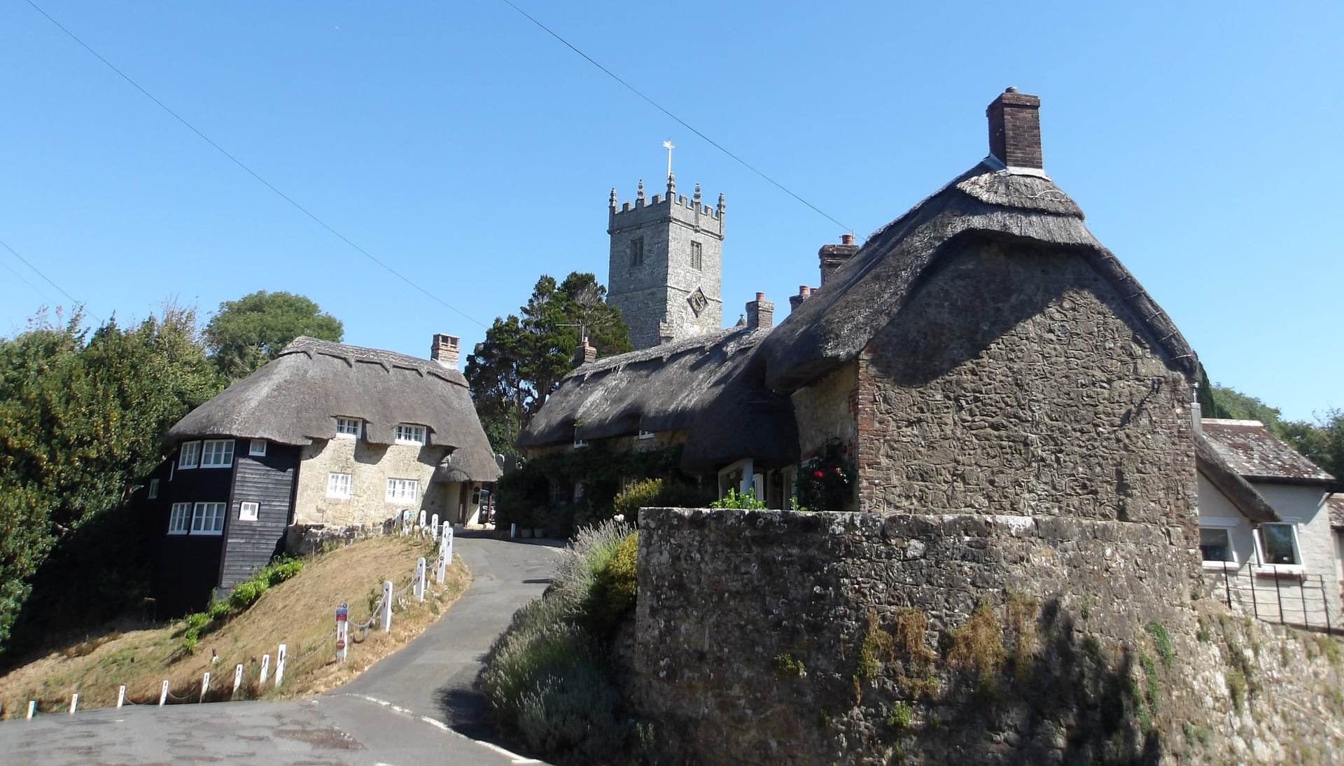
A surfaced track then drops towards Godshill, whose thatched cottages and medieval church are a short detour, and lanes lead back to the railway path near Merstone.
5. Yarmouth to Freshwater: The Yar Estuary Path
Distance: 2 miles each way on the old railway, 3 miles to Freshwater Bay
Elevation gain: almost none
Surface and traffic: compacted gravel, traffic-free to Freshwater Causeway, then a mile of road
Start and finish: Yarmouth or Freshwater Bay
Best bike: any bike, including a hire bike
Best for: young children and a first ride off the Lymington ferries
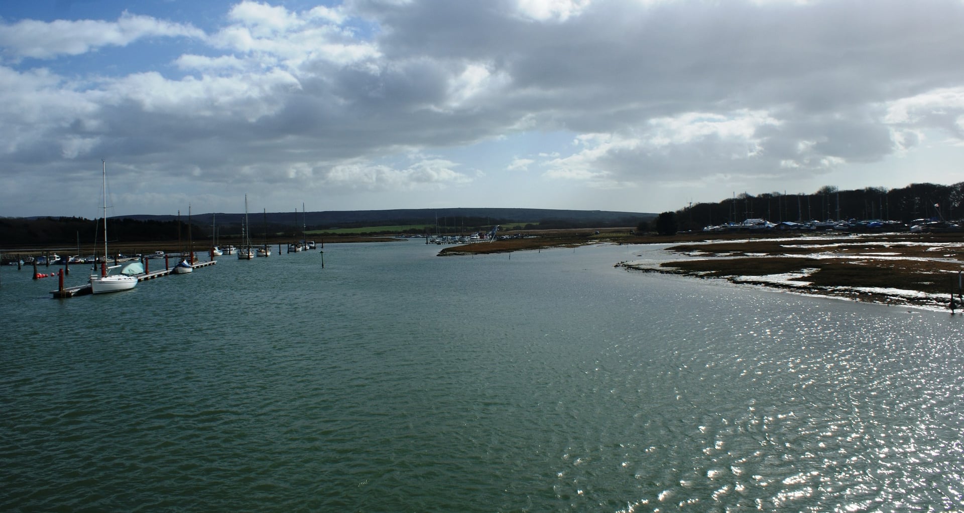
Yarmouth's old railway line runs south beside the estuary of the Western Yar to Freshwater, and it is flat all the way. The track is not tarmac but fairly smooth, and the water stays a safe distance from the path. At low tide there is very little water in the estuary at all.
Wight Cycle Hire has a shop at the Yarmouth end of the path, next door to the Off The Rails café. After 2 miles the path reaches Freshwater Causeway, where swans often gather, and a mile on the road takes you to Freshwater Bay, where the Military Road begins.
Yarmouth itself, with its castle, small pier and square, is worth an hour before you leave. The Round the Island Route uses the same path between Freshwater and Yarmouth. Because the Lymington ferries land in Yarmouth after 35 to 40 minutes, this is the easiest first ride on the island.
Places Worth a Stop on the Loop
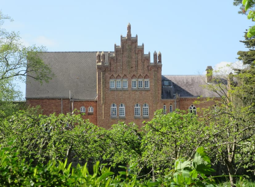
Osborne House and Quarr Abbey stand within about a mile of the Round the Island Route, and the Needles are the detour from Freshwater Bay described in route 2. They are listed clockwise from Cowes.
How Hard Is Cycling on the Isle of Wight?
No climb on the island is long, but the short ones keep coming, and the Channel wind can cost more effort than the hills.
Hills and the Highest Point
The Round the Island Route gains about 1,380 m, yet its highest point is only 172 m, on the A3055 between Niton and Blackgang. The climbing comes in short rises of 30 to 100 m out of creeks and valleys, and none of them lasts more than about 2 km.
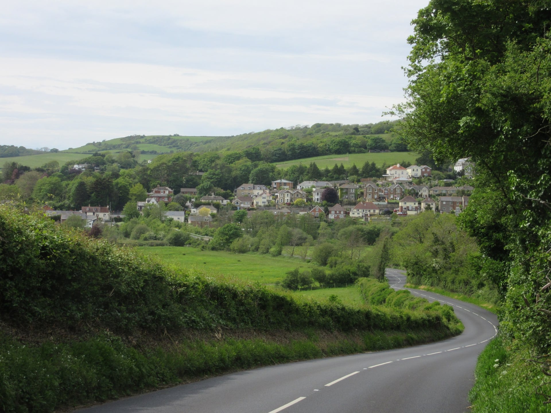
The east and south have the most of them: 57% of the climbing falls in the 31 miles from East Cowes to Niton. The flattest stretch is the farmland between Chale and Brook.
Wind, Traffic and Signs
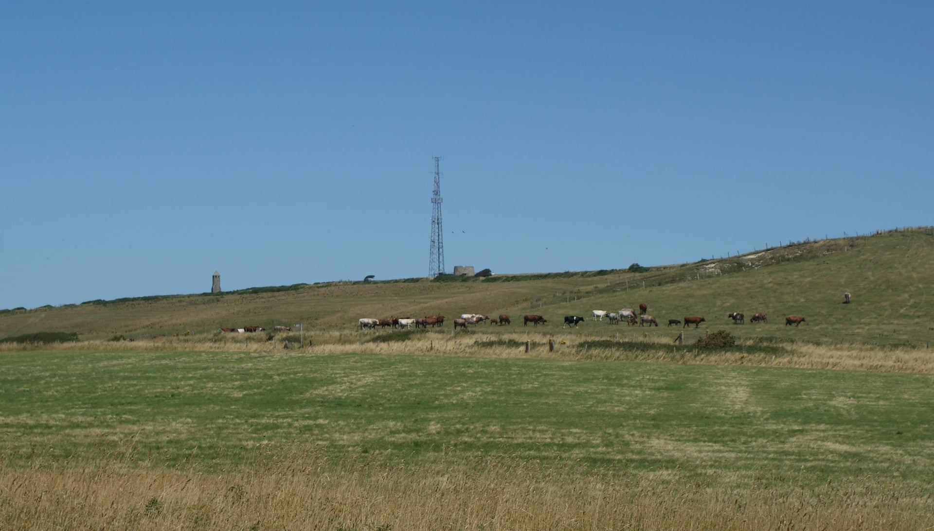
The Military Road and the downs above Niton and Ventnor have no shelter from the English Channel's south-westerly winds. In a strong wind the cliff road is the hardest part of the island, so ride it early or on a calm day.
Most of the loop uses quiet lanes, but you share nearly all of it with cars: only 3.1% is traffic-free. Expect more traffic around Newport, Cowes and Ryde, and on the A3055 in summer.
Follow the signs, but carry the route on your phone as well. The Red Squirrel Trail publishes GPX tracks and printable maps for each section.
Best Time to Cycle the Isle of Wight
Spring and early autumn bring quiet lanes and long days, while summer brings the regattas, the music festival and the school holidays. Figures are for Shanklin, on the south-east coast.
April and May: 12.9 and 15.9 °C by day, with 208 and 248 hours of sunshine, and about 15 and a half hours of daylight by mid-May.
June: 18.4 °C and 16 and a half hours of daylight at the solstice. The Isle of Wight Festival fills Newport and the ferries in mid-June (17 to 20 June in 2027).
July and August: the warmest months at 20.5 °C, and July is the sunniest, with 269 hours. Cowes Week, a sailing regatta first held in 1826, fills Cowes in early August (31 July to 8 August in 2026).
September: 18.5 °C and about 12 and a half hours of daylight by mid-month. The Randonnée moved from May to 6 September in 2026.
October: 15.2 °C and about 10 and a half hours of daylight by mid-month, but more than twice July's rain: 113 mm against 52 mm.
November to March: 8.4 to 11.7 °C by day, about 8 hours of daylight in December and the most rain, up to 119 mm a month.
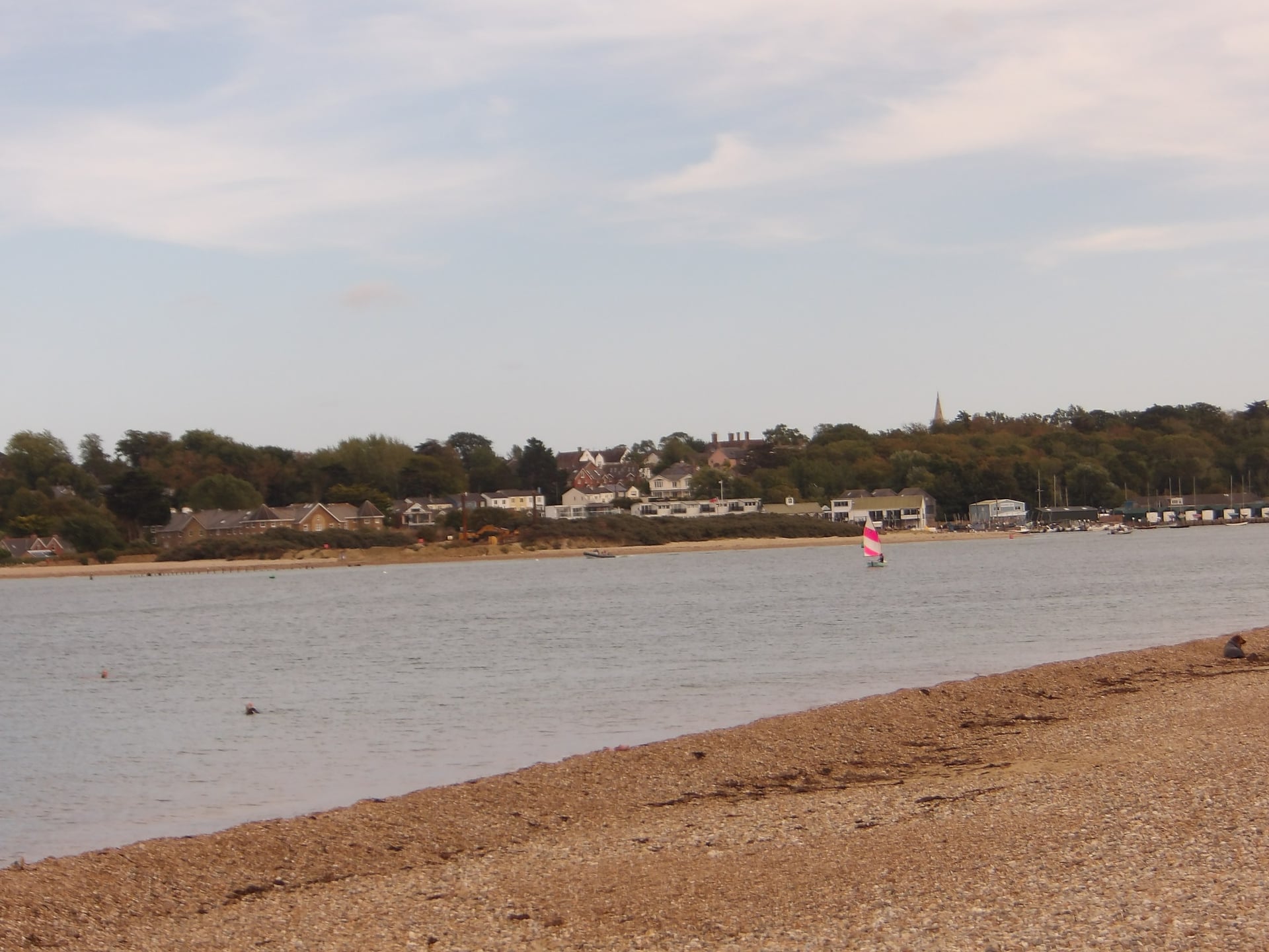
For most riders, May, June and September give the best mix of warm days, long light and quiet lanes. Book early for Cowes Week and the festival weekend.
Ferries to the Isle of Wight With a Bike
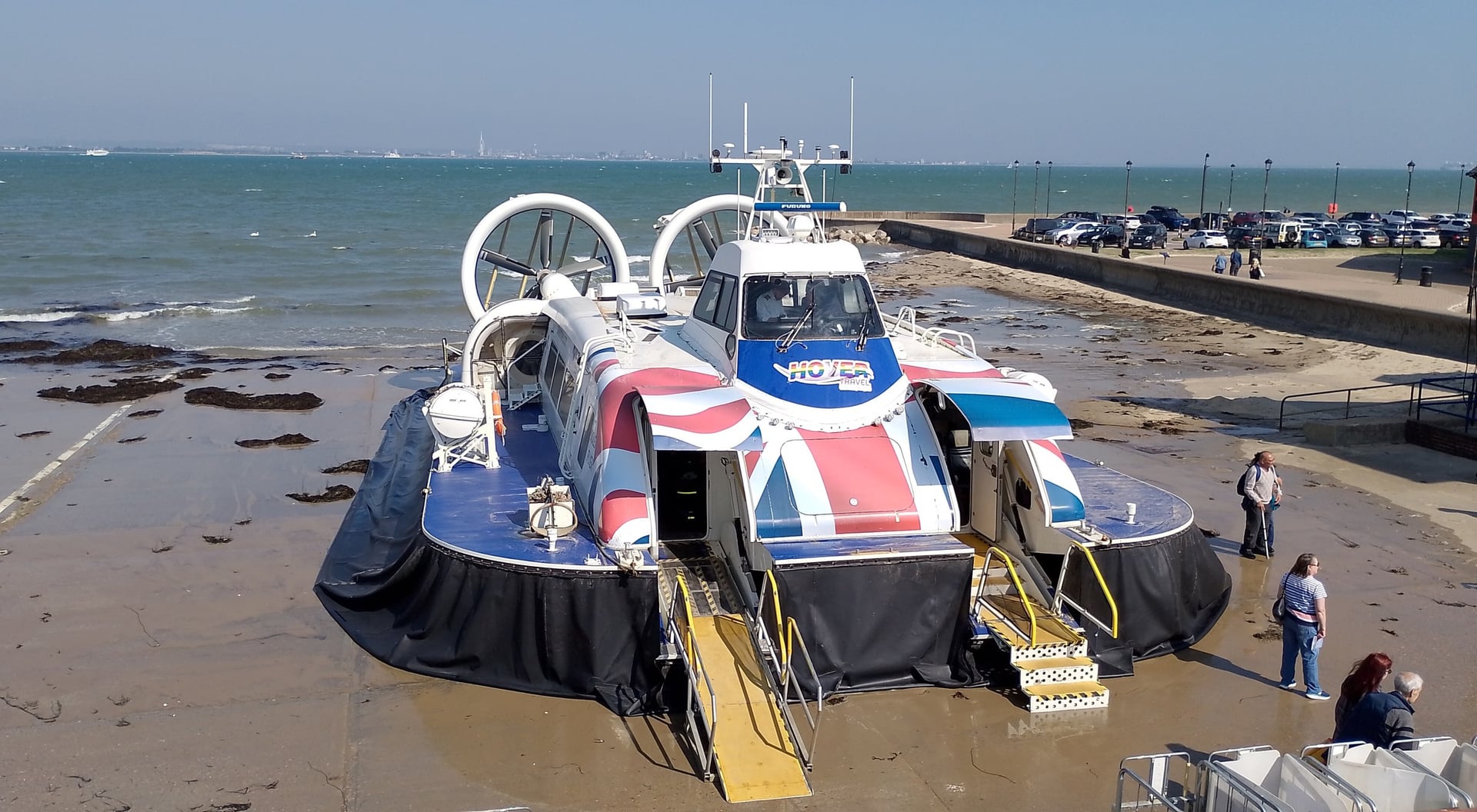
Hovertravel's hovercraft crosses from Southsea to Ryde in about 10 minutes, and it is the world's longest-running commercial hovercraft service. Every crossing to the island carries bikes free, but capacity and booking rules differ:
Crossing | Operator and boat | Time | Bikes | Best start for |
Lymington to Yarmouth | Wightlink car ferry | 40 min | Free with a foot ticket; book the bike | The west of the island |
Lymington to Yarmouth | Quay 2 Quay foot ferry Kraken | 35 min | Free, e-bikes too; add the bike when booking | The west of the island |
Southampton to West Cowes | Red Funnel Red Jet | 28 min | Free; 11 racks on Red Jet 6 and 7 only, first come, first served | Cowes and the Red Squirrel Trail |
Southampton to East Cowes | Red Funnel car ferry | 1 hour | Free; board through the lower car deck | East Cowes |
Portsmouth to Fishbourne | Wightlink car ferry | 45 min | Free with a foot ticket; bikes ride on the car deck | The loop at Wootton |
Portsmouth Harbour to Ryde Pier Head | Wightlink FastCat | 22 min | Free with a foot ticket; book, as rack space is limited | Ryde and the Island Line train |
Southsea to Ryde | Hovertravel hovercraft | 10 min | Free; up to four bikes, no booking, check in 5 minutes before | Ryde |
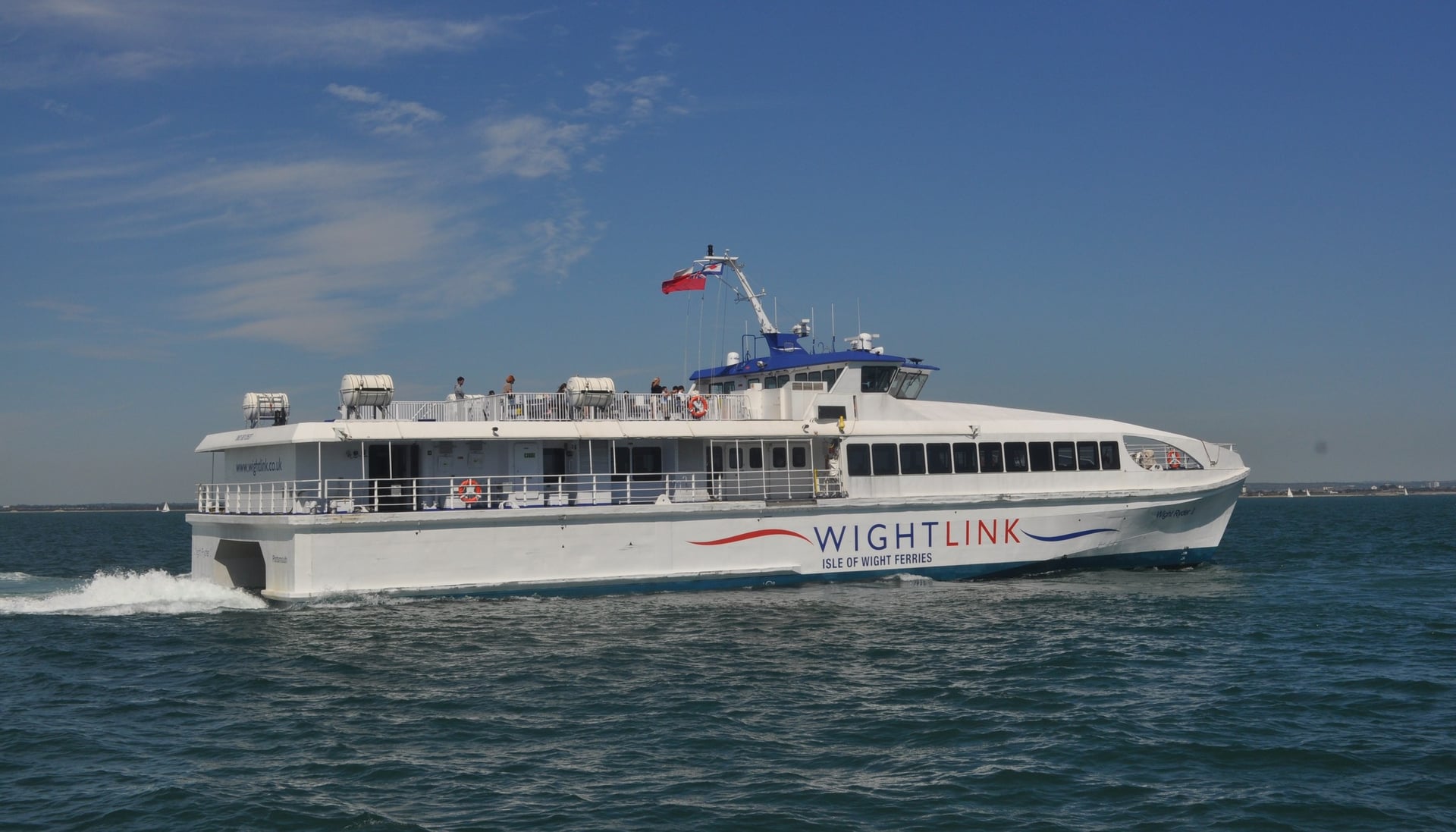
On Wightlink, book the bike when you book your own ticket: space is limited on all three routes, and tightest on the Ryde FastCats. If the fast boats are full, the car ferries to Fishbourne, East Cowes and Yarmouth carry bikes on the vehicle deck.
On the island, Island Line trains between Ryde Pier Head and Shanklin carry up to four bikes free, in the Shanklin end of the train.
Know Before You Arrive
Ferries run all year and every town on the loop has beds, so planning is mostly about timing.
Where to Stay and Bike Hire
Ventnor and Yarmouth split the loop into easy days, while Cowes, Ryde, Sandown and Shanklin have the most hotels. Book Cowes nights first in early August, when its regatta fills the town.
Look for the Wheel of Approval, Visit Isle of Wight's award for places that offer cyclists secure storage, washing facilities or tools. Bike hire is easy to find:
Wight Cycle Hire: Newport and Yarmouth, island-wide delivery
Route Fifty7: Shanklin, beside the Red Squirrel Trail, island-wide delivery
Isle Cycle: Sandown, island-wide delivery
TAV Cycles: Ryde
Two Elements and South Island Bike Hire: Cowes, island-wide delivery
How Much Does It Cost?
Riding the routes is free, and the crossing is the main cost; bikes travel free on every boat.
Adult return fares in 2026:
Wightlink car ferries, Lymington or Portsmouth: £39.40 off-peak (October to December 2026)
Wightlink FastCat, Portsmouth to Ryde: £40.40 off-peak
Red Funnel Red Jet: £40.80 for a standard period return; the car ferry to East Cowes costs £27.30
Hovertravel: £46.00 for a standard period return, or £41.40 booked 48 hours ahead
Floating Bridge: £1.00 for a single crossing on foot
What to Pack
The coast roads and downs have no shelter from the Channel wind, so pack for wind as much as for rain.
For any multi-day ride:
Waterproof jacket and a warm layer
Spare tubes, a pump and a multi-tool
Front and rear lights and a red rear reflector, which the Highway Code requires after dark
Phone with the GPX files and a power bank
For the Isle of Wight:
A windproof layer for the Military Road and the downs above Ventnor
Two full bottles and a snack for the Military Road, which passes no village
A lock for Osborne, Godshill and the beaches
Wide tyres for the Sunshine Loop bridleway
One Long Day or Three Easy Ones?
The loop fits into one day for a fit rider, but little else does. Add stops and a ferry at each end to 5 hours 25 minutes of riding, and Osborne, the Needles and lunch in Godshill drop out.
Split over three days, the loop leaves every afternoon free, and you can ride the whole Military Road instead of the inland line from Brook.
Our self-guided Isle of Wight Bike Tour is built this way:
Duration: 5 days / 4 nights with 3 riding days, April to October
Route: anticlockwise from Ryde, where the FastCat and the hovercraft land: Ryde to Yarmouth 22 miles (440 m), Yarmouth to Ventnor 28 miles (670 m) along the Military Road, Ventnor to Ryde 22 miles (475 m)
Included: 4 nights in 3-star hotels with breakfast, daily luggage transfers, a digital guidebook, a GPS app and support during the tour
The Yarmouth to Ventnor day includes an optional climb to the Needles, and e-bikes or gravel bikes can be added when you book. Ask us about dates for next season. Our other self-guided trips are listed under UK bike tours.
Three riding days cover the whole 72-mile loop, from the cliffs of the Military Road to the seafront at Ryde, with time left for Osborne, the Needles and lunch in Godshill.
Frequently Asked Questions



Plan with a cycling expert
Free advice from a team that knows these routes inside out - real people, not a bot

Hassle-Free
We take care of route planning, accommodations, luggage transfers, and all logistics, so you can focus purely on enjoying your ride.

Tried & Tested Adventures
Our cycling routes are hand-picked & tested, to ensure breathtaking landscapes, smooth roads, and maximum safety - giving you the perfect ride every day.

Unbeatable Support
Our 24/7 customer support is where we show our passion, ensuring your cycling holiday runs smoothly and your well-being is always our top priority.

Book with Confidence
We are a financially protected company, fully bonded and insured, keeping your money safe and allowing you to travel with confidence.