Hadrian's Wall Cycle Route: The 6 Stages From Coast to Coast
Hadrian's Cycleway stage by stage: miles, elevation gain and beds for all six stages, plus the Sellafield closure workaround and the trains at both ends.
Quick links
Don't want to read all this?
We've planned 800+ cycling trips. Send your dates, fitness and group size — we'll map the route and book every night.


Hadrian's Cycleway starts with the Irish Sea behind you and ends with the North Sea in front of you. In between, you ride beside the Solway marshes with Scotland across the water. You meet the Roman wall next to a farm lane at Banks, then climb onto the open moorland where its forts still stand.
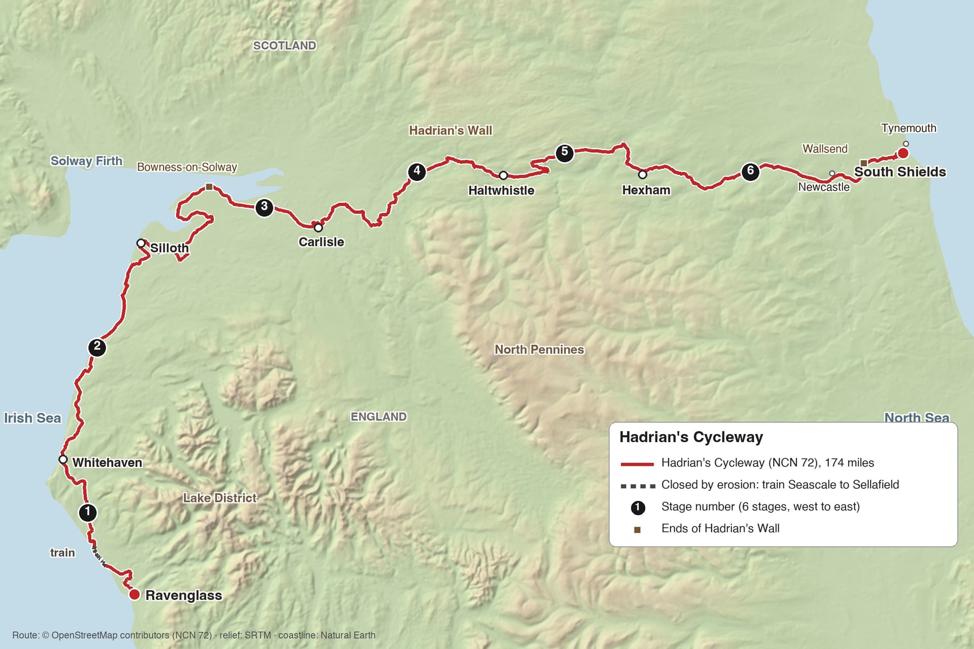
The route is National Cycle Network Route 72. It runs 174 miles (280 km) from Ravenglass in Cumbria to South Shields on the Tyne and follows Rome's northern frontier for most of the way. Riders usually go west to east, with the prevailing wind behind them.
The coasts at both ends are flat, and the hills sit in the middle. The highest point is only 255 m, less than half the height the C2C reaches, and three to five days is enough for most riders.
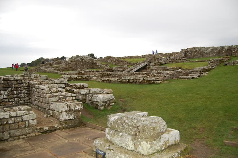
Among the UK cycling routes, this is the one for Roman history: ten Roman forts and museums lie on it or within about a mile of it.
Does Hadrian's Cycleway Follow the Wall?
It follows the line of the wall, but not the stones themselves. The wall ran 73 miles from Bowness-on-Solway to Wallsend, and the cycleway shadows it on quiet lanes, riverside paths and old railway lines.
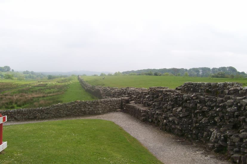
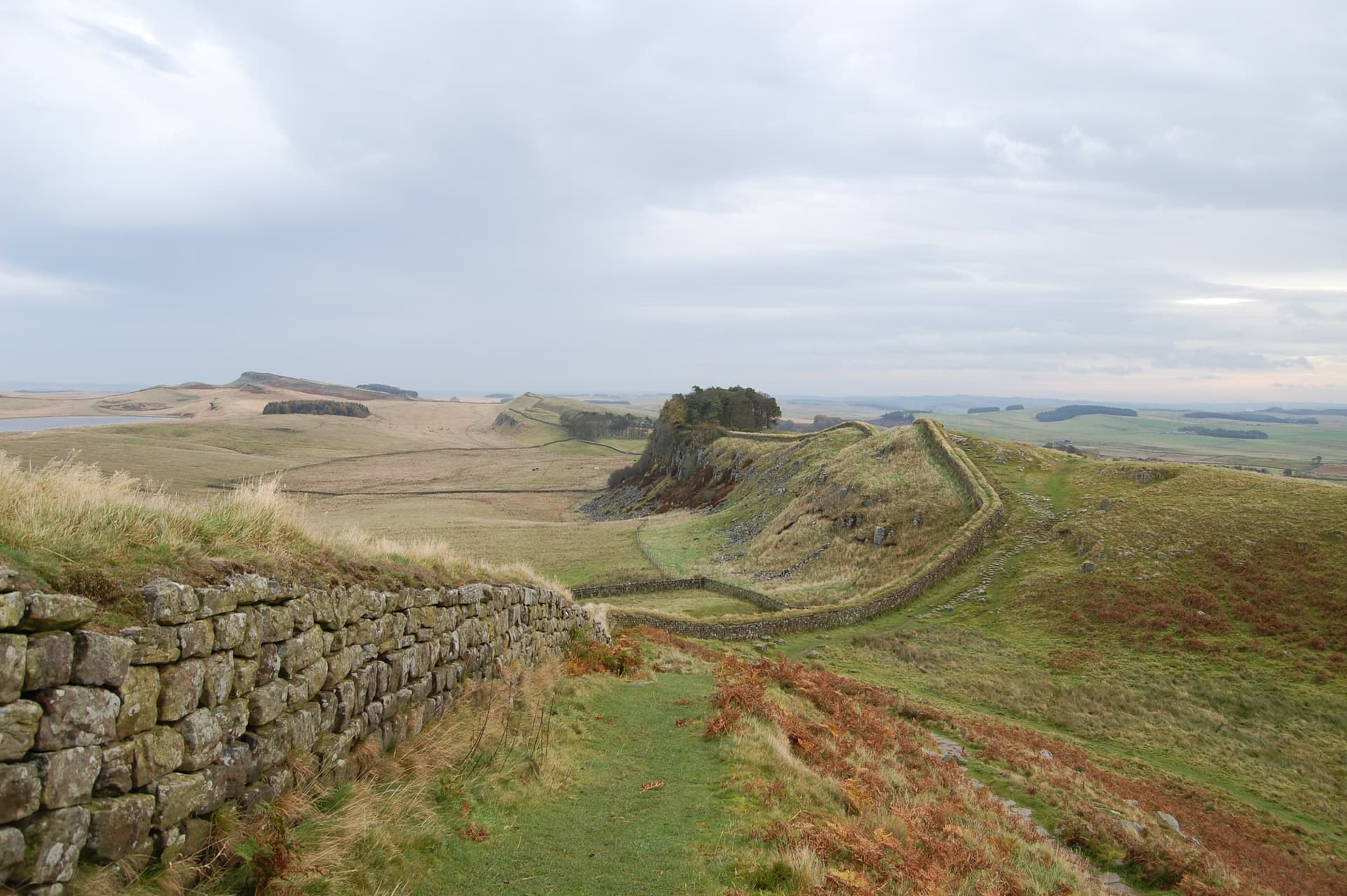
In the central section the route runs about a mile south of the wall, which keeps to the crags of the Whin Sill. Between Banks and Birdoswald you ride right beside standing wall, with turrets next to the lane.
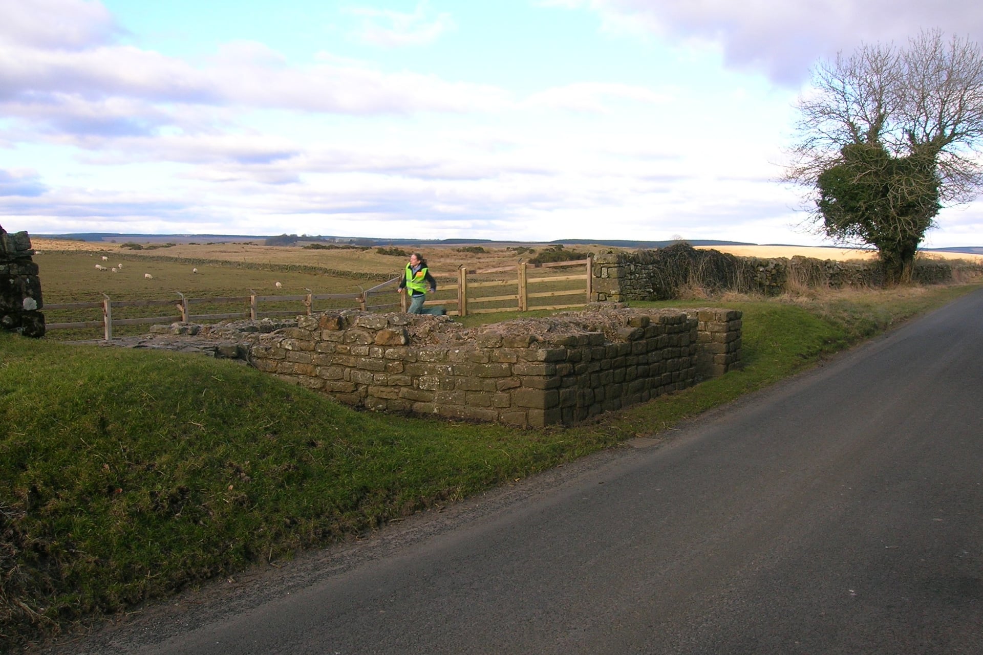
On the crags, the best stretches need a short walk: Walltown, Steel Rigg and Housesteads are each within about a mile of the route, so plan time to lock the bike.
The Hadrian's Wall Path is a separate 84-mile National Trail for walkers. Most of it is public footpath, where cycling is not allowed, so riders stay on Route 72 and walk the sections they want to see.
The Route Stage by Stage
The six stages below follow Walk Wheel Cycle Trust's official section distances, west to east. Five of them end in a town with a train or Metro station, which makes it easy to join, leave or split the ride; Silloth is the exception.
Stage 1: Ravenglass to Whitehaven
Distance: 22 miles (35.5 km)
Elevation gain: about 210 m
Surface: quiet lanes, then shared C2C paths into Whitehaven
Where to sleep: Ravenglass the night before, Whitehaven
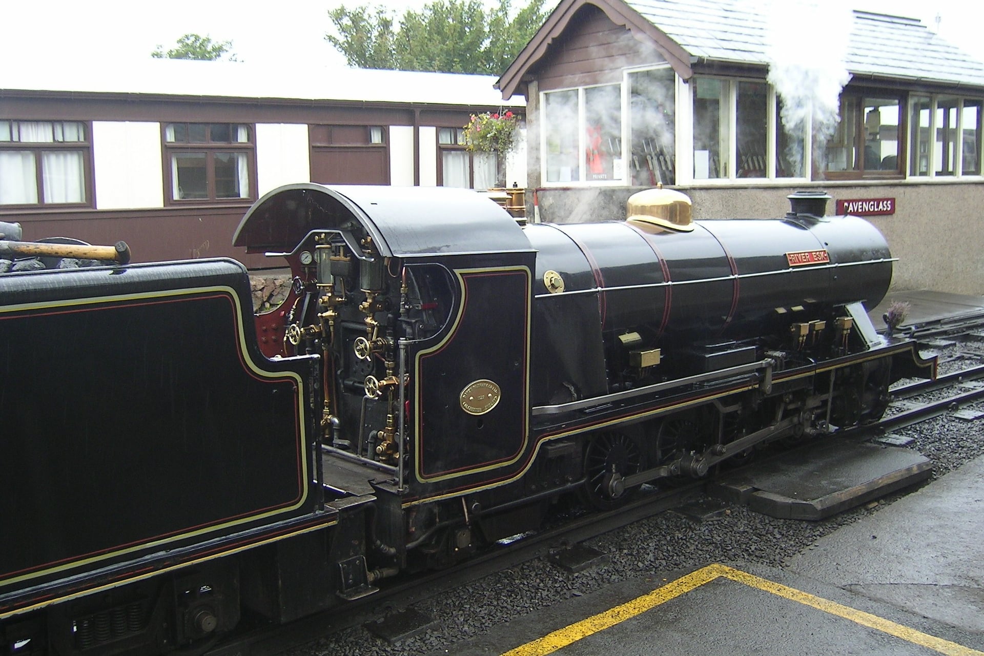
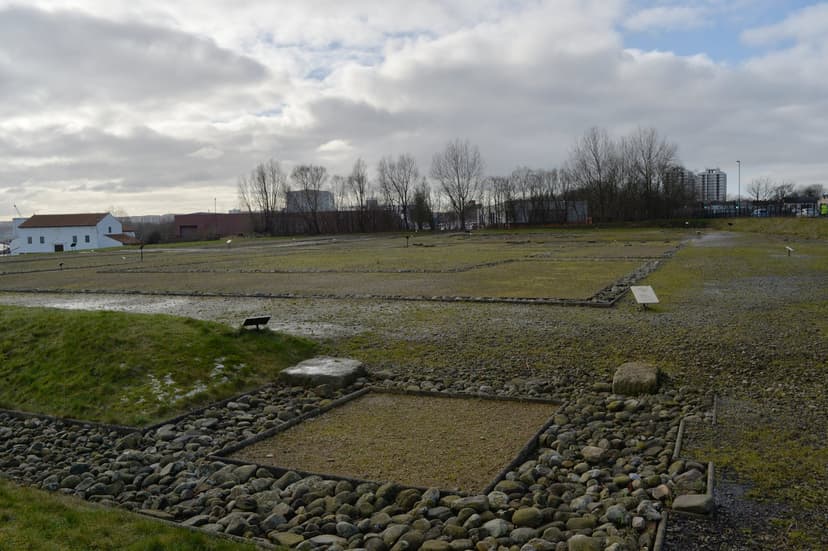
The route starts at the Roman bath house at Ravenglass, whose walls stand almost 4 metres high, among the tallest Roman remains in northern Britain. From the village you cross the Esk estuary on the railway bridge and ride lanes north through Drigg to Seascale.
At present, this stage cannot be ridden end to end. Coastal erosion has closed the route south of Sellafield station, and the signs there are covered. Take the Northern train between Seascale and Sellafield, then follow the route inland through Egremont and on along the C2C paths into Whitehaven.
Stage 2: Whitehaven to Silloth
Distance: 31 miles (49.5 km)
Elevation gain: about 230 m
Surface: lanes and cycle paths, a traffic-free shore path from Maryport to Allonby, then the coast road
Where to sleep: Maryport, Allonby, Silloth
From Whitehaven's harbour the route heads north through Workington to Maryport. The Senhouse Roman Museum stands beside the route there and holds the largest group of Roman military altars from any site in Britain.
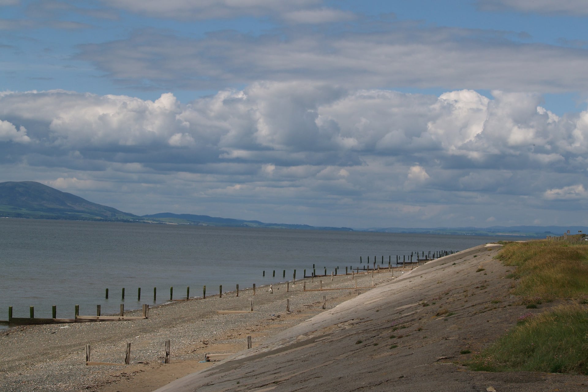
North of Maryport, the best riding on the west coast begins: a traffic-free path follows the shore to Allonby, with the Scottish hills across the Solway Firth. The last miles run along the coast road to Silloth, a small Victorian resort with no railway station.
Stage 3: Silloth to Carlisle
Distance: 35 miles (56.5 km)
Elevation gain: about 130 m
Surface: quiet lanes across farmland and open saltmarsh
Where to sleep: Bowness-on-Solway, Burgh by Sands, Carlisle
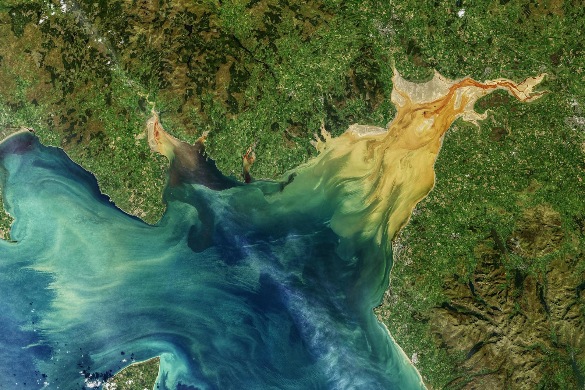
This is the flattest stage. Lanes lead inland through Abbeytown, back to the shore at Anthorn and past the RSPB reserve at Campfield Marsh to Bowness-on-Solway, where Hadrian's Wall began.
East of Bowness the road crosses open saltmarsh, and the stretch between Drumburgh and Dykesfield floods at high tide. Check the tide times before you set off.
From there the route runs through Burgh by Sands, past its statue of Edward I, into Carlisle. The city has a castle, a cathedral and the main railway station on the route.
Stage 4: Carlisle to Haltwhistle
Distance: 29 miles (46.5 km)
Elevation gain: about 500 m
Surface: riverside path out of Carlisle, then lanes with short, steep climbs
Where to sleep: Brampton, Gilsland, Greenhead, Haltwhistle
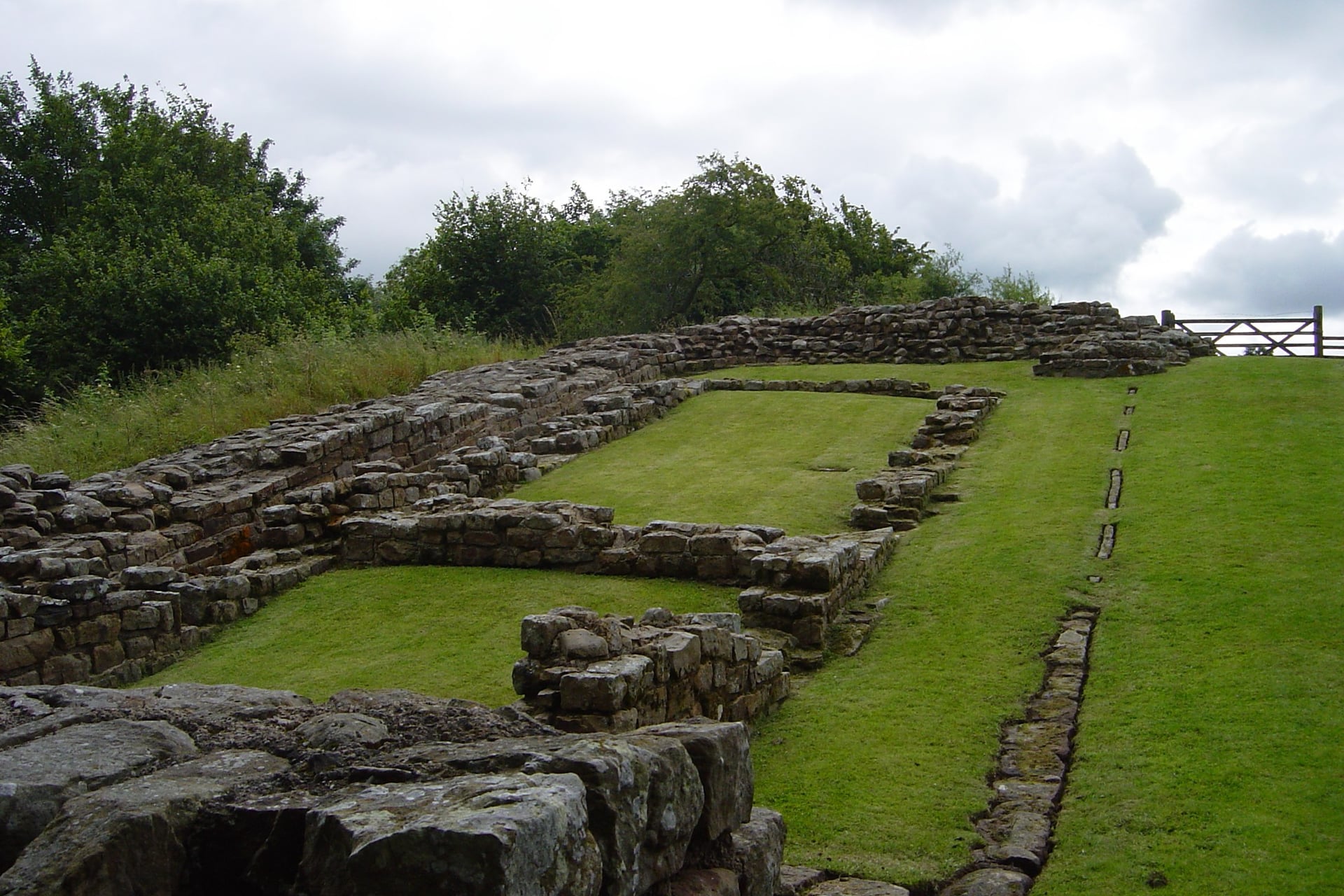
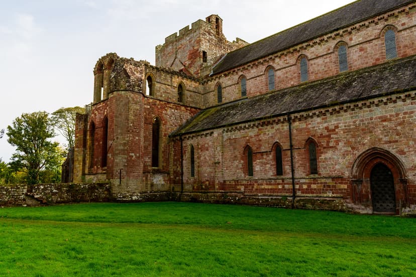
The hills start here. You leave Carlisle on a path beside the River Eden, then lanes lead through Brampton, a market town with cafés, to Lanercost Priory. The Augustinian canons who founded it in 1169 used the nearby wall as a source of building stone.
From Lanercost a lane climbs about 100 m in 2 miles to Banks, where the first standing stretches of wall appear beside the road. Outside Birdoswald fort is the longest continuous stretch of wall still visible. The climb past Gilsland to the Roman Army Museum near Greenhead is the last real effort.
From the museum the route drops into Haltwhistle, a market town on the Tyne Valley railway between Carlisle and Newcastle. It has shops, pubs, the most beds on this stage and trains back to Carlisle. If it is full, YHA The Sill at Once Brewed is 7 miles further on.
Stage 5: Haltwhistle to Hexham
Distance: 22 miles (35.5 km)
Elevation gain: about 410 m
Surface: lanes, with one short rough section at Vindolanda
Where to sleep: Bardon Mill, Once Brewed, Hexham
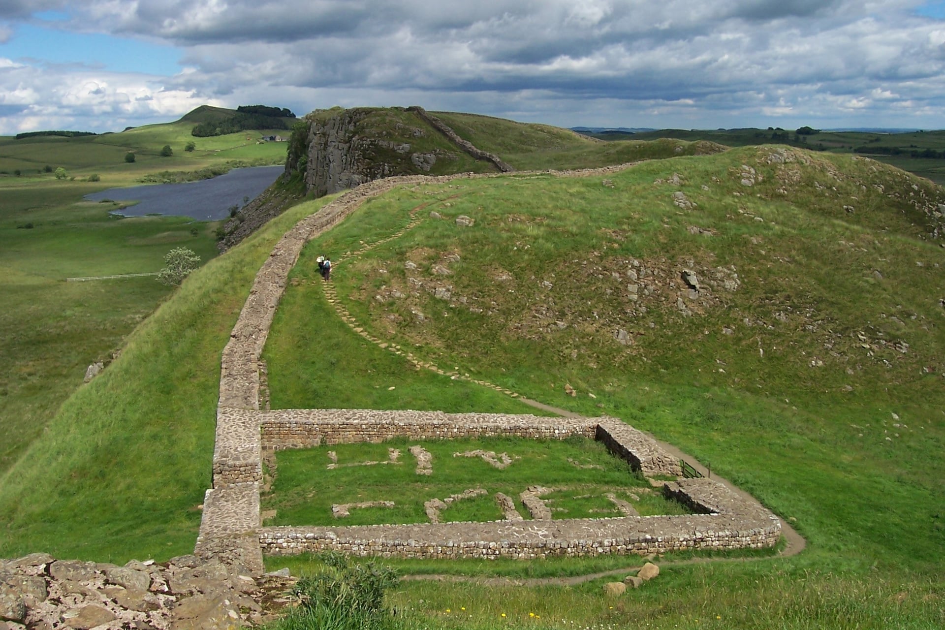
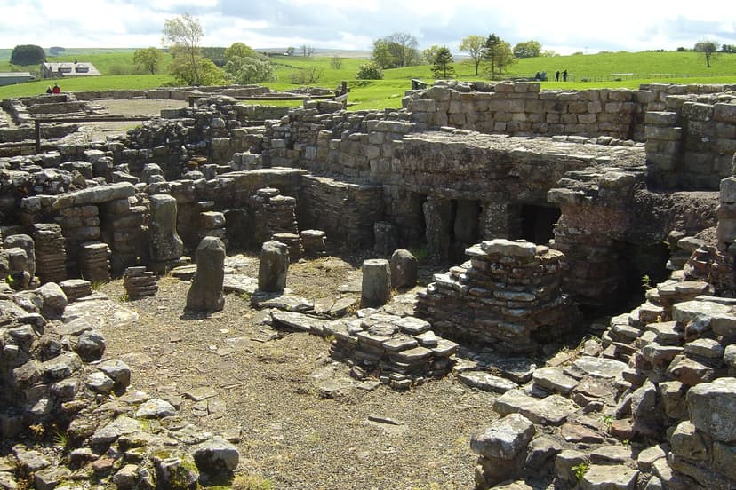
Stage 5 is the shortest, but it has the steepest climbs on the route. From Haltwhistle the route drops to Bardon Mill, then climbs about 130 m in 2.5 miles to Once Brewed. It dips to Vindolanda and climbs again to the route's highest point, 255 m, on the lane just east of the fort.
Two detours north are worth the time. Steel Rigg, about a mile from the route at Once Brewed, is the start of the walk along the crags to Milecastle 39. Housesteads fort is about a mile north of the high point, a short climb up from the road.
The stage ends with a long descent past the turn for Chesters, a cavalry fort beside the North Tyne, into Hexham. The town's abbey has a Saxon crypt built from re-used Roman stone, and Hexham has the most beds and shops between Carlisle and Newcastle.
Stage 6: Hexham to South Shields
Distance: 35 miles (56 km)
Elevation gain: about 240 m
Surface: riverside paths and quiet roads, with long traffic-free stretches from Wylam into Newcastle
Where to sleep: Corbridge, Newcastle, Tynemouth, South Shields
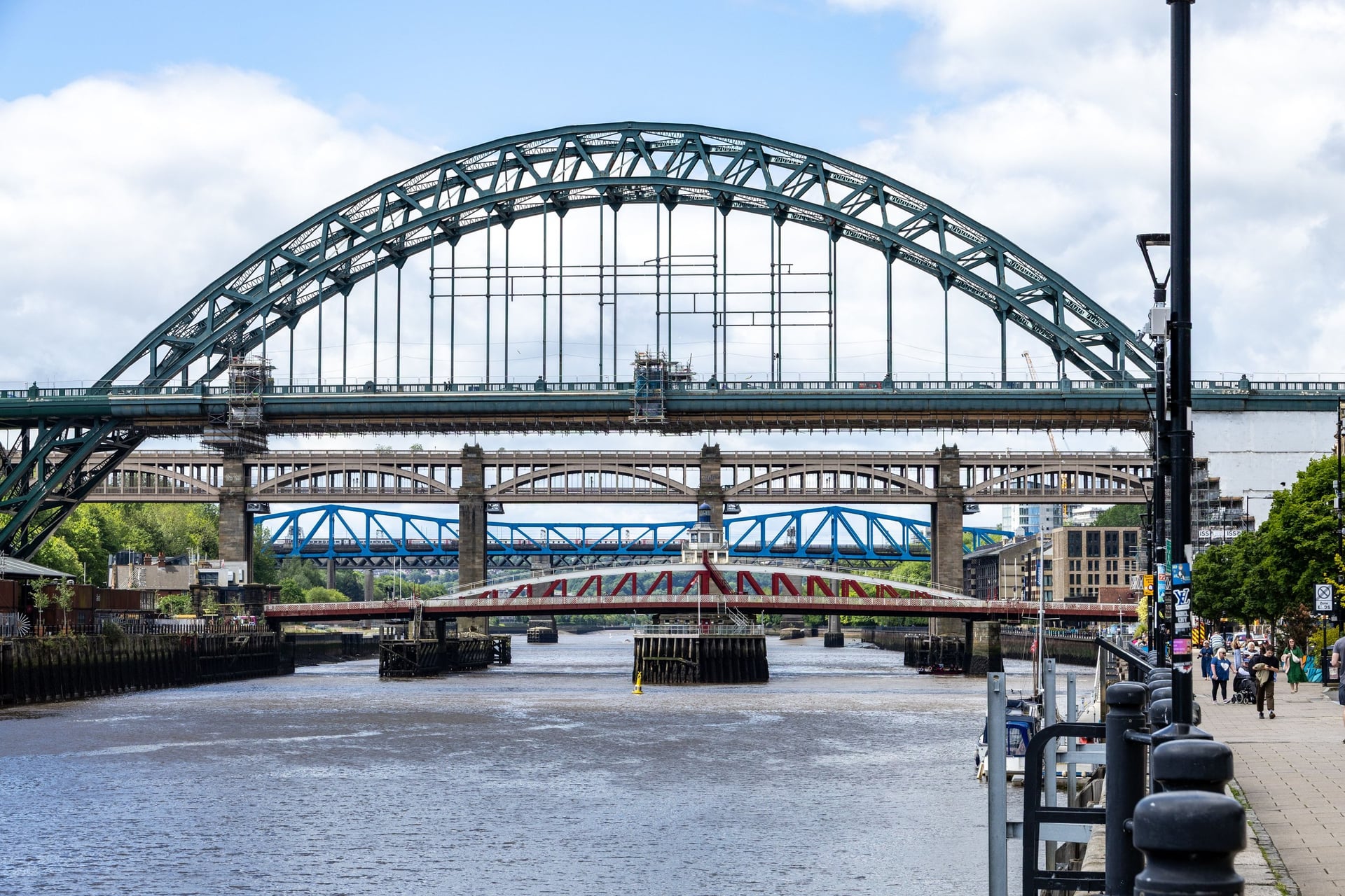
It is downhill almost all the way to the sea. The route follows the Tyne through Corbridge, where the Roman town is a short walk from the path, and Wylam, birthplace of the railway engineer George Stephenson, before it reaches Newcastle's Quayside.
Below the bridges the path continues to Wallsend, where Segedunum marks the eastern end of the wall. Its 35-metre viewing tower looks down over the whole excavated fort, and Wallsend Metro station is a few minutes' walk away.
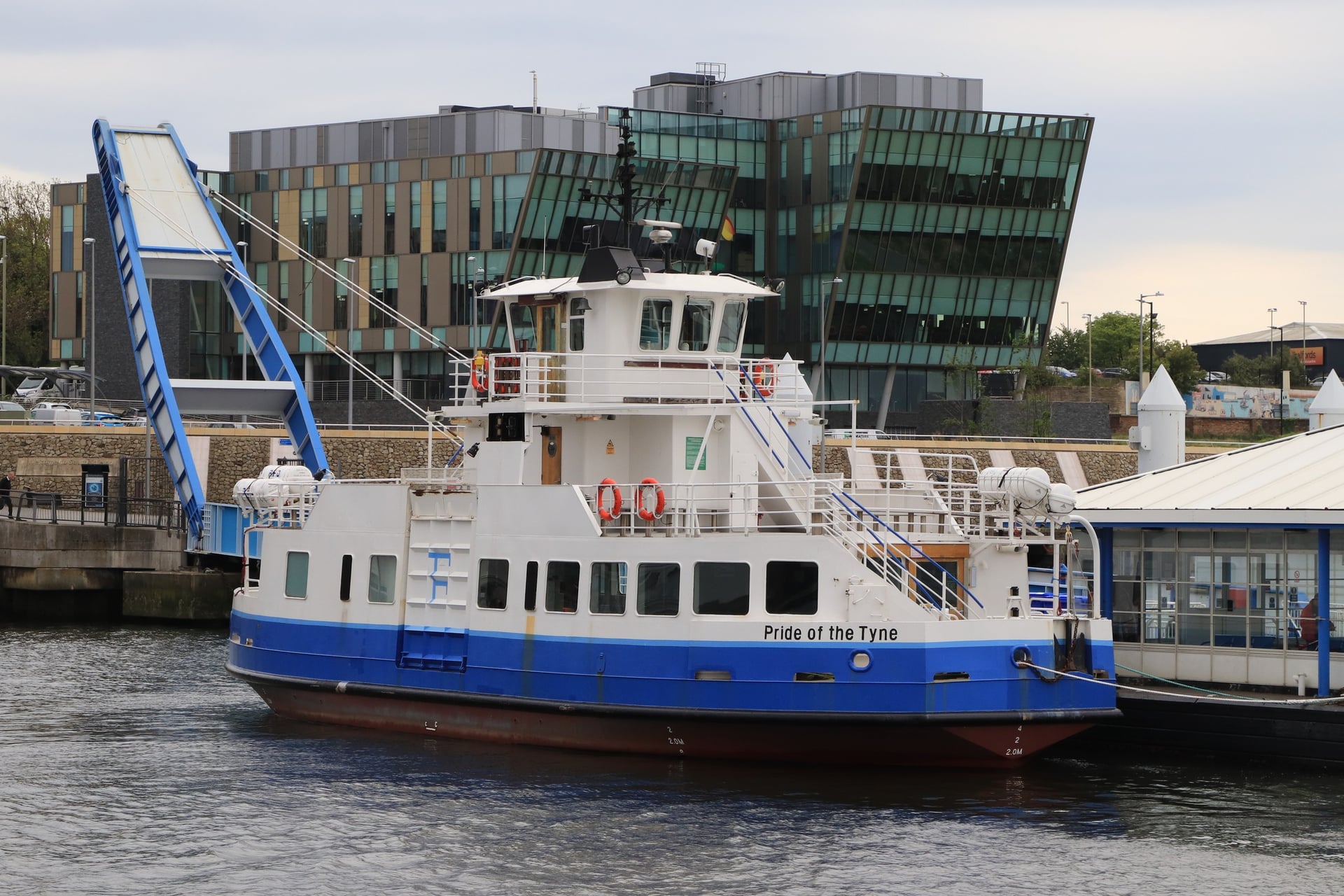
From North Shields the Shields Ferry crosses to South Shields every 30 minutes, seven days a week, and the seven-minute crossing is part of the official route. Bikes travel free; walk them along the landings. Arbeia fort, with its rebuilt west gate, is a short ride from the South Shields landing.
If you prefer to finish on the north bank, skip the ferry and follow National Route 1 from North Shields to Tynemouth, where the priory stands on the headland above the river mouth.
Forts and Sites Worth a Stop
These five stops sit on the route or a short walk from it, from Lanercost Priory on Stage 4 to Segedunum, where the wall ends, on Stage 6.
How Many Days Do You Need?
Walk Wheel Cycle Trust says most people complete the route in three days, and four or five if they stop at the forts. These splits use the stage towns above:
Plan | Overnight stops | Daily miles |
3 riding days | Silloth, Haltwhistle | 53, 64, 57 |
4 riding days | Silloth, Carlisle, Hexham | 53, 35, 51, 35 |
5 riding days from Whitehaven | Silloth, Carlisle, Haltwhistle, Hexham | 31, 35, 29, 22, 35 |
6 riding days | Whitehaven, Silloth, Carlisle, Haltwhistle, Hexham | 22, 31, 35, 29, 22, 35 |
Add a day at each end for the trains. Four or more riding days leave time for the forts and the walks to Housesteads and Steel Rigg.
How Hard Is Hadrian's Cycleway?
You need no technical skill for this route. Most of the effort is packed into the 51 miles between Carlisle and Hexham, and the rest is close to flat.
Hills and the Highest Point
The whole route has about 1,700 m of elevation gain, and stages 4 and 5 carry more than half of it. The Cumbrian coast, the Solway plain and the Tyne valley below Hexham are almost flat.
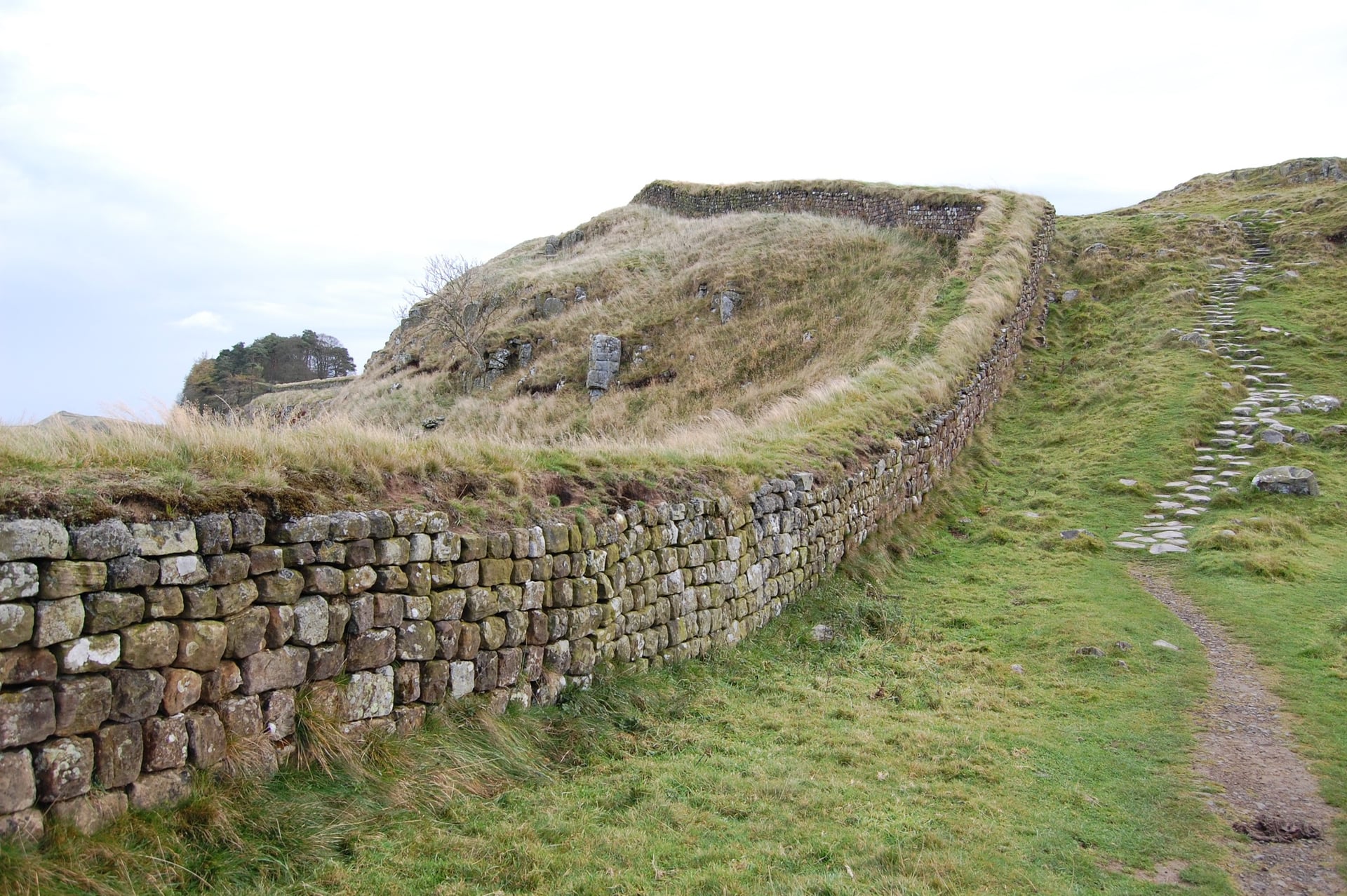
The climbs are short: Lanercost to Banks gains about 100 m in 2 miles, and Bardon Mill to Once Brewed about 130 m in 2.5 miles. The steepest is the lane from Vindolanda to the high point: 100 m in just over a mile. Low gears get a loaded touring bike up all of them.
Surfaces and Which Bike
Almost all of the route is sealed: Walk Wheel Cycle Trust measures 97.7% asphalt. The rough parts are a short bumpy section at Vindolanda and a gravel path shortly before Haltwhistle, where a parallel road is an option.
For comfort, ride a touring, hybrid or gravel bike with tyres of 28 mm or wider. You can ride it on a road bike, but the trust advises against full slick or racing tyres. An e-bike makes the climbs around Vindolanda much easier.
Traffic and Road Crossings
About a third of the route (32.2%) is traffic-free, and most of the rest uses quiet lanes. Expect more traffic on the coast road north of Allonby, in Carlisle and on the way into Newcastle, where the riverside approach has many road crossings.
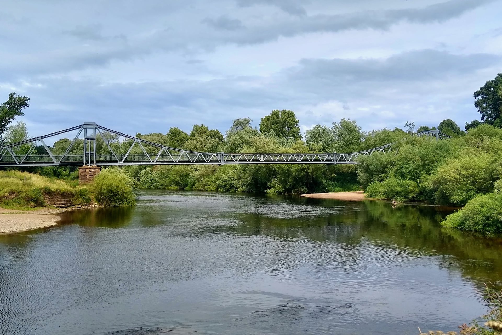
Waymarking and Navigation
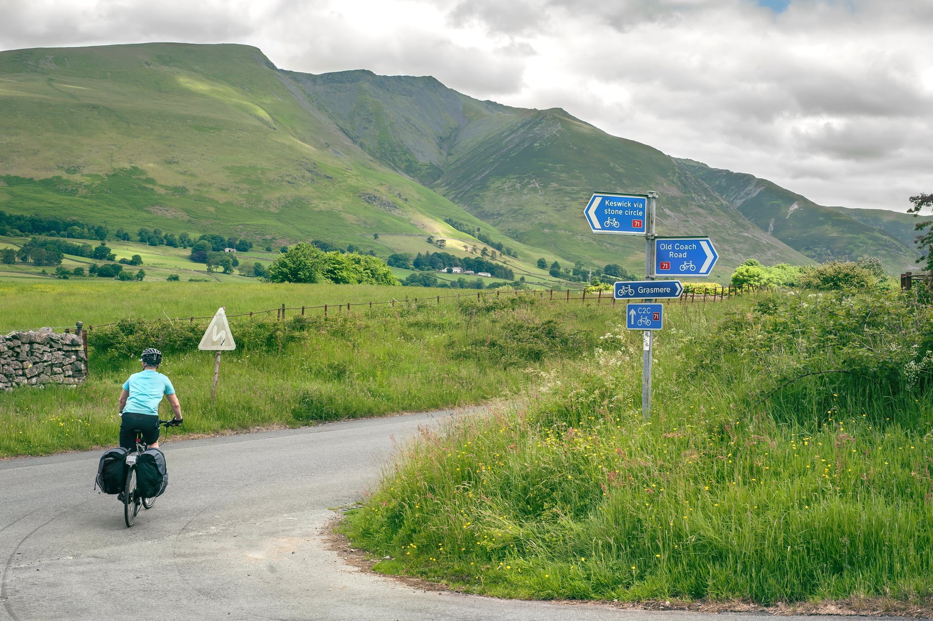
Route 72 is signed in both directions with blue National Cycle Network signs, often with a Roman helmet logo. More than 130 new signs went up in Cumbria in 2018.
The signs are good, but carry a GPX file anyway: signs go missing in towns, and the ones south of Sellafield are covered until the coast section reopens.
Best Time to Cycle Hadrian's Wall
The wall country changes a lot through the year, from long light and busy forts in summer to empty roads and short days in winter.
April and May: Carlisle averages 12 to 16 °C by day. May is the sunniest month, with about 197 hours of sunshine.
June to August: the warmest months, 18 to 20 °C, with about 17 hours of daylight in late June. Forts and beds are busiest in the school holidays from late July.
September: still 17 °C on average, with quieter roads and about 12.5 hours of daylight by mid-month.
October: the wettest month (98 mm) and about 10 hours of daylight by mid-month. Some sites shorten their hours; Segedunum currently opens 10am to 3pm and closes on Sundays.
November to March: 7 to 10 °C by day, about 7 hours of daylight in December, and frost on 9 or 10 days a month in December and January.
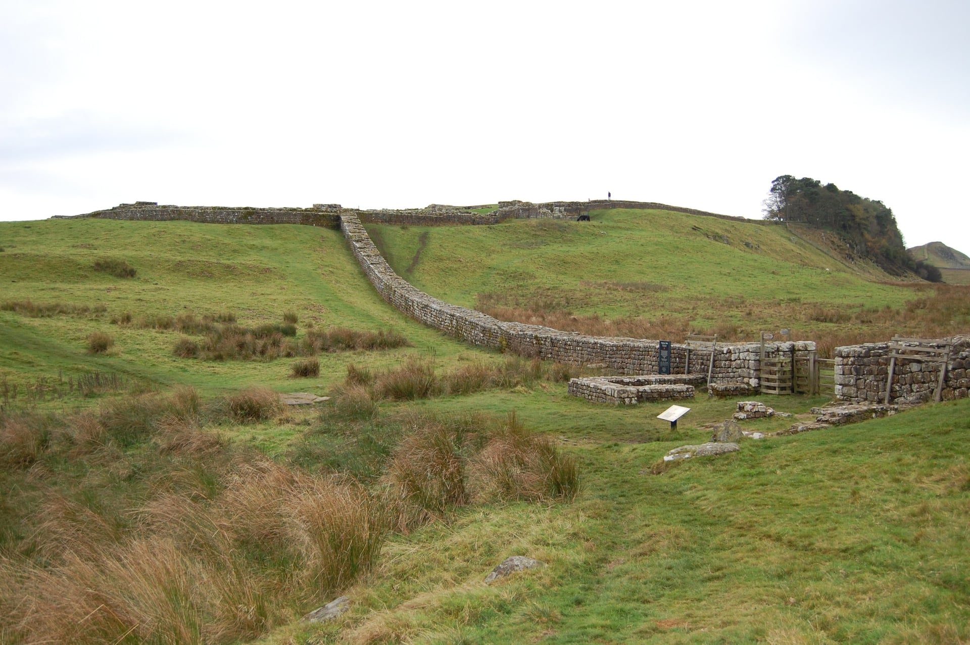
For most riders, May, June and September are the best months, with long light, settled weather and quiet forts. In winter, carry lights every day and check that the guesthouses you need are open.
Know Before You Arrive
The practical side is simple once you know where the trains stop and where the beds thin out.
Getting There and Back
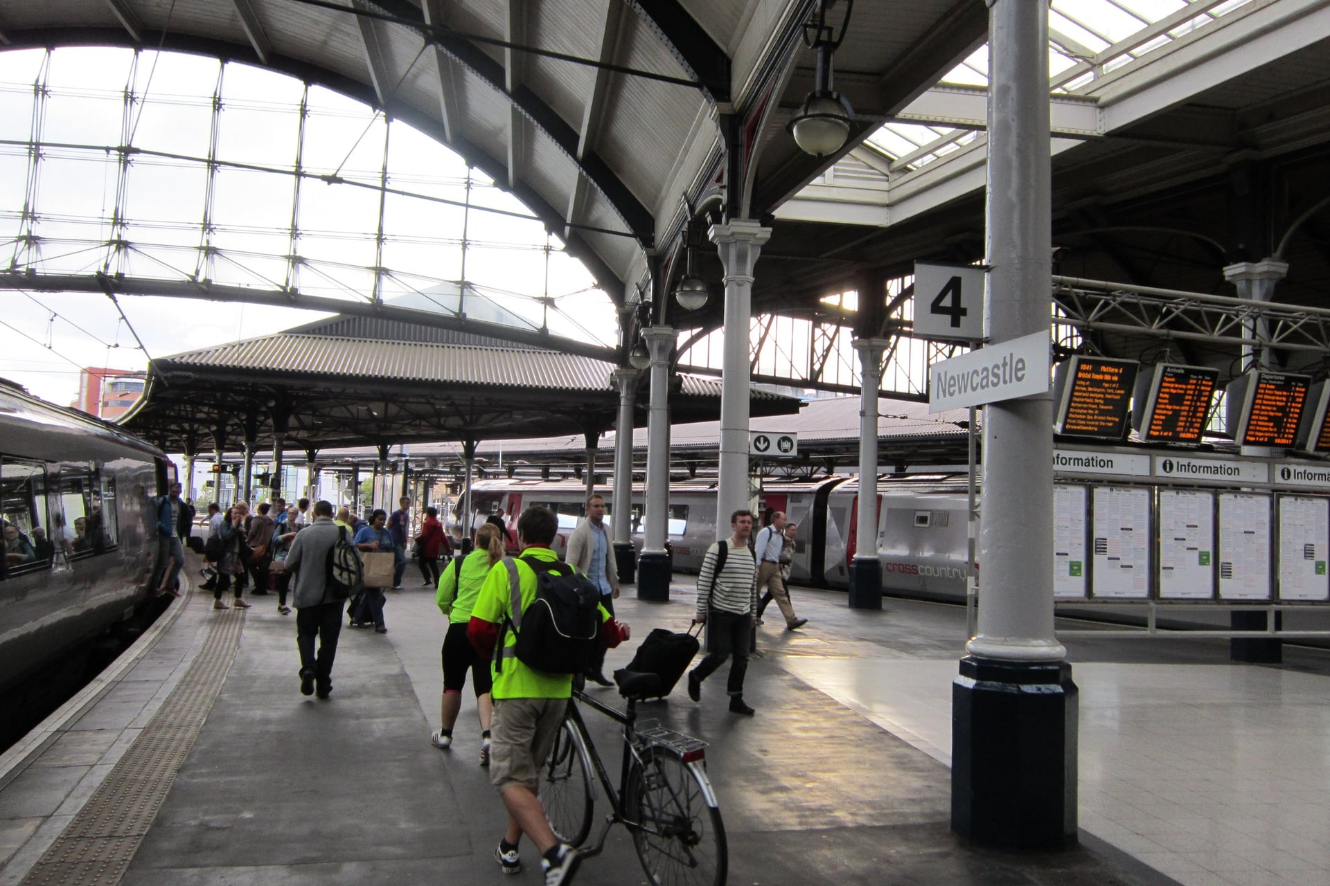
Both ends of the route are on the railway, so you can arrive and leave by train. Northern carries bikes free on its local lines without a booking, first come, first served. Avanti West Coast at Carlisle and LNER at Newcastle also carry bikes free but need a reserved space.
Place | Train or ferry | Bikes |
Ravenglass | Cumbrian Coast line (Northern), via Carlisle or Barrow-in-Furness | Free, no booking |
Whitehaven | Cumbrian Coast line, about 1 h 10 from Carlisle | Free, no booking |
Carlisle | West Coast Main Line; Tyne Valley line to Haltwhistle, Hexham and Newcastle | Avanti: free, book a space; Northern: free, no booking |
Newcastle | East Coast Main Line (LNER) | Free, book a space |
South Shields and Tynemouth | Tyne and Wear Metro | Weekdays 10am to 3pm and after 7pm, all day at weekends |
North Shields to South Shields | Shields Ferry, every 30 minutes | Free |
At the eastern end, the Metro will not take your bike into central Newcastle: bikes are not allowed at any time between Haymarket and Gateshead. From Tynemouth, take the Metro to Manors and ride under a mile to the station, or ride back along the river.
Where to Stay
Beds are easy to find in Carlisle, Hexham, Newcastle and the coast towns. The thinnest stretch is the 36 miles between Brampton and Hexham, where the choice is village inns, B&Bs and one large hostel.
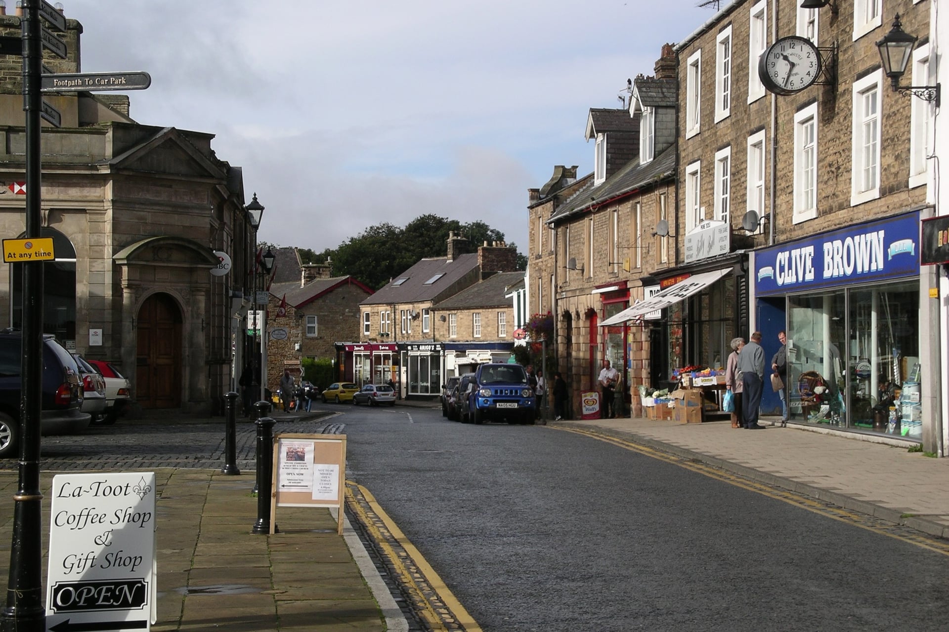
YHA The Sill at Once Brewed, about half a mile from the route, has 86 beds in 26 rooms, a cycle store and evening meals. Cicerone advises booking ahead near the wall in spring and summer, campsites included, so book the nights between Brampton and Hexham first. Wild camping in England needs the landowner's permission.
How Much Does It Cost?
The cycleway itself is free to ride. The money goes on beds, trains and the Roman sites.
Housesteads and Birdoswald (English Heritage): £11.90 for an adult booked online by the day before, more on the day. Free for English Heritage members, and National Trust members enter Housesteads free.
Vindolanda and the Roman Army Museum (Vindolanda Trust): one Saver ticket covers both sites and stays valid for 12 months. Booking in advance saves 10%.
Segedunum: £7.75 for an adult, including a £1 voluntary donation; free for under-22s.
Arbeia, South Shields: free.
Trains and ferry: bikes travel free on Northern trains, the Metro at off-peak times and the Shields Ferry.
What to Pack
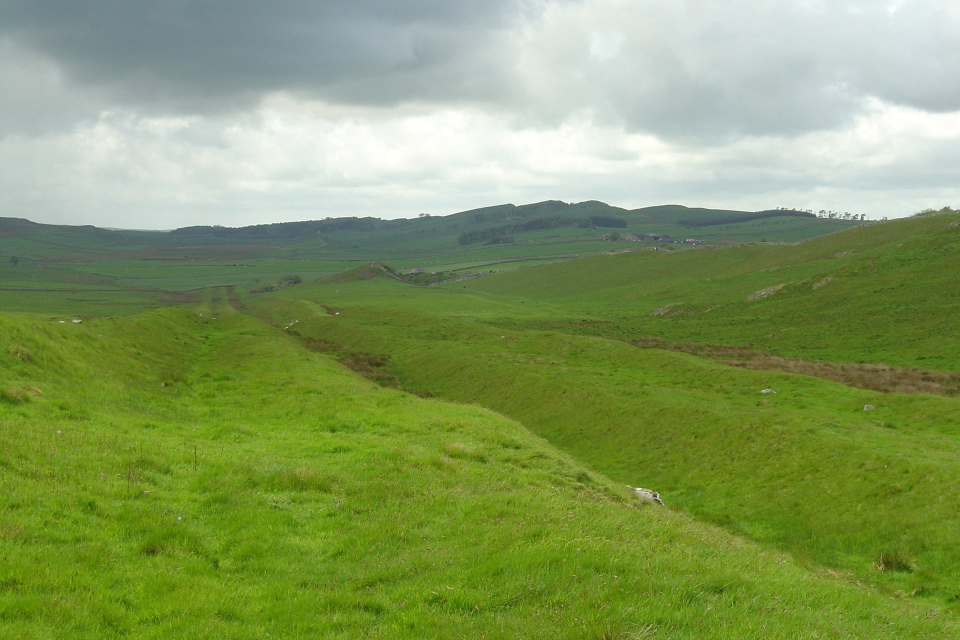
The middle of the route is open moorland, and the weather there can turn quickly, even in summer.
For any multi-day ride:
Waterproof jacket, a warm layer and cycling gloves
Spare tubes, pump and a multi-tool
Front and rear lights and a rear reflector, which the law requires after dark
Phone with the GPX file, a power bank and two water bottles
For Hadrian's Cycleway:
A lock, because you leave the bike outside forts and museums
Shoes you can walk in, for the crags at Steel Rigg and Housesteads
Snacks and a full bottle for the hilly stretch between Gilsland and Hexham
The tide times for the Solway marsh road on Stage 3
Walk Wheel Cycle Trust's Hadrian's Cycleway map or the GPX, for the towns where signs go missing
Ravenglass or Whitehaven: Where Should You Start?
While the coast south of Sellafield stays closed, Whitehaven is the simplest place to start. You miss 22 miles and the Ravenglass bath house, but you skip the train hop between Seascale and Sellafield, and Whitehaven has its own station on the Cumbrian Coast line.
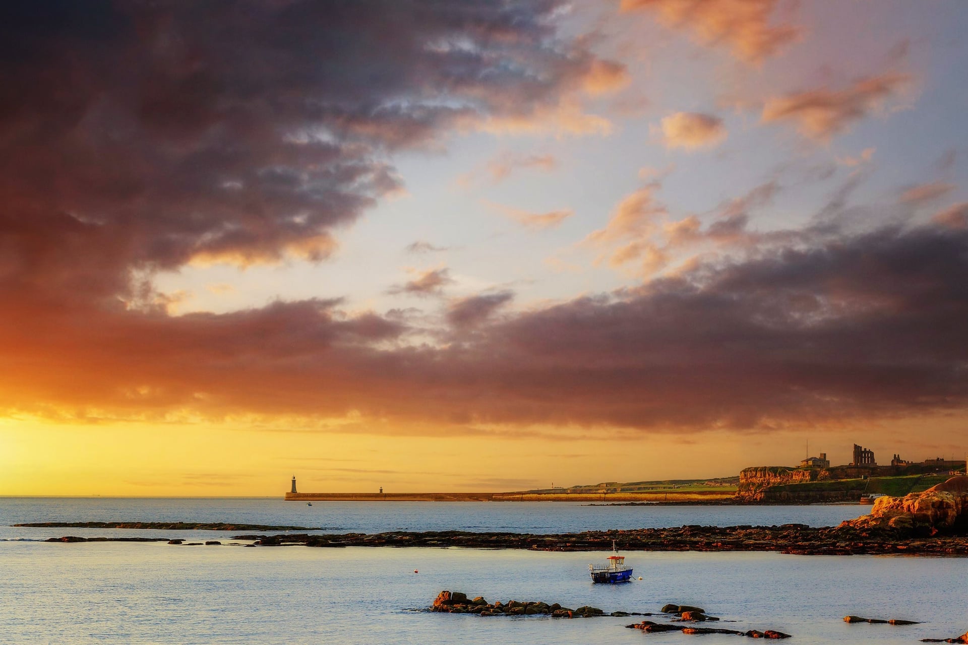
At the other end, finishing at Tynemouth on the north bank saves the ferry and ends the ride at the priory on the headland, a short ride from the Metro.
Our self-guided Hadrian's Cycleway Bike Tour is built this way:
Duration: 7 days / 5 riding days, April to September
Route: Whitehaven to Tynemouth, 143 miles, daily rides of 19 to 34 miles
Nights: Silloth, Carlisle, Haltwhistle and Hexham, in 3-star hotels with breakfast
We book all six nights, move your luggage each day and give you a GPS app, a digital guidebook and support on call while you ride. Ask us about dates for next season.
Five riding days take you from the Irish Sea at Whitehaven to the North Sea at Tynemouth, past forts the Roman army built more than 1,900 years ago.
Frequently Asked Questions



Plan with a cycling expert
Free advice from a team that knows these routes inside out - real people, not a bot

Hassle-Free
We take care of route planning, accommodations, luggage transfers, and all logistics, so you can focus purely on enjoying your ride.

Tried & Tested Adventures
Our cycling routes are hand-picked & tested, to ensure breathtaking landscapes, smooth roads, and maximum safety - giving you the perfect ride every day.

Unbeatable Support
Our 24/7 customer support is where we show our passion, ensuring your cycling holiday runs smoothly and your well-being is always our top priority.

Book with Confidence
We are a financially protected company, fully bonded and insured, keeping your money safe and allowing you to travel with confidence.