Cycling in Cornwall: The 9 Best Routes and Trails
Nine Cornwall cycle routes with distances, surfaces and stations, from the flat 18-mile Camel Trail to the 195-mile Cornish Way, plus trains and best months.
Quick links
Don't want to read all this?
We've planned 800+ cycling trips. Send your dates, fitness and group size — we'll map the route and book every night.


In Cornwall you can ride an old railway beside the Camel estuary in the morning and reach the engine houses of the mining coast by the afternoon. The sea is never far away, and most rides end at a harbour with a pasty shop and a pub.
The riding comes in two kinds. Old railways and mineral tramways give flat, traffic-free trails such as the 18-mile Camel Trail, while the lanes climb in and out of every cove. The signed Cornish Way links both across the county, 195 miles from Land's End to Bude.
Mild winters keep the trails open all year, and the far west has rides for every kind of bike, from family trails to a three-day gravel loop. For long routes elsewhere in Britain, see our UK cycling routes.
The Best Cycling Routes in Cornwall
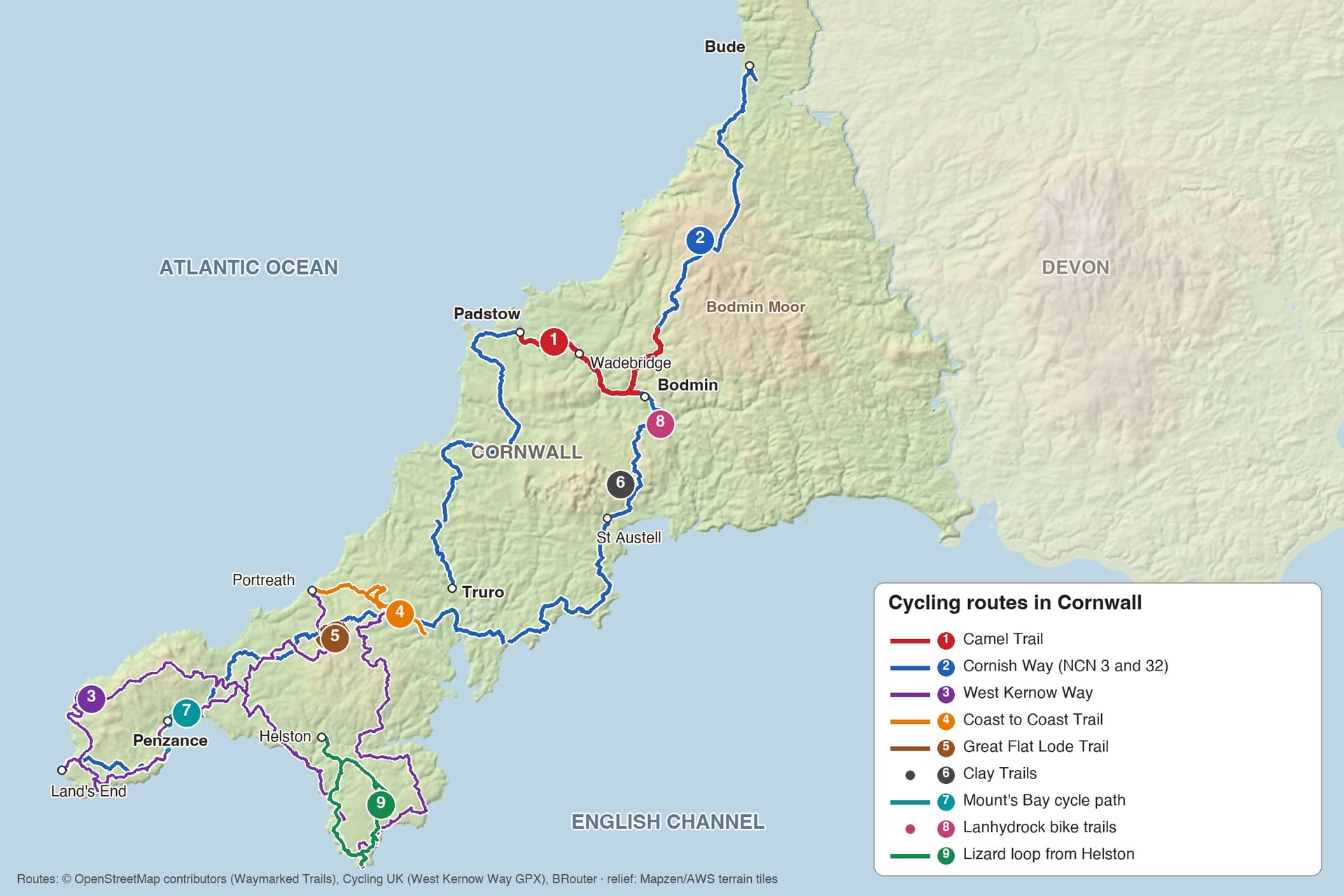
Cornwall's best rides range from flat family trails to a 143-mile off-road loop, and they are numbered for navigation, not ranked. Every entry lists the same facts, including the nearest railway station.
1. The Camel Trail
Distance: 18 miles (29 km) one way
Route: Padstow to Wenfordbridge via Wadebridge and Bodmin, on a disused railway line
Surface: surfaced, largely traffic-free and virtually level
Best bike: any hybrid or hire bike; wheelchair users and buggies use it too
Nearest station: Bodmin Parkway, about 3 miles from the trail at Bodmin
Best for: families, first-time riders and a half-day ride from Padstow
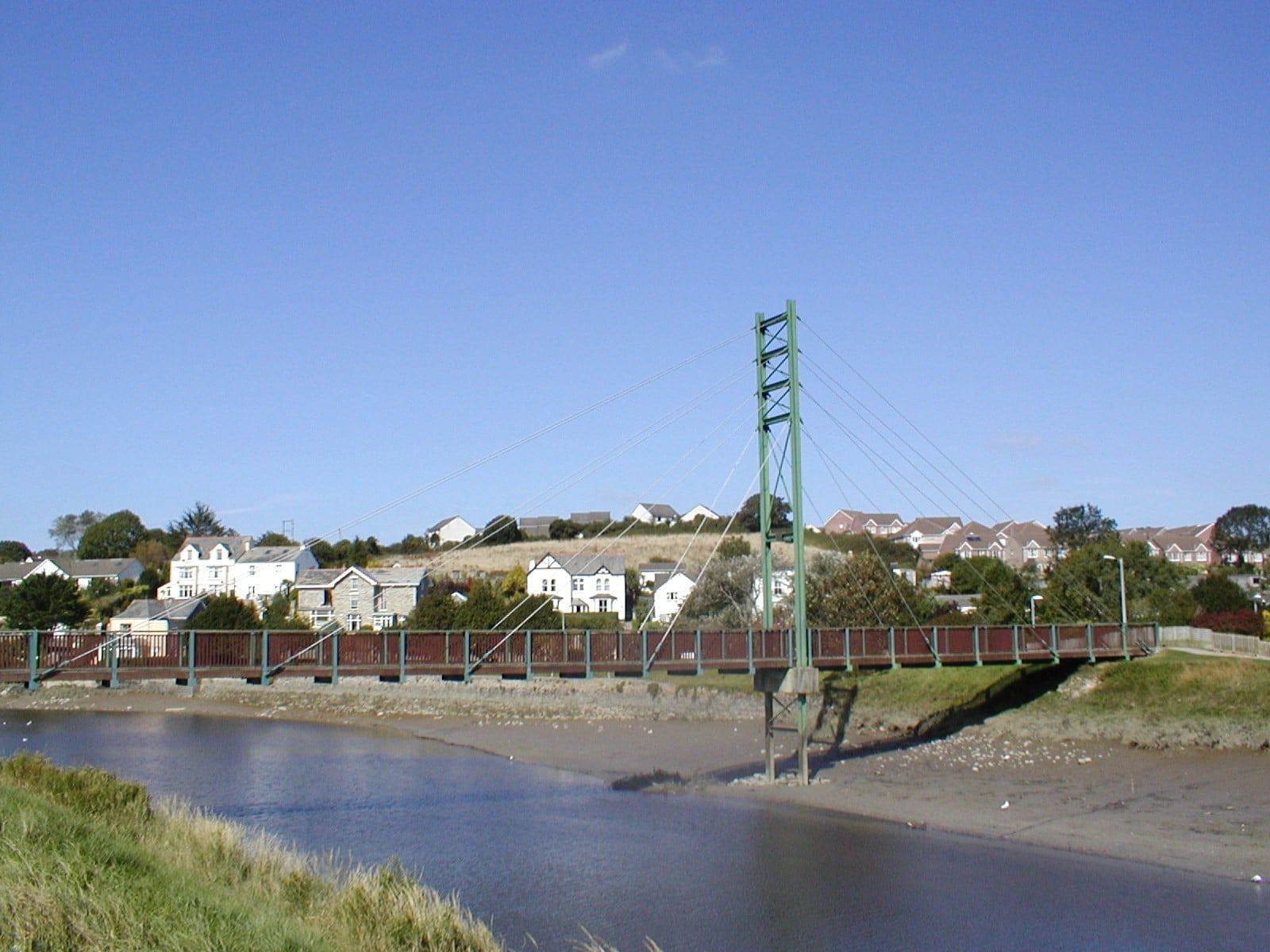
From Padstow, the Camel Trail follows the old railway along the Camel estuary to Wadebridge, then turns inland through the woods of the Camel valley to Bodmin and Wenfordbridge. Cornwall Council calls it virtually level, and the only rise is the last section to Wenfordbridge.
Section | Miles | km | What you ride past |
Padstow to Wadebridge | 5.5 | 8.8 | The open estuary, with a café at the old quarry on the way |
Wadebridge to Bodmin (Boscarne) | 5.75 | 9.25 | The River Camel and the woods around Nanstallon |
Bodmin to Wenfordbridge | 6.25 | 10.1 | A wooded valley rising gently towards Bodmin Moor |
For a half day, ride Padstow to Wadebridge and back, 11 miles in all. On a full day, the heritage railway saves riding the same miles twice: ride from Padstow to Boscarne Junction and take a Bodmin & Wenford Railway train to Bodmin General and the main line at Bodmin Parkway.
The railway carries bikes free when there is space, but the trains do not run every day, so check the timetable first. Licensed bike hire is available in Padstow, Wadebridge, Bodmin and Wenfordbridge. Look out for otters, kingfishers and little egrets: the trail runs through a protected wildlife site.
2. The Cornish Way
Distance: 195 miles (314 km) including both branches
Route: Land's End to Bude, splitting at Truro into Route 3 via St Austell and Route 32 via Newquay and Padstow
Surface: 88.5% asphalt, mostly quiet lanes; 24% traffic-free
Best bike: touring, hybrid or gravel bike with low gears
Nearest station: Penzance for the start; Bude has no station
Best for: a week-long crossing of the county on signed routes
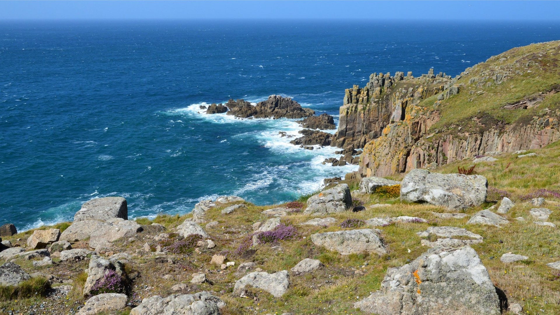
Walk Wheel Cycle Trust measures the Cornish Way at 195 miles with both branches. From Land's End it passes Mousehole and Penzance and follows Mount's Bay to Marazion. It then heads inland through Hayle, Camborne and Redruth to Truro.
At Truro you choose between the south and north coasts. Route 3 crosses the River Fal on the King Harry Ferry and follows Roseland lanes to Mevagissey, St Austell and the Eden Project. Route 32 heads north through Newquay and St Columb Major to Padstow, then joins the Camel Trail to Bodmin.
The branches meet again at Bodmin and climb onto the edge of Bodmin Moor through Blisland, St Breward and Camelford. Near Warbstow you can take the coast via Widemouth Bay or stay inland through Marhamchurch to Bude. Only about a quarter of the route is traffic-free, so expect lanes most of the way.
3. The West Kernow Way
Distance: 143 miles (230 km), a figure-of-eight loop
Route: Penzance round the Penwith peninsula and the Lizard, north to the mining country around Redruth and back to St Michael's Mount
Surface: bridleways, byways and quiet lanes, with loose rock and moorland tracks in places
Best bike: gravel bike with tyres of 35 mm or wider, or a hardtail mountain bike
Nearest station: Penzance
Best for: experienced off-road riders with three or four days
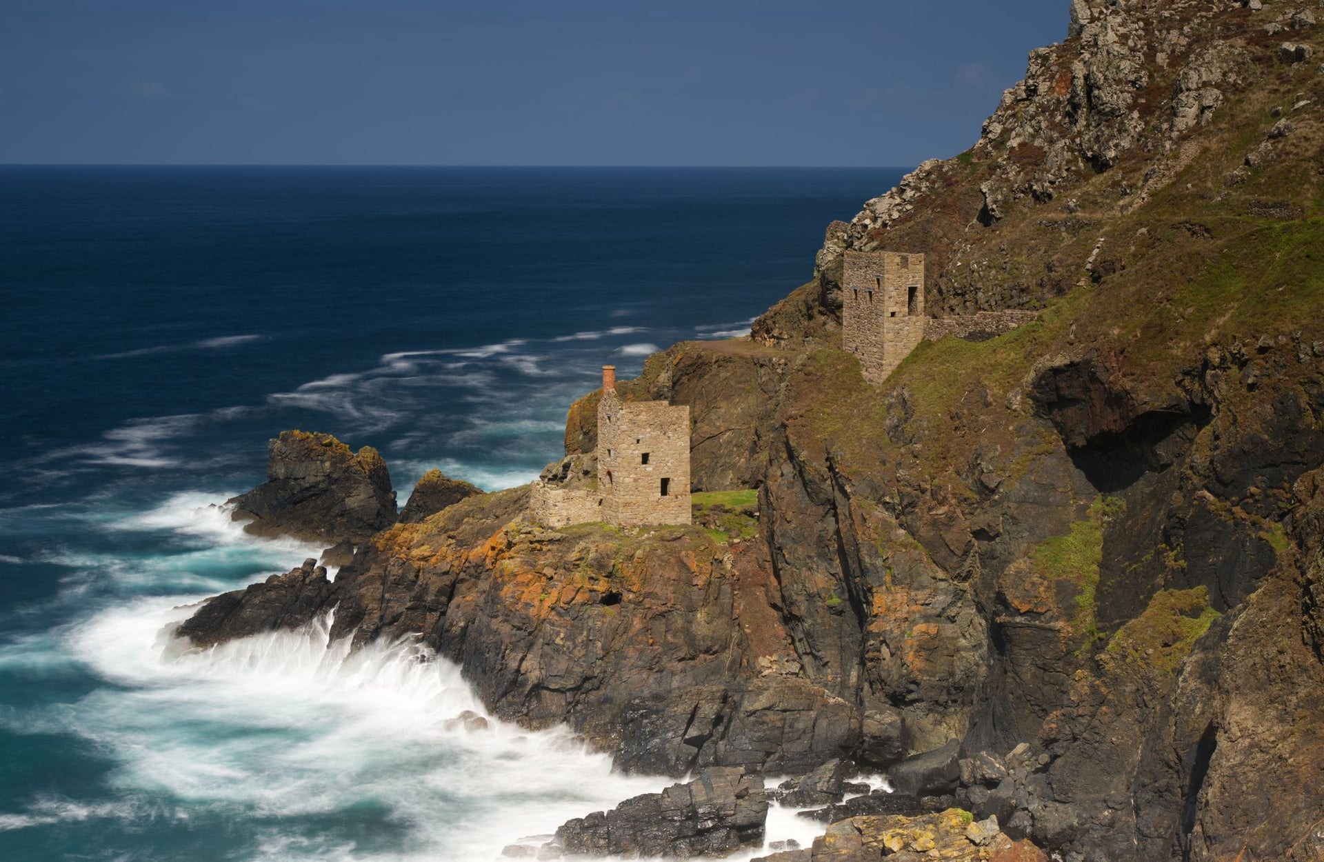
Cycling UK designed this bikepacking route to link the far west's best sights: the Botallack tin mines, the Bronze Age stones of Mên-an-Tol, Land's End, Lizard Point and St Michael's Mount. You ride clockwise round Penwith, then anticlockwise round the Lizard, before turning north towards Redruth.
With more than 4,200 m of elevation gain, this is the hardest ride on the list. Cycling UK grades it blue, which means moderate off-road riding with loose surfaces, roots and steep sections, and most of the steepest climbs come in the first half.
The route has no signs, and in the mining country several trails meet at each junction, so load the free route file onto a GPS before you go. Moorland sections in Penwith and on the Lizard turn sticky after rain, but road alternatives are never far away.
4. The Coast to Coast Trail
Distance: 11 miles (17.5 km) one way
Route: Portreath on the north coast to Devoran on the south coast, via Bissoe
Surface: generally level and mostly off-road, with some busy roads to cross
Best bike: hybrid or mountain bike
Nearest station: Redruth
Best for: riding from sea to sea in a day
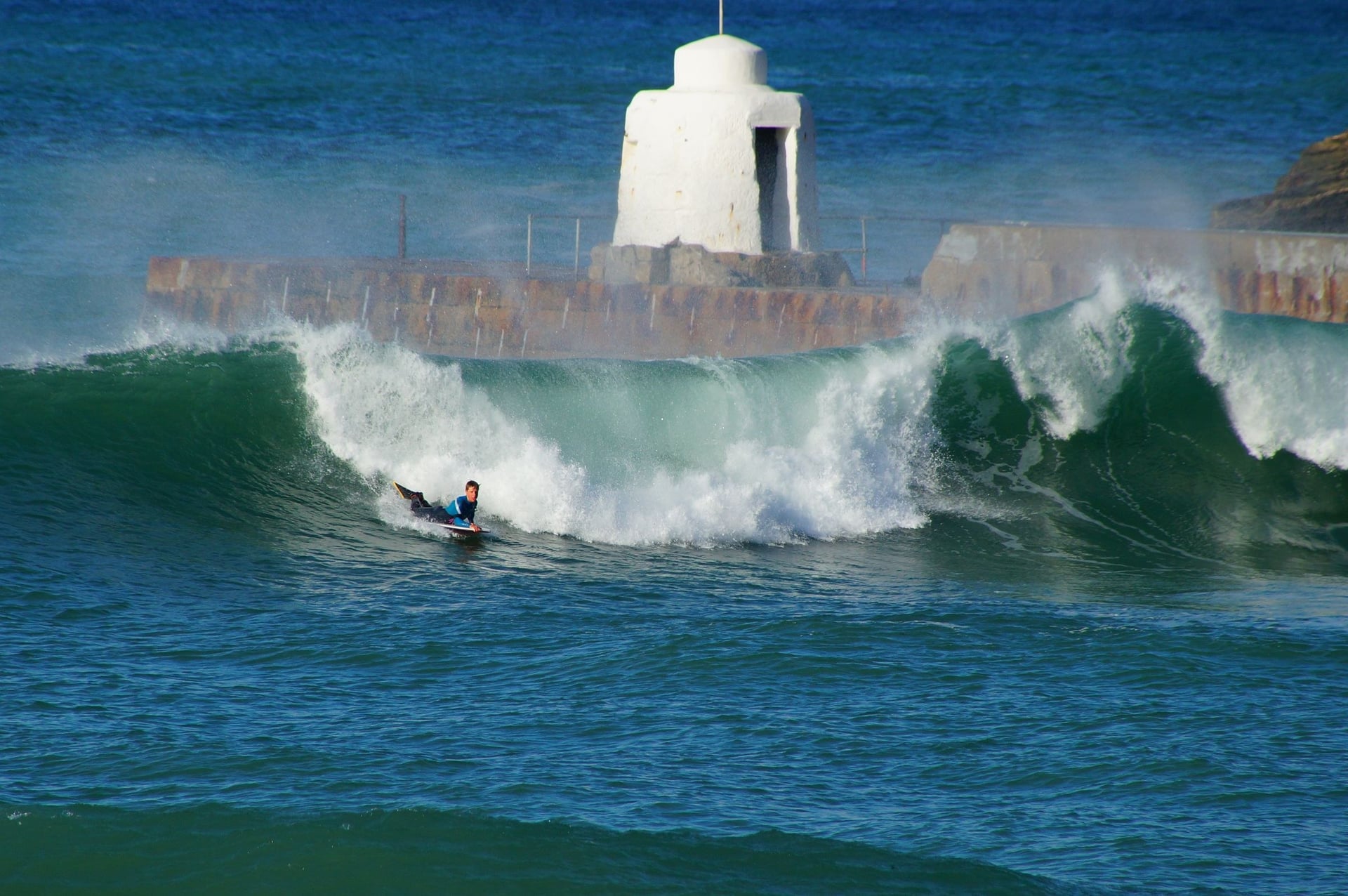
Old mineral lines carry the Coast to Coast Trail between Cornwall's two coasts. Its northern half follows Cornwall's first tramroad, opened in 1812 to carry ore from the Gwennap mines to Portreath harbour. The southern half follows the Redruth and Chasewater Railway down to the quay at Devoran.
In between lies the Gwennap district, once called the richest square mile in the Old World, and a side loop visits the engine houses of Great Wheal Busy. Take care at the road crossings, as some of the roads are busy.
The trail is part of the Mineral Tramways network, and bike hire is available at Bissoe, Redruth and Portreath. It is a different ride from the C2C across northern England, which runs from the Irish Sea to the North Sea.
5. The Great Flat Lode Trail
Distance: 7.5 miles (12 km) circular
Route: a loop south of Carn Brea, between Camborne and Redruth
Surface: mostly off-road, with some steep sections
Best bike: mountain bike or hybrid with low gears
Nearest station: Camborne or Redruth
Best for: mining history in half a day
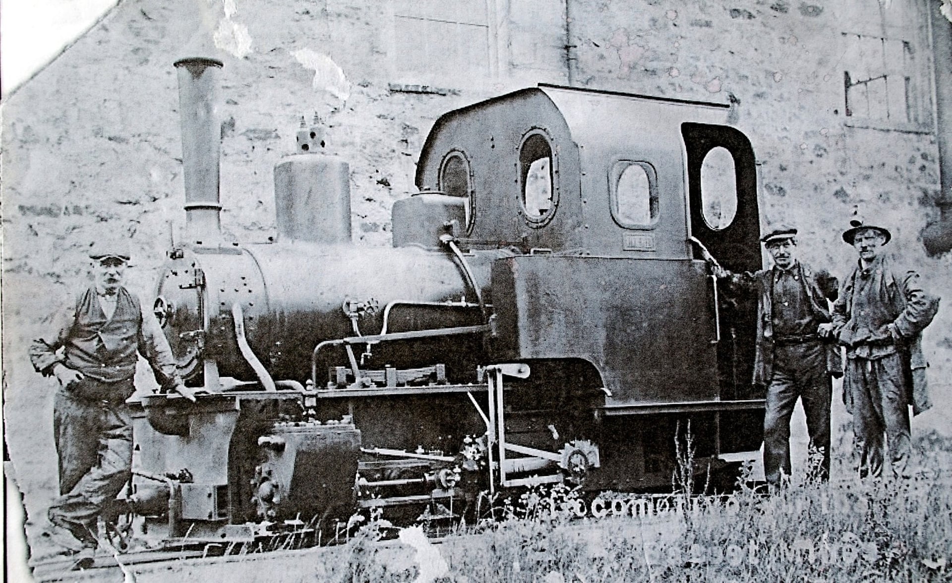
This loop passes the largest group of Cornish engine houses anywhere, according to Cornwall Council's Mining Trails guide. The tin lode found here in the 1860s ran for more than 2 miles and lay at about 30 degrees, against the usual 70. That angle gave it the name "flat", and the mines worked until about 1920.
Despite the name, the trail itself is not flat: the loop has some steep sections between the farmland and the heath. Park at King Edward Mine Museum, which has a café, or at South Wheal Frances. From the trail you can climb Carn Brea to see the headframe of South Crofty, the last Cornish tin mine, which closed in 1998.
6. The Clay Trails
Distance: 11.9 miles (19.1 km) of linked trails
Route: Bugle, Wheal Martyn and Par to the Eden Project, north of St Austell
Surface: 72.5% traffic-free; mostly firm gravel, with some asphalt and loose sections
Best bike: hybrid or mountain bike
Nearest station: St Austell or Par, or Bugle and Luxulyan on the Newquay line
Best for: families combining a ride with the Eden Project
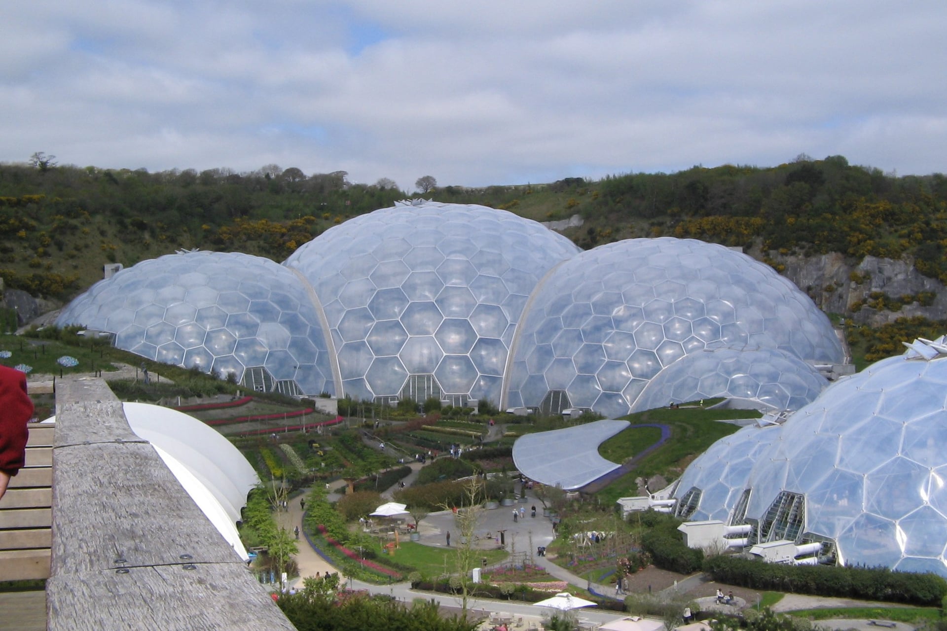
Mining left white spoil heaps and flooded pits in the china-clay country north of St Austell, and the Clay Trails opened there in March 2005. Walk Wheel Cycle Trust links them into an 11.9-mile route that ends at the Eden Project, built in a former clay pit.
Of the Clay Trails, Bugle to Eden is the easiest ride, with one moderate climb past fishing lakes. Wheal Martyn to Eden has steeper slopes and wide views over St Austell Bay. Between St Blazey and Eden the trail is a footpath, so riders use Cornhill Lane, which is quiet but hilly.
Arrive at Eden by bike and your group gets a free guidebook, and the site has bike racks and luggage lockers. A few miles north-west, near Roche, the 7-mile Goss Moor trail circles a 480-hectare nature reserve on a flat, surfaced track.
7. Mount's Bay Cycle Path
Distance: about 3 miles (5 km) one way
Route: Penzance railway station to Marazion, beside the beach
Surface: flat, traffic-free seafront path
Best bike: any bike, including child seats and trailers
Nearest station: Penzance
Best for: an easy ride to St Michael's Mount straight off the train
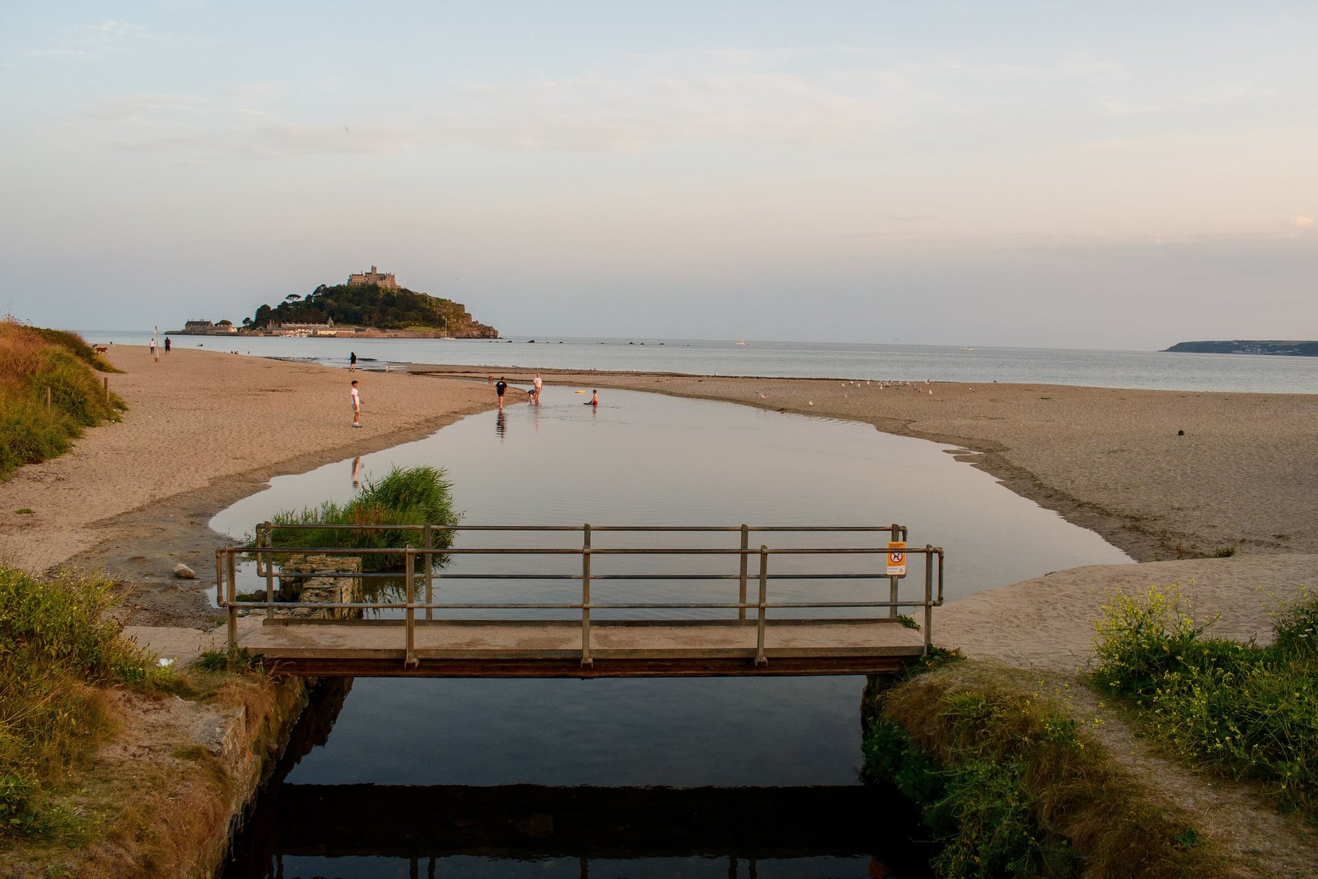
This flat seafront ride starts at Penzance station and follows the shore of Mount's Bay to Marazion. It is part of the Cornish Way and of the First and Last Trail, and the council rates this section suitable for families and wheelchair users.
At Marazion, lock the bike and walk to St Michael's Mount. The cobbled causeway is open for about four hours a day around low tide and takes 15 minutes to cross. The island is closed on Saturdays, and boats run when the tide covers the causeway.
8. Lanhydrock Bike Trails
Distance: seven graded trails from 0.3 to 3.5 miles (0.5 to 5.6 km)
Route: the National Trust's Lanhydrock estate, south-east of Bodmin
Surface: purpose-built woodland trails graded green, blue and red
Best bike: mountain bike; the green Lodge Trail suits any bike, trailers and adaptive bikes
Nearest station: Bodmin Parkway
Best for: children and adults trying mountain biking for the first time
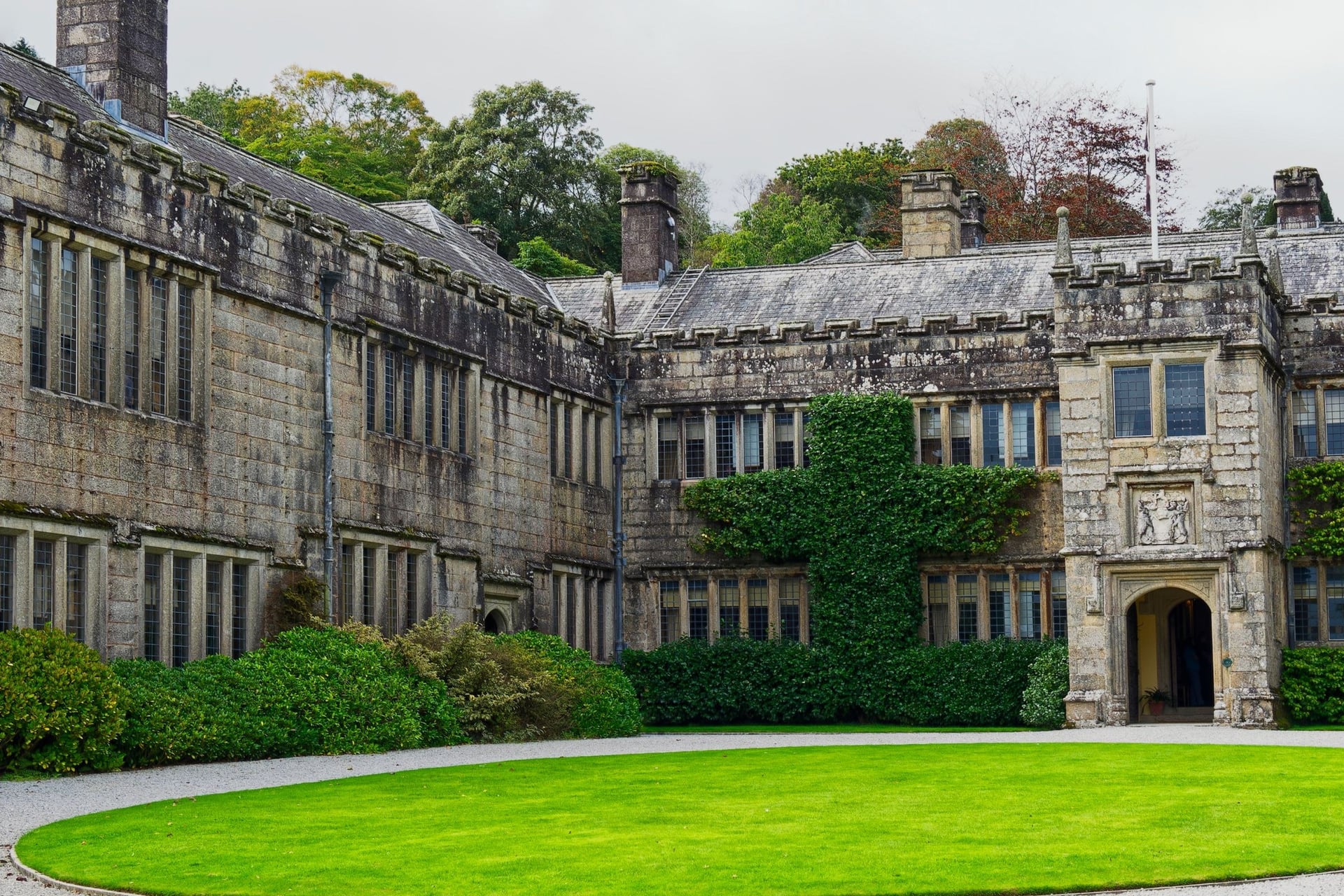
Riding the trails at Lanhydrock is free, and parking is free for National Trust members. The green Lodge Trail (1.5 miles) suits beginners, trailers and adaptive bikes, and the blue Discovery Trail (3.5 miles) crosses the River Fowey and passes the gatehouse.
Walter's and Hart trails are 2 metres wide, with rollers and rollable jumps that suit adaptive mountain bikes, and Timber Trail is the most technical. The estate's cycle centre closed in November 2025, so bring your own bike or hire one in Bodmin.
About 2 miles north-east, Forestry England's Cardinham Woods has the Bodmin Beast, 6.1 miles (9.8 km) of blue-graded singletrack with two optional red sections. Its car park and trails are open from 6am to 9pm every day.
9. The Lizard Loop From Helston
Distance: about 32 miles (51 km) circular
Route: Helston, Goonhilly Downs, Cadgwith, Lizard Point, Kynance Cove, Mullion and back to Helston
Surface: quiet lanes and B roads, with no signed route
Best bike: road bike, hybrid or e-bike
Nearest station: Camborne; Helston has no railway station
Best for: road riders who want the most southerly point of mainland Britain
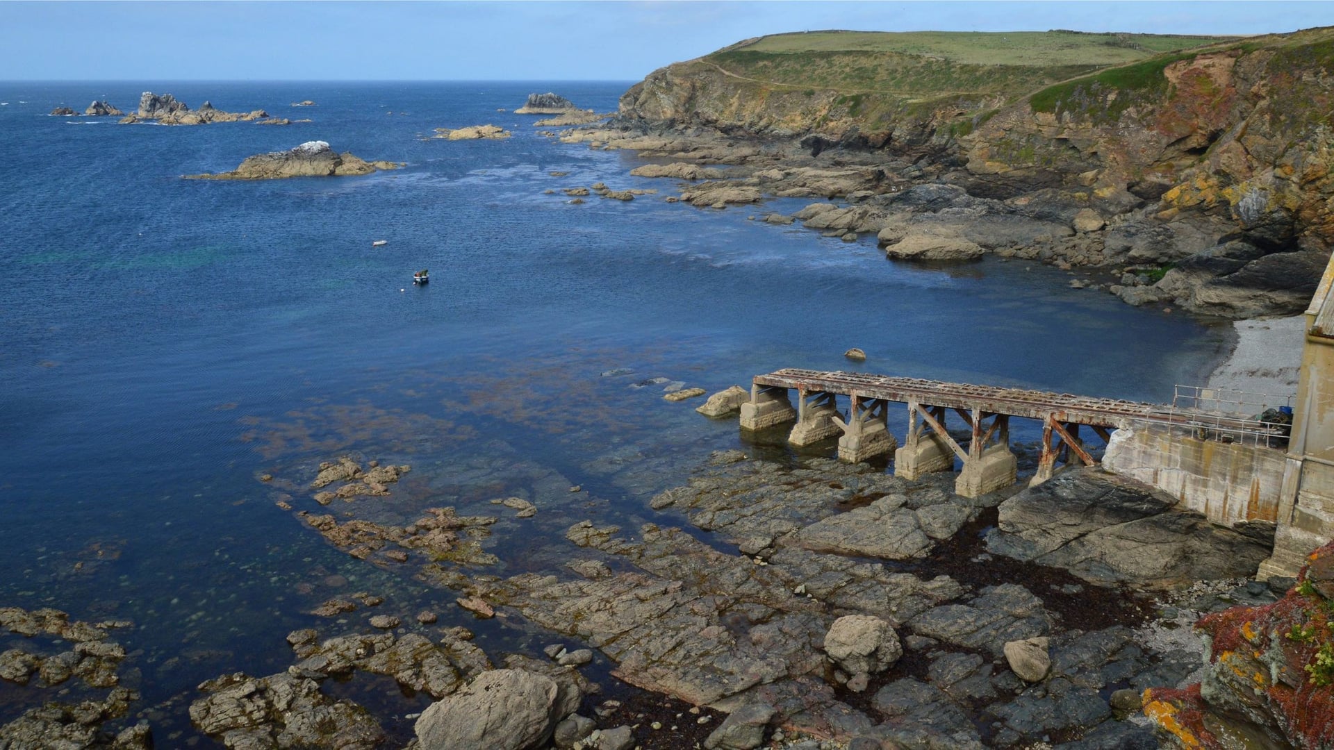
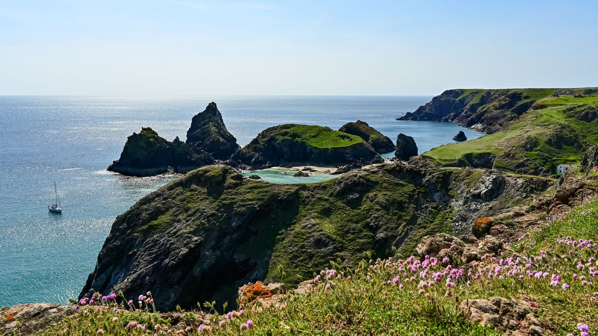
The Lizard is a low heathland plateau, so this loop gains only about 400 m in 32 miles. It crosses Goonhilly Downs past the satellite dishes of Goonhilly Earth Station, drops to the fishing cove at Cadgwith and reaches Lizard Point, the most southerly point of mainland Britain.
The way back passes the lane to Kynance Cove and runs through Mullion and Cury to Helston. Load a GPX before you go, as no signs mark the loop. At Kynance, the National Trust warns that the beach almost disappears at high tide, so check the tide before you walk down.
How Hard Is Cycling in Cornwall?
Cornwall's hills are short and steep and come one after another, so a day's elevation gain matters more than its distance.
Coast Road Hills
The coast roads drop to sea level at almost every cove and climb straight back out on short, steep lanes. On the West Kernow Way, Cycling UK warns e-bike riders not to run out of battery on a 25% climb.
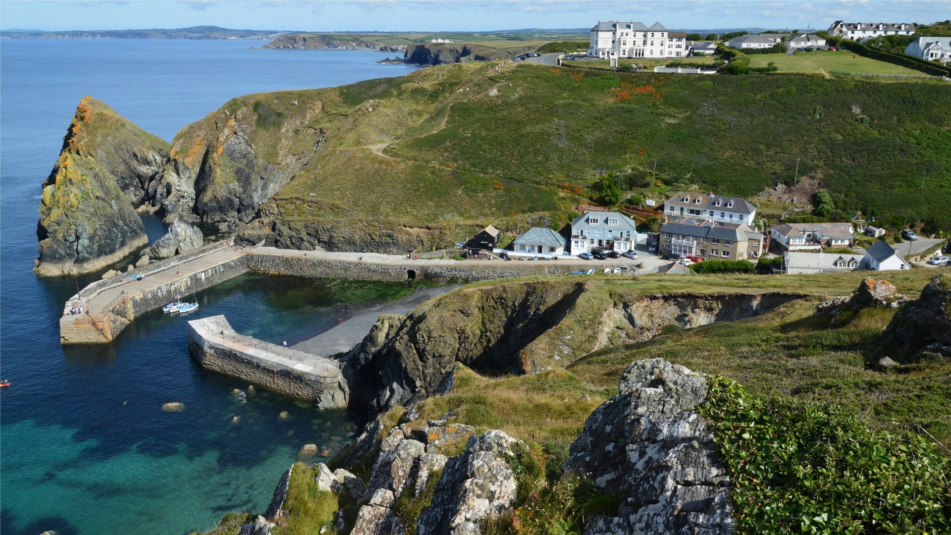
The difference shows in the numbers. A 31-mile coast ride from Porthleven across the Lizard to Falmouth gains about 975 m, while the 18-mile Camel Trail stays virtually level. Plan coast days by elevation gain, not by miles, and give the longest ones a whole day.
Trail Surfaces and Which Bike
Most of the signed riding is sealed: Walk Wheel Cycle Trust measures the Cornish Way at 88.5% asphalt. The rail trails mix tarmac with firm gravel, which any hybrid handles without trouble, and the Clay Trails are 44% unsealed but firm.
For most riding a hybrid is enough, and a mountain or gravel bike only matters off-road. Cycling UK recommends tyres of at least 35 mm for the West Kernow Way, and Lanhydrock's blue trails and the Bodmin Beast need a mountain bike. On the Camel Trail, hire firms rent hybrids and e-bikes by the day.
Traffic, Lanes and Wind
Away from the trails, most riding is on narrow lanes between high Cornish hedges, the earth-and-stone banks that line the fields. Only 24% of the Cornish Way is traffic-free, so expect cars on the lanes in July and August.
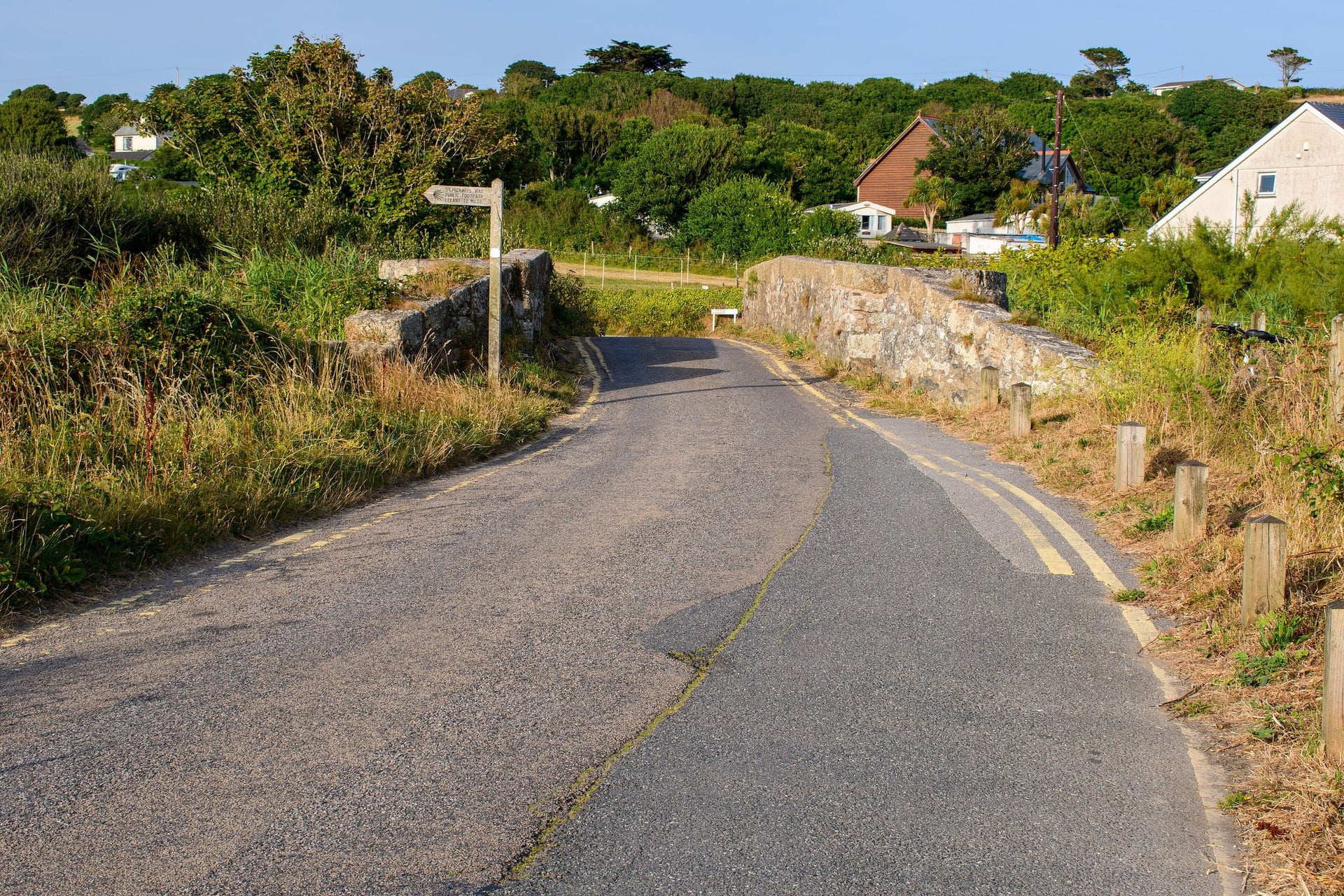
Apart from Land's End itself, the signed routes keep off the A30, the county's main road. On the exposed stretches, the wind is the other test: the Padstow end of the Camel Trail runs beside the open estuary, and Bodmin Moor has little shelter.
Signs and Navigation
The Cornish Way carries National Cycle Network signs for Routes 3 and 32, and the Camel Trail and the mining trails have their own signs. The West Kernow Way and the Lizard loop have none, so carry a GPX for any ride off the signed network.
Signs go missing in towns, where several routes meet, so carry a map as well. Walk Wheel Cycle Trust's Cornwall Cycle Map covers the whole county, including Penzance, Newquay, Bodmin and Bude.
Best Time to Cycle in Cornwall
Cornwall is mild all year, so the seasons change the daylight, the rain and the crowds more than the temperature. The Met Office station at Camborne, in the middle of the county, gives a fair picture of the whole of it.
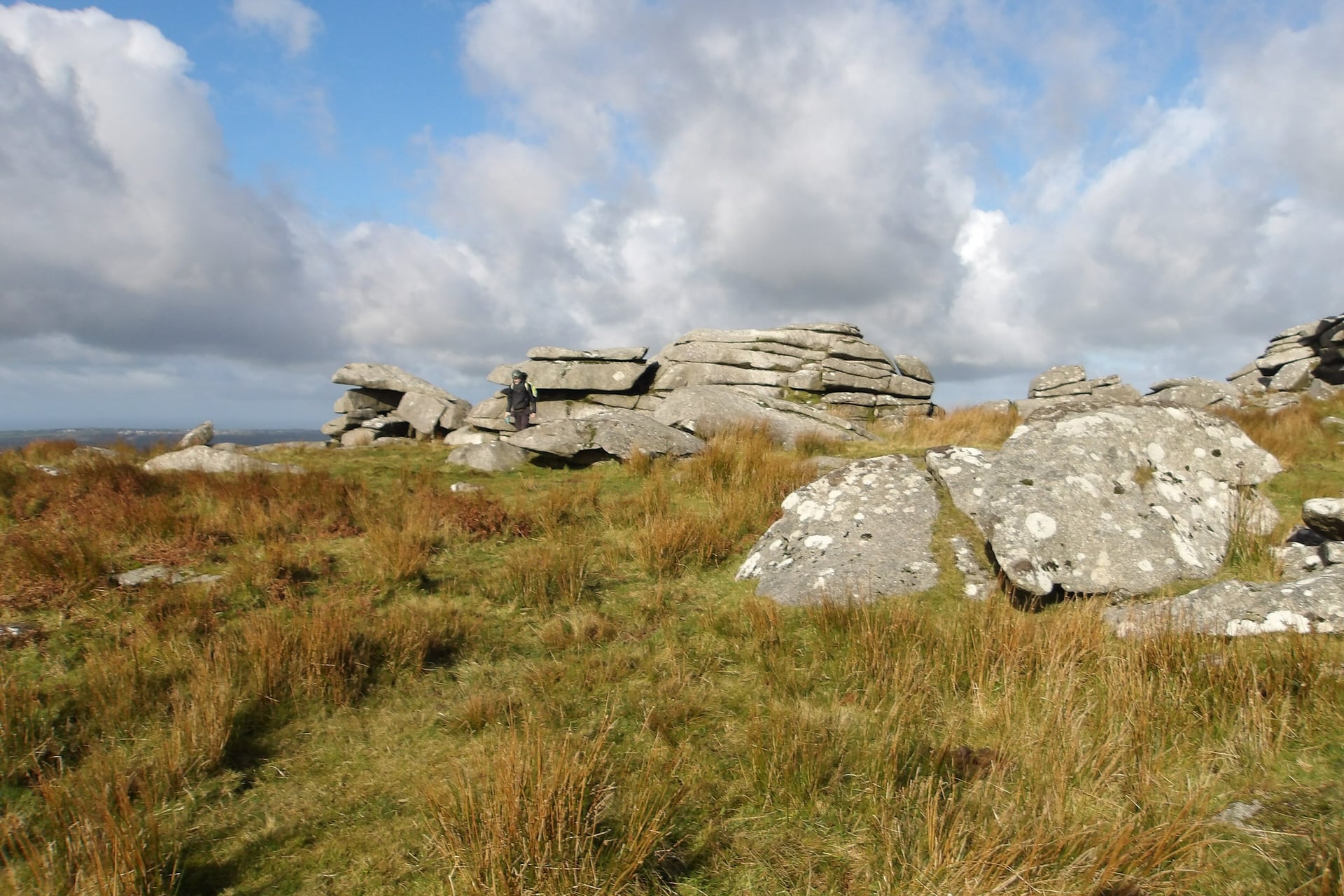
April and May: Camborne averages 12 to 15 °C by day. May is the sunniest month, with 208 hours of sunshine, and the driest, with 61 mm of rain.
June: 17 °C by day and about 16.5 hours of daylight at the solstice, before the school holidays fill the trails.
July and August: the warmest months, 19 °C by day. The school holidays bring the most riders to the Camel Trail and the harbour towns.
September: still 17.5 °C, with 154 hours of sunshine and about 12.5 hours of daylight by mid-month.
October: 14.6 °C, but 111 mm of rain and about 10.5 hours of daylight by mid-month.
November to March: 9 to 12 °C by day. November is the wettest month, with 130 mm, and December has about 8 hours of daylight.
For most riders, May, June and September are the best months, with long days, less rain and room on the trails. In winter the trails stay open, but moorland and off-road sections turn muddy, and the short days mean lights on most rides.
Getting to Cornwall With a Bike
Main-line trains into Cornwall cross the River Tamar on Brunel's Royal Albert Bridge, opened in 1859, and run the length of the county to Penzance. GWR runs the line from London Paddington, and every station in the table is on it.
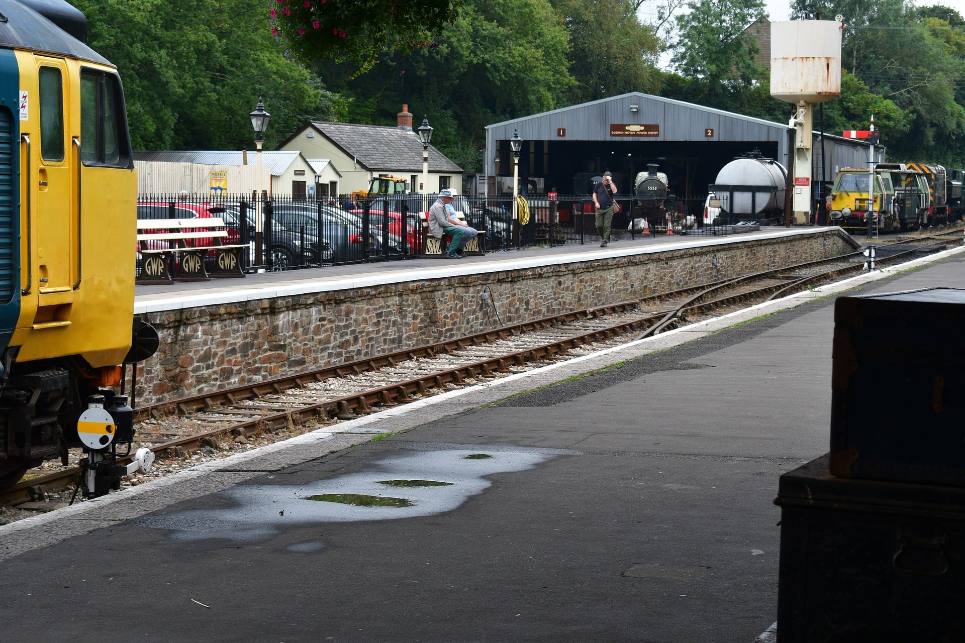
The Night Riviera sleeper leaves Paddington at 23:45 on weeknights and reaches Penzance at 07:50, setting down at Bodmin Parkway, St Austell, Truro, Redruth and Camborne on the way. A bike reservation is mandatory on the sleeper, and GWR makes no charge for one.
Station | Routes it serves | Good to know |
Bodmin Parkway | Camel Trail, Lanhydrock, Cardinham Woods, Cornish Way | About 3 miles to the Camel Trail at Bodmin on Route 3, via Lanhydrock |
Penzance | Cornish Way start, West Kernow Way, Mount's Bay path | End of the main line and of the Night Riviera |
Redruth and Camborne | Coast to Coast Trail, Great Flat Lode Trail | Main-line stations in the mining district |
St Austell and Par | Clay Trails, Eden Project | Change at Par for Luxulyan and Bugle on the Newquay line |
Truro | Cornish Way, where Routes 3 and 32 split | Main-line station in the city centre |
GWR carries at least two full-size bikes on each train, but unreserved bikes are refused at London's rush hours: on trains arriving at Paddington from 07:30 to 09:30 and leaving from 16:00 to 19:00. On Intercity Express trains, bikes hang vertically on hooks. Padstow, Helston and Bude have no railway, so plan those ends by bike, bus or taxi.
Know Before You Arrive
Most of the planning comes down to summer beds, a hire bike for the trails and the tide times on the coast.
Where to Stay
It pays to base yourself by the trail you want to ride. Padstow, Wadebridge and Bodmin suit the Camel Trail, and Penzance or Marazion the far west. Redruth and Truro are handy for the mining trails, and St Austell or Mevagissey for the Clay Trails.
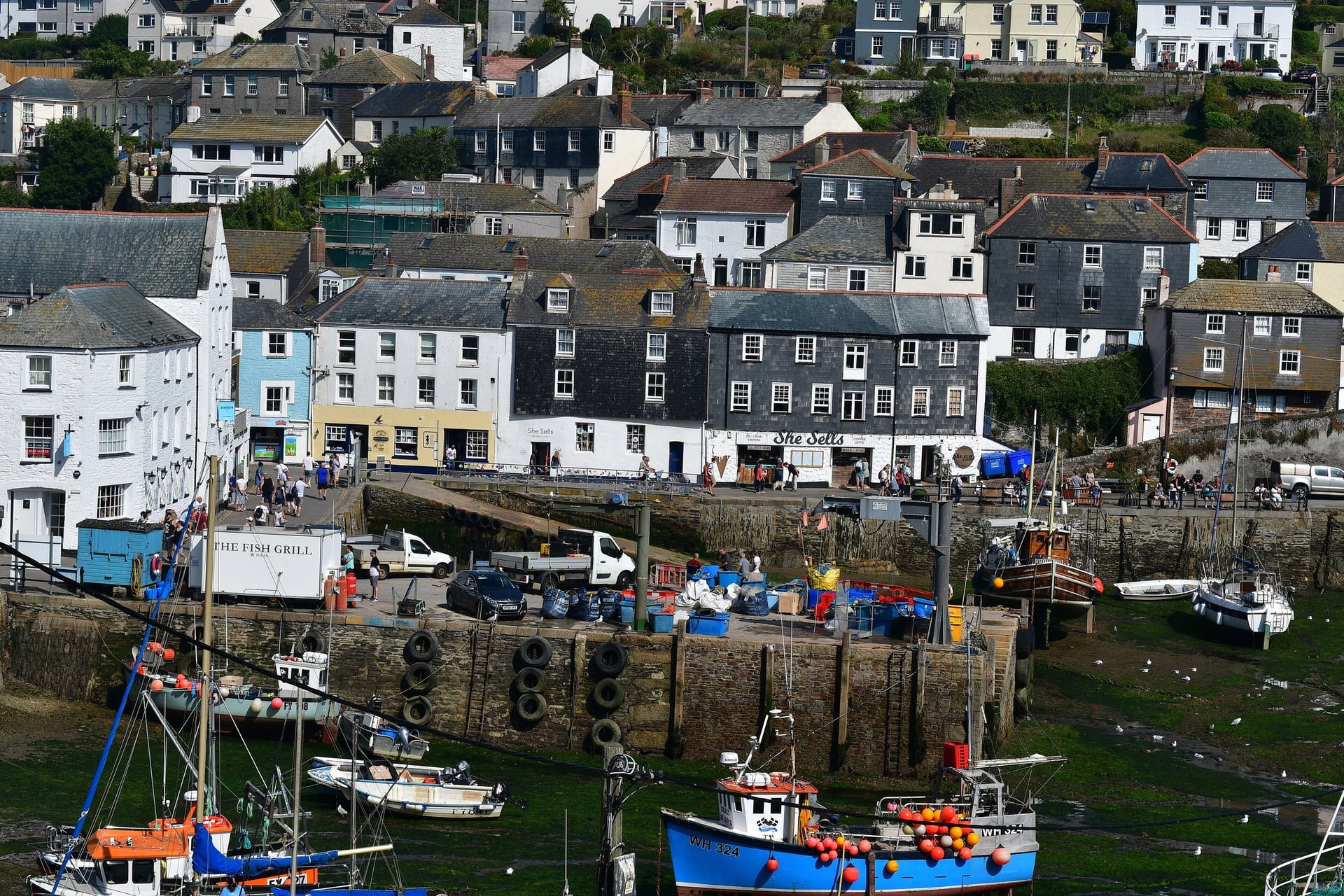
Harbour towns such as Padstow and St Ives fill first in July and August, so book those nights early.
Hostels suit riders on a budget. YHA Penzance, in a Georgian mansion on the edge of town, has a cycle store and supplies bedding in private rooms. YHA Treyarnon Bay has 16 bedrooms west of Padstow, and YHA Land's End is closed for refurbishment.
Bike Hire
Of all the routes, hire is easiest on the Camel Trail, where licensed firms work from Padstow, Wadebridge, Bodmin and Wenfordbridge. Padstow Cycle Hire rents hybrids with panniers and e-bikes by the day, with cheaper rates from 1.30pm, and its e-bikes have a range of 35 miles.
For the mining trails, Saint Piran Café and Bike Hire at Bissoe rents mountain bikes and e-bikes beside the Coast to Coast Trail, seven days a week.
How Much Does It Cost?
The trails are free to ride, so the money goes on hire, parking and trains, plus a few big attractions.
Trails: free on the Camel Trail, the Mineral Tramways and Goss Moor
Bike hire: £25 a day for a hybrid and £40 for an e-bike at Padstow Cycle Hire
Eden Project: £35.50 for an adult online or £39.50 at the door, valid for a year
Bodmin and Wenford Railway: £9 for an adult single to Bodmin Parkway or Boscarne Junction; bikes free if there is space
Trail-centre parking: £6 a day at Lanhydrock, free for National Trust members, and £8 at Cardinham Woods
Trains: GWR bike reservations are free
What to Pack
Cornwall is mild but wet: Camborne averages more than 110 mm of rain a month from October to January. Cycling UK warns that bad weather can blow in from the Atlantic with little warning, even in summer.
For any multi-day ride:
Waterproof jacket, a warm layer and cycling gloves
Spare tubes, a pump and a multi-tool
Front and rear lights and a red rear reflector, which the law requires after dark
Phone with the GPX files, a power bank and two water bottles
For Cornwall:
Low gears for the climbs out of every cove
Tyres of 32 mm or wider for the gravel on the rail trails, and 35 mm for the West Kernow Way
A lock for the harbour towns, the Eden Project and the walk to St Michael's Mount
The tide times for the causeway and Kynance Cove
Swimwear, because many routes pass a beach
One Camel Trail Day or a Week on the Coast?
The Camel Trail fills a day, but a week on the coast takes planning. Padstow has no station, coast days gain up to 975 m, the harbour towns fill in summer, and the south coast needs two ferries: the seasonal Helford crossing and Falmouth to St Mawes.
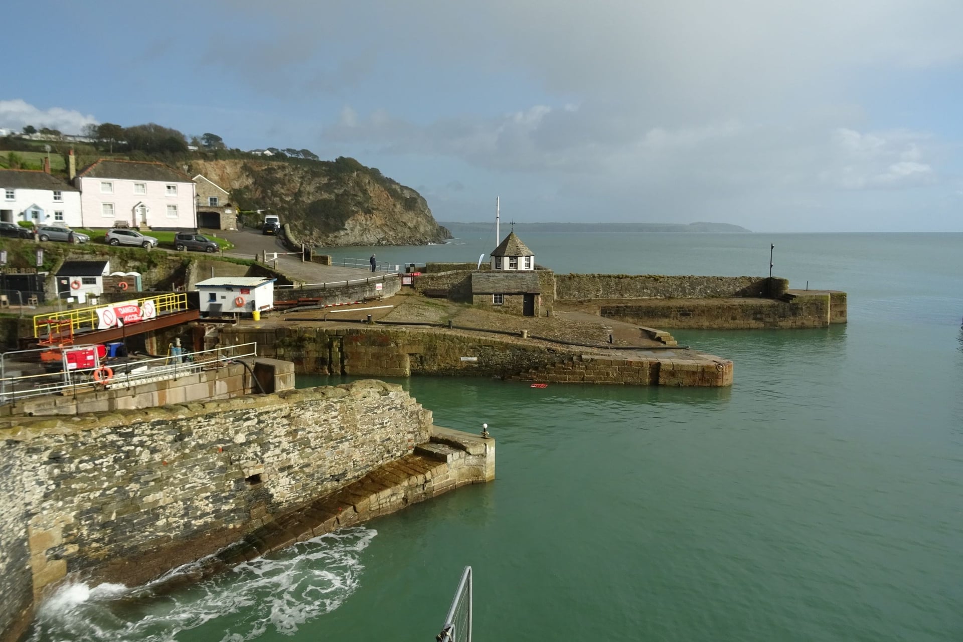
Our self-guided Cornwall Cycle Tour is a loop from Padstow round the coast. It rides the north coast to St Ives, rounds Land's End and the Lizard, crosses the Roseland and returns through the Clay Country, with the Camel Trail from Bodmin to Padstow on the last riding day.
Duration: 9 days / 8 nights, 7 riding days, April to October
Route: Padstow, Newquay, St Ives, Penzance, Porthleven, Falmouth, Charlestown and back to Padstow, about 165 miles
Daily rides: 12 to 31 miles, with 160 to 975 m of elevation gain, on a gravel bike or e-bike
Nights: 3-star hotels with breakfast, with your luggage moved each day
We book all eight nights and give you a GPS app, a digital guidebook and support while you ride. Ask us about dates for next season. For rides elsewhere in Britain, see the full list of our UK tours.
The loop ends where it started, on the Camel Trail into Padstow, with the estuary beside you for the last few miles and the harbour at the end.
Frequently Asked Questions



Plan with a cycling expert
Free advice from a team that knows these routes inside out - real people, not a bot

Hassle-Free
We take care of route planning, accommodations, luggage transfers, and all logistics, so you can focus purely on enjoying your ride.

Tried & Tested Adventures
Our cycling routes are hand-picked & tested, to ensure breathtaking landscapes, smooth roads, and maximum safety - giving you the perfect ride every day.

Unbeatable Support
Our 24/7 customer support is where we show our passion, ensuring your cycling holiday runs smoothly and your well-being is always our top priority.

Book with Confidence
We are a financially protected company, fully bonded and insured, keeping your money safe and allowing you to travel with confidence.